


Caldarola Weather: Forecast and Climate
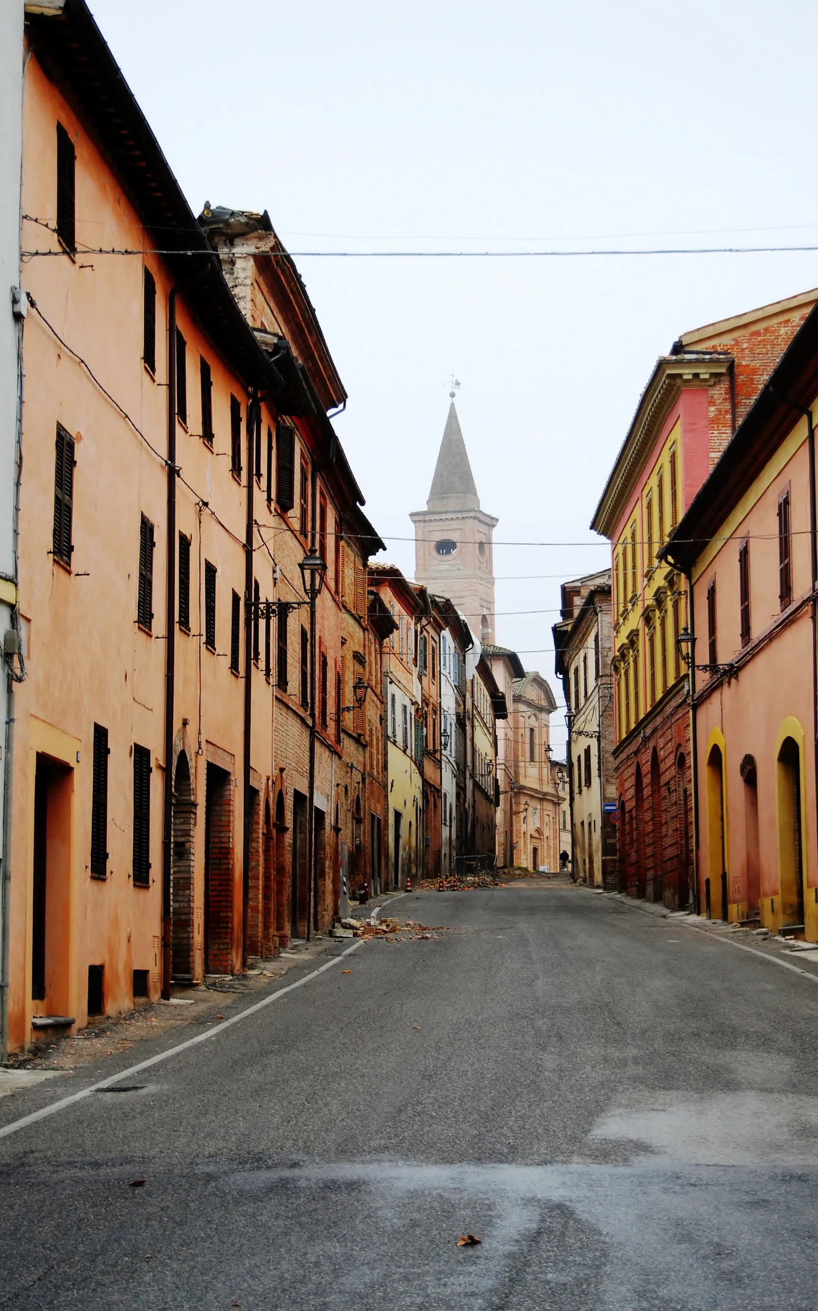
Caldarola weather, in a municipality of the province of Macerata in the Marche, changes noticeably with altitude. The municipal territory rises from 259 to 1,148 m above sea level. The town hall is at 314 m, in the lower part. The town is close to the Sibillini Mountains National Park, but its territory lies outside the park boundary.
Today in Caldarola: cloudy, high 20 °C and low 17 °C, wind up to 26 km/h.
Updated: November 11, 2026 at 12:19 PM
The coming days
| Day | Sky | High / low | Rain | Max wind |
|---|---|---|---|---|
| Today 11 Nov | Cloudy | 20° / 17° | 0.0 mm | 26 km/h SW |
| Thursday 12 Nov | Light showers | 20° / 16° | 3.1 mm | 31 km/h SW |
| Friday 13 Nov | Rain | 18° / 12° | 18.5 mm | 33 km/h SW |
| Saturday 14 Nov | Cloudy | 12° / 8° | 4.2 mm | 12 km/h NW |
| Sunday 15 Nov | Light rain | 13° / 7° | 3.1 mm | 5 km/h SW |
| Monday 16 Nov | Light rain | 17° / 11° | 15.4 mm | 12 km/h SW |
| Tuesday 17 Nov | Partly cloudy | 18° / 12° | 0.6 mm | 17 km/h SW |
| Wednesday 18 Nov | Mostly clear | 17° / 14° | 8.7 mm | 27 km/h W |
| Thursday 19 Nov | Rain | 16° / 13° | 5.1 mm | 24 km/h SW |
| Friday 20 Nov | Mostly clear | 16° / 12° | 0.1 mm | 31 km/h W |
Forecast by MET Norway, updated automatically · license CC BY 4.0
Sunrise and sunset
- Sunrise
- 06:54
- Sunset
- 16:47
Calculated for this page's coordinates, Italian time.
The next 24 hours
- 1320°0.0 mm22 SW
- 1420°0.0 mm21 SW
- 1520°0.0 mm21 SW
- 1619°0.0 mm22 SW
- 1718°0.0 mm22 SW
- 1818°0.0 mm22 SW
- 1917°0.0 mm24 SW
- 2017°0.0 mm25 SW
- 2117°0.0 mm26 SW
- 2217°0.0 mm26 SW
- 2318°0.0 mm26 SW
- 0018°0.0 mm25 SW
- 0118°0.0 mm25 SW
- 0218°0.0 mm26 SW
- 0318°0.0 mm25 SW
- 0417°0.0 mm20 SW
- 0517°0.0 mm18 SW
- 0616°0.2 mm17 SW
- 0716°0.5 mm14 S
- 0816°0.0 mm10 SW
- 0917°0.0 mm13 SE
- 1017°0.2 mm13 E
- 1118°0.2 mm13 NE
- 1218°0.0 mm14 NE
Caldarola Weather: Forecast for the Coming Days
The difference in height of almost 900 m between the lowest and highest parts of the municipal territory shows why conditions can differ from one point to another. When planning a visit, keep in mind that the town is around 300 m, while the hills of the municipality reach much higher altitudes. Before setting off it is worth checking the latest forecast for the town and for the area you plan to visit.
For a wider picture of the area, the page on Sibillini Mountains Weather gathers information on the Sibillini. The Cessapalombo weather page covers another municipality in the province of Macerata.
Caldarola Weather: Snow and Conditions
The territory of Caldarola stretches north to south and lies on the slopes of the Umbria-Marche Apennine ridge. The main heights are Poggio la Pagnotta, at 1,148 m, and Poggio la Serra, at 1,070 m. They have soft, rounded shapes and do not reach great altitudes. Much of the rest of the territory is hilly, below 700 m, and areas below 300 m are limited to the narrow strip along the rivers.
The Chienti river crosses the municipality in its middle course, and along this stretch are the artificial lakes of Caccamo and Belforte. For information on snow and high-altitude conditions in the Sibillini, see the Sibillini Mountains Weather page.