


Towns Near the Sibillini Mountains
Photo: The original uploader was Infinitispazi at Italian Wikipedia. / CC BY 2.5 / Wikimedia Commons
Near the Sibillini Mountains, just outside the borders of the national park, there are towns and areas linked to the mountains by roads and trails. The Sibillini National Park in the Sibillini Mountains was established in 1993 and today covers about 70,000 hectares across Le Marche and Umbria, in the provinces of Macerata, Fermo, Ascoli Piceno and Perugia. As a result, the towns around the massif are quite different from one another, on both sides of the range.
On the southeastern side is Ascoli Piceno, the main town of the Piceno area. The city lies on the Via Salaria, where the Tronto river meets the Castellano stream. To the north is Monte Ascensione, to the west the Sibillini, to the south the Monti della Laga, while to the east the Tronto valley runs down to the sea. Alternating a day in the city's travertine streets with hikes at altitude is a good way to get to know the area better.
In this section
1 result
No results with these filters.
On the map
Points from the site database. Map © OpenStreetMap contributors · Protomaps.
Ascoli Piceno, near the Sibillini Mountains
Ascoli Piceno borders two national parks: the Sibillini National Park to the northwest and the Gran Sasso and Monti della Laga National Park to the south. From the center of Ascoli it takes about 40 minutes by car to reach the area of Monte Vettore. At 2,476 meters, Monte Vettore is the highest peak in Le Marche. Norcia, on the Umbrian side, is about 70 km from Ascoli in the direction of Perugia.
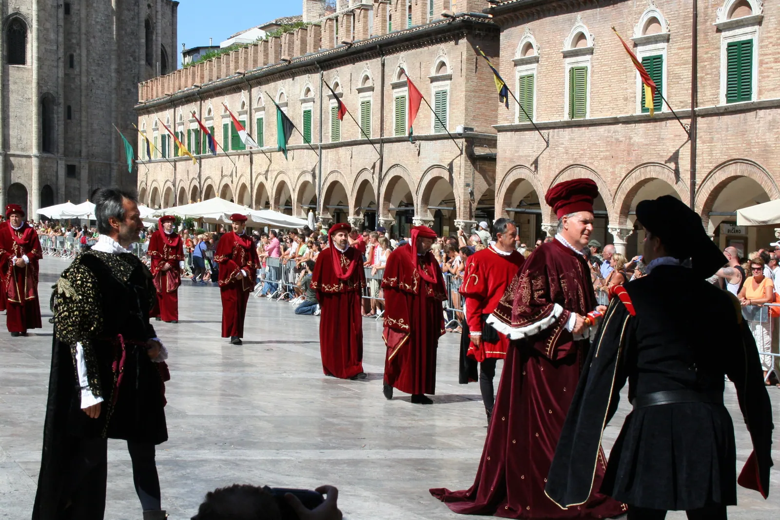
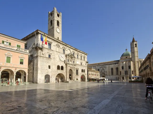
The historic center of Ascoli is built almost entirely of travertine. Ascoli is also called the "city of a hundred towers". Piazza del Popolo, a Renaissance square, is paved with slabs of polished travertine that reflect the buildings like a mirror when it rains. The square takes its name from the Palazzo dei Capitani del Popolo, recognizable by the crenellated medieval tower on its western side. The church of San Francesco also faces the square. Piazza del Popolo hosts the events of the city's two best-known festivals, Carnival and the Quintana. Not far away is Piazza Arringo, with the Cattedrale di Sant'Emidio, the baptistery and the Palazzo dell'Arengo, which houses the town hall and the art gallery. Ascoli is also the birthplace of the oliva ascolana, the stuffed fried olive.
Ascoli is connected by train to the Adriatic coast and to San Benedetto del Tronto. The Salaria state road leads toward Rome. Buses leave from Ascoli station for Montegallo, a village at the foot of Monte Vettore. Montegallo is also a starting point for hikes to Lago di Pilato. Those who prefer to walk can follow the Grande Anello dei Borghi Ascolani: it starts in the historic center and in seven stages crosses the municipalities of Ascoli Piceno, Venarotta, Comunanza, Roccafluvione, Montegallo and Acquasanta Terme.
The 2016 earthquake hit the Sibillini National Park hard. Before heading up into the mountains, it is worth checking the condition of roads and trails. The stops for a visit to the city are in the guide Ascoli Piceno.