


Le Marche Map: Provinces, Coast and Mountains
A Le Marche map is easiest to read as three bands running parallel to the Adriatic: the coast, the hills and the Apennines. Le Marche lies on the eastern side of central Italy, with about 180 km of coastline from north to south. It borders Emilia-Romagna and San Marino to the north, Tuscany and Umbria to the west, Lazio to the southwest and Abruzzo to the south.
This site covers the Sibillini Mountains and their surroundings, in the southwest of the region. This page gives an overview of the whole region and links to the detailed maps and pages for the Sibillini area.
On the map
Points from the site database. Map © OpenStreetMap contributors · Protomaps.
Le Marche map: the five provinces
From north to south, the region is divided into five provinces: Pesaro e Urbino, Ancona, Macerata, Fermo and Ascoli Piceno. All of them reach the Adriatic, so each province has a stretch of coast, a band of hills and a mountain area inland. In regional guides the provinces often appear with their abbreviations: PU, AN, MC, FM and AP.
Ancona is the regional capital and the main port. Urbino and Pesaro are in the north, Macerata and Fermo in the center-south, and Ascoli Piceno, built almost entirely of travertine, in the far south, 28 km from the sea.
The coast and the hills
The coast is mostly made of long sandy beaches, from Gabicce Mare and Pesaro through Fano, Senigallia, Porto Recanati, Civitanova Marche and Porto San Giorgio to San Benedetto del Tronto. The two exceptions are the cliffs of Monte San Bartolo, between Gabicce Mare and Pesaro, and Monte Conero, south of Ancona, the only headland on the Adriatic between Istria and the Gargano. Many seaside towns have a twin on the hill behind them, such as Recanati with Porto Recanati or Grottammare Alta with Grottammare.
Behind the coast, the land rises quickly into rolling hills with olive groves, vineyards and walled villages. Wide valleys with short rivers cut the hills from the mountains toward the sea, which is why on a Marche Italy map many roads follow the valleys, while inland routes from north to south are fewer.
The Apennines on the Marche Italy map
The mountains run along the western edge of the region. In the north are the Montefeltro, the park of Sasso Simone and Simoncello, Monte Catria and Monte Nerone, and the Gola del Furlo. In the province of Ancona, the Gola della Rossa e di Frasassi park contains the Grotte di Frasassi, near Genga. In the province of Macerata rise Monte San Vicino and the beech woods of Canfaito.
In the south are the highest mountains. The Sibillini range is about 40 km long, extends into Umbria and reaches 2,476 m at Monte Vettore. A small part of the province of Ascoli Piceno, with Acquasanta Terme and Arquata del Tronto, lies in the Gran Sasso and Monti della Laga National Park.
Where the Sibillini Mountains are in Le Marche
The Sibillini sit on the border between Le Marche and Umbria. Their eastern side belongs to the Marche provinces of Macerata, Fermo and Ascoli Piceno, while the western side slopes toward the province of Perugia. The page where are the Sibillini Mountains lists the municipalities of the National Park, and the Monti Sibillini map shows the official trails and closures.
On the Marche side, the main reference towns are Visso, seat of the National Park, in the upper Valnerina; Sarnano at the foot of the northern peaks; Amandola in the upper Tenna valley; and Montemonaco, at 988 m facing Monte Sibilla. Camerino stands on a hill between the Chienti and Potenza valleys, and Lago di Fiastra is the reservoir in the northern sector of the park.
Getting around the region
A railway line runs along the whole coast, while inland travel from north to south is slower, on winding roads over the passes. Ancona has an airport, Raffaello Sanzio, and a ferry port with lines to Croatia, Albania and Greece. For the Sibillini, the A14 highway along the coast and the state roads up the valleys are the usual routes: exits, stations and bus lines are on the page how to get to the Sibillini Mountains. The other regional pages cover things to do in Le Marche and Le Marche hiking. The regional tourism page on the coast describes the seaside towns one by one.
Villages in the region
24 results
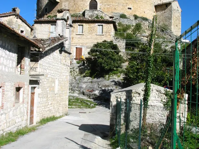 Acquasanta TermeLe Marche · Ascoli Piceno
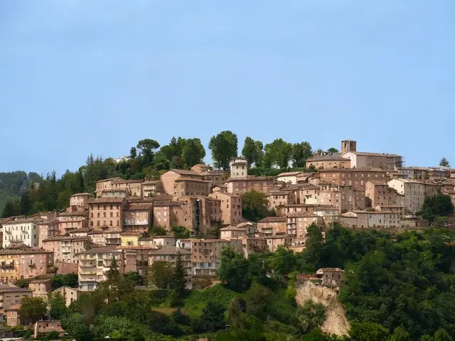 AmandolaLe Marche · Fermo
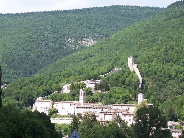 Arquata del TrontoLe Marche · Ascoli Piceno
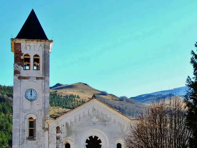 BolognolaLe Marche · Macerata
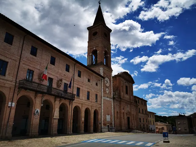 CaldarolaLe Marche · Macerata
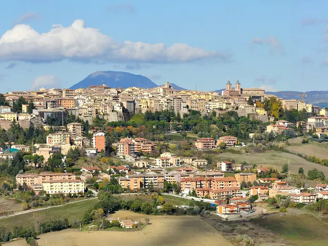 Camerino, ItalyLe Marche · Macerata
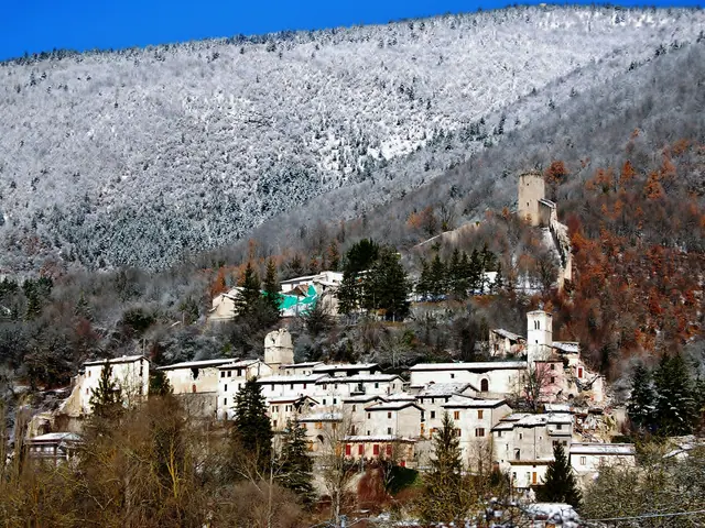 Castelsantangelo sul NeraLe Marche · Macerata
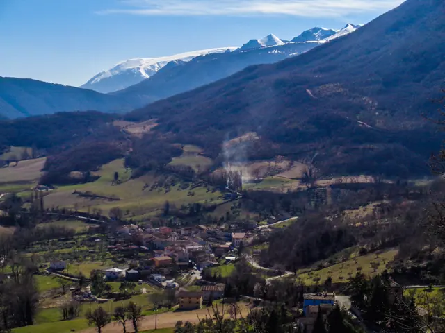 CessapalomboLe Marche · Macerata
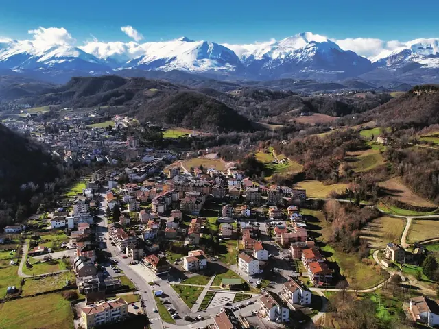 ComunanzaLe Marche · Ascoli Piceno
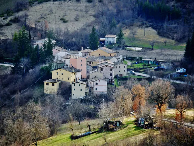 FiastraLe Marche · Macerata
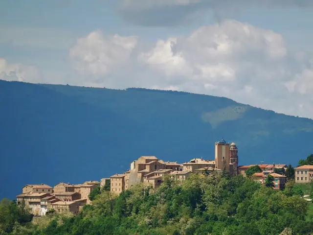 GualdoLe Marche · Macerata
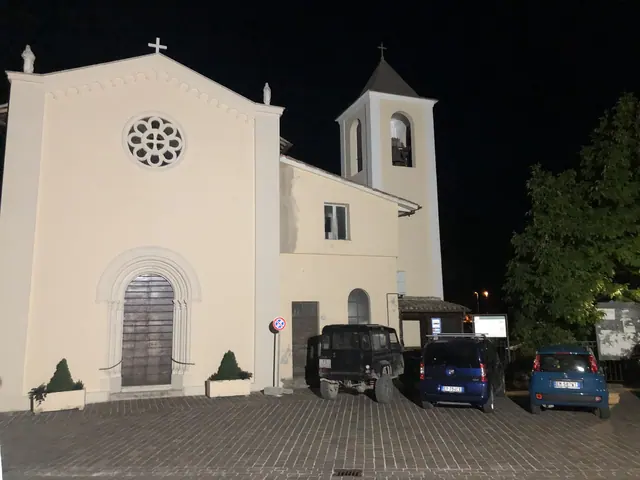 Monte CavalloLe Marche · Macerata
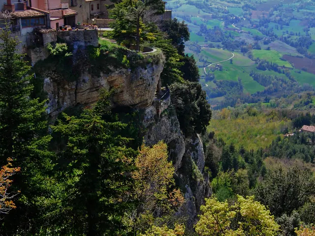 Montefalcone AppenninoLe Marche · Fermo
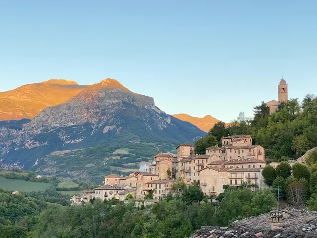 MontefortinoLe Marche · Fermo
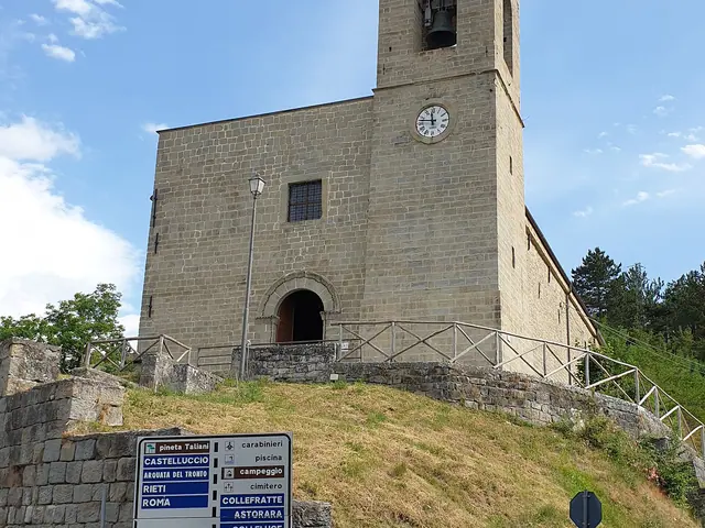 MontegalloLe Marche · Ascoli Piceno
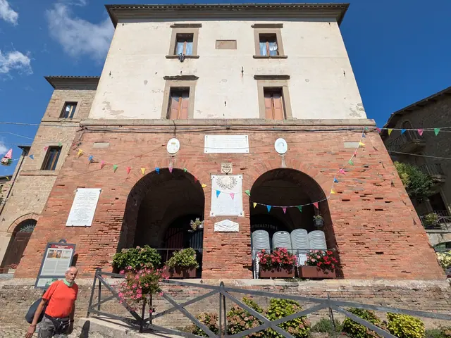 MontemonacoLe Marche · Ascoli Piceno
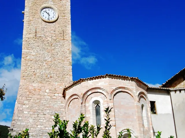 Pieve TorinaLe Marche · Macerata
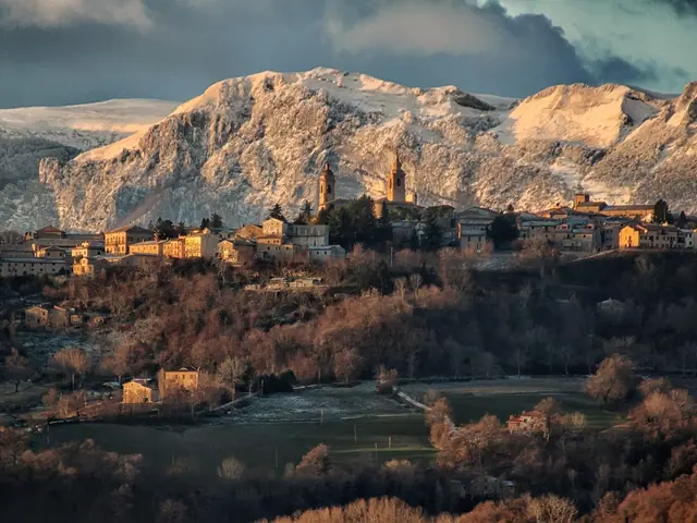 San GinesioLe Marche · Macerata
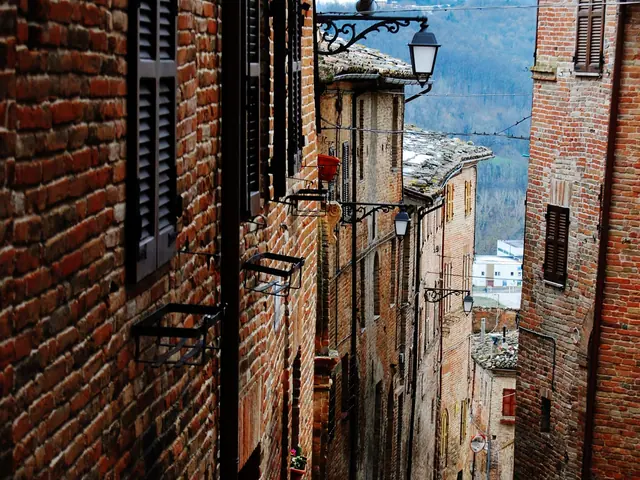 SarnanoLe Marche · Macerata
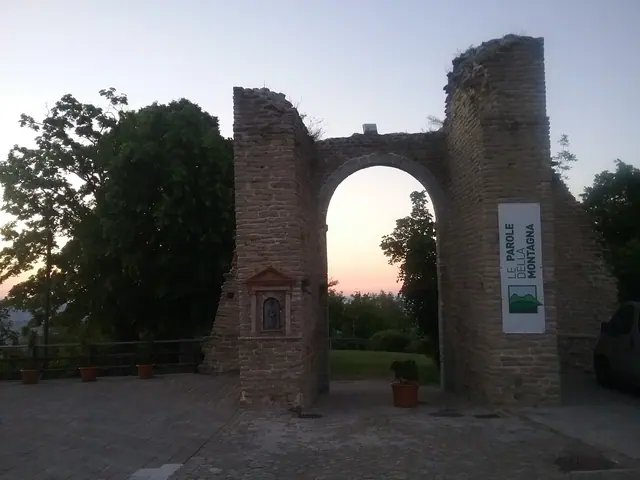 SmerilloLe Marche · Fermo
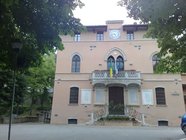 Ussita, Sibillini MountainsLe Marche · Macerata
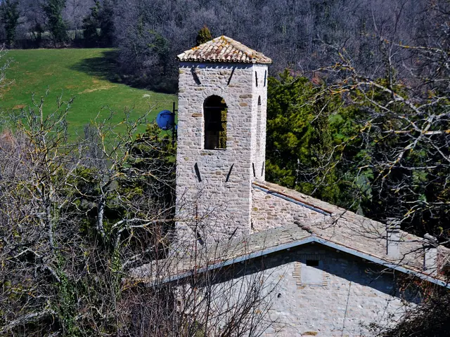 ValfornaceLe Marche · Macerata
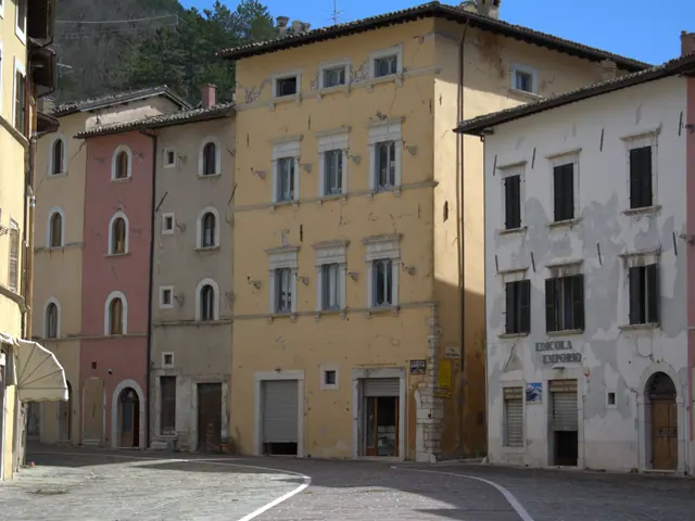 VissoLe Marche · Macerata
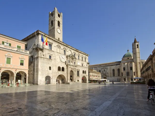 Ascoli PicenoLe Marche · Ascoli Piceno
No results with these filters.