


Press
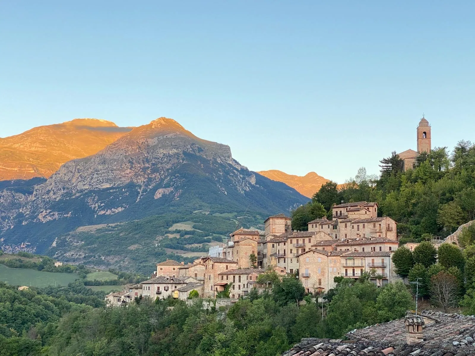
SibilliniGuide is a website devoted entirely to the Sibillini Mountains, available in five languages from day one: Italian, English, German, French and Dutch.
Online since November 2026, it was born from the wish to help people discover, and rediscover, an area of extraordinary beauty between Le Marche and Umbria. Stone villages, peaks rising above 2,400 meters, glacial lakes, gorges, wildflower blooms, flavors and age-old traditions tell the story of a land with a great deal to offer anyone who loves to travel, hike and get to know a place.
It is a land that still bears the marks of the 2016 earthquake and that looks to the future through reconstruction, the work of its communities, and the businesses that keep going and reopening.
SibilliniGuide wants to support this revival through tourism: by showing what makes the Sibillini special, helping people plan their trip, and giving visibility to villages, places to stay, restaurants, producers and local businesses.
This page brings together information about the project for journalists and editors.
A project to help people discover and experience the Sibillini
Choosing a destination and planning a trip takes information that is accessible, clear and easy to find. Anyone who wants to visit the Sibillini often has to search across different websites to learn about routes, find somewhere to stay, decide what to see or work out how to get there.
SibilliniGuide brings together, in one place, trails, villages, natural and cultural sites, places to stay, restaurants, local products and practical information drawn from official sources. It guides visitors from discovering the destination to planning their stay, with useful tools both before they leave and during their visit, so that the wish to visit the Sibillini can more easily become an actual trip.
Because showcasing the Sibillini also means making them easier to discover, reach and enjoy, encouraging the kind of tourism that creates new opportunities for the area.
Who is behind SibilliniGuide
SibilliniGuide is the idea of Jacopo Gonzales, a lover of the Sibillini Mountains, who owns and runs the project. The site was conceived and built by Gonzales Advisory, which brought twenty years of digital marketing experience to the service of the area.
The project combines a passion for these places with a professional approach to online communication: not only telling the story of the Sibillini, but understanding how people search for them, what information they want to find and how to help them plan their visit.
That care shows in the less visible choices too.
The five languages, for example, were not picked at random: they are the result of an analysis of the online searches about the Sibillini Mountains and their places made by people in Italy and abroad.
In the same way, every page is designed to answer the practical questions of people looking for information about the area.
What SibilliniGuide offers visitors
Trails to explore, tracks to take with you
For 221 trails and stages, SibilliniGuide provides a route map, an elevation profile, distance, elevation gain and estimated time.
Tracks can be downloaded in GPX and KML format and loaded into your favorite navigation app, so the route is right there on your phone.
Seven routes, including the Grande Anello dei Sibillini, can also be discovered and followed stage by stage.
"Before you go": what you need to prepare a hike
Planning a hike also means knowing the conditions and the rules of the place you are heading to.
That is why, on the pages about trails and natural sites, a "Before you go" box gathers what is useful for preparing the outing: the weather forecast at the starting point, links to the rules and orders of the Sibillini National Park, the Meteomont avalanche bulletin and driving directions to the trailhead.
When an order closes or reopens a route, a notice gives its number, date and source, so visitors can trace the official measure. The reference for trail status remains the Sibillini National Park (website in Italian).
Weather, snow and webcams
The site offers weather forecasts for 269 locations: the next 24 hours, the following days and sunrise and sunset times.
The data comes from MET Norway and is updated automatically.
The 11 webcam pages present the main viewpoints of the area: six of them, from Castelluccio to Frontignano, lead to live webcam images.
A dedicated page on the avalanche bulletin explains how to read it.
An interactive map to find what's nearby
SibilliniGuide's interactive map brings together 927 points of interest: villages, trails, mountain huts, restaurants and sights.
Lists can be filtered by type and town, with the matching results shown on the map.
Listings also show the location of each place and the points of interest nearby, with distances: useful both for planning an itinerary and once you are already there.
Where to stay, where to eat and who to meet
SibilliniGuide lists 501 places to stay: B&Bs, farm stays (agriturismi), mountain huts, campsites, RV areas and other ways to experience the Sibillini.
On top of these come 481 listings of restaurants, cafés, food shops, bakeries, butchers, farms and outdoor activity operators.
Where available, listings include phone, website, email and opening hours, so you can contact places and businesses directly.
Villages, culture, nature and traditions to discover
The site covers 43 destinations among the villages and areas of the Sibillini, 371 cultural sites, from churches and abbeys to castles, museums and theaters, and 88 natural sites, from peaks and waterfalls to lakes and gorges.
Each listing introduces the history of the place, what there is to see and how to get there.
There is room for food heritage as well, with pages on local products covering their origins, recipes and where to buy them, along with information on events.
Five languages to reach more visitors
Every page is available in all five languages, with translated web addresses, so that visitors from abroad can also search for and find information in their own language.
The site search suggests results as you type, making it easier to find places, routes and points of interest.
Pages can also be shared on WhatsApp, Facebook, X, LinkedIn, Reddit, Pinterest, by text message or by email.
SibilliniGuide in numbers
- 5 languages and 10,298 pages about the Sibillini Mountains
- 221 trails and stages with GPX and KML tracks, maps and elevation profiles
- 7 multi-stage routes
- 501 places to stay
- 481 listings of restaurants, cafés, shops, producers and operators
- 371 cultural sites and 88 natural sites
- 43 destinations among villages and areas
- Weather forecasts for 269 locations and 11 webcam pages, 6 with a live webcam
- 927 points of interest on the interactive map
A free project, supported by affiliate links
SibilliniGuide is free for the people who use it and for the businesses it lists.
No business pays to appear on the site, the site shows no advertising, and the texts contain no reviews.
To help keep the project going, SibilliniGuide uses disclosed affiliate links: Stay22 for accommodation and GetYourGuide for experiences.
When visitors book through these links, they pay nothing extra, and the site may earn a commission.
More details are available on the Affiliate links page.
Press contacts and materials
For information about the project, interview requests and press materials, write to: info@sibilliniguide.com
The SibilliniGuide logo is available for download in SVG and PNG format.


To learn more about the story and goals of the project, see also the About us page.