


Umbria Map
An Umbria map shows a small, landlocked region at the center of Italy, bordered by Tuscany to the west and north, Le Marche to the east and Lazio to the south. Umbria has no coastline and no border with another country. It is divided into two provinces, Perugia and Terni, and its capital is Perugia. This site covers the Sibillini Mountains, which occupy the eastern corner of the region around Norcia: this page gives the overall layout of Umbria and then zooms in on that corner.
On the map
Points from the site database. Map © OpenStreetMap contributors · Protomaps.
The shape of Umbria: valleys, rivers and lakes
Two valleys cross the region. The Valle Umbra (Umbrian valley) runs from Perugia to Spoleto, past Assisi, Foligno and Trevi. The Tiber valley runs north and west of it, from Città di Castello toward the border with Lazio. The Tiber is the main river; its tributaries include the Chiascio, the Topino and the Nera, which reaches Terni and flows into the Tiber near Orte. The valley of the Nera is the Valnerina, a narrow, winding mountain valley in the southeast.
On the western edge lies Lake Trasimeno (Lago Trasimeno), on the border with Tuscany. In the southeast, a few kilometers from Terni, lies Lake Piediluco, the second-largest natural lake in the region. The eastern half of the region is the most mountainous, with the Umbria-Marche Apennines along the border with Le Marche.
Tourist areas on the Umbria map
The regional tourism board divides Umbria into twelve tourist areas: Alta Valle del Tevere, Amerino, Assisano, Eugubino-Alto Chiascio, Folignate-Nocera Umbra, Orvietano, Perugino, Spoletino, Ternano, Trasimeno, Tuderte and Valnerina-Cascia. They are a practical way to read the map: each takes its name from a town, a valley or a lake, such as Gubbio (Eugubino), Orvieto (Orvietano), Todi (Tuderte) or Terni (Ternano). The Umbrian Sibillini fall within the Valnerina-Cascia area.
The Sibillini corner of Umbria
In the far east of the region, the Umbrian Sibillini are part of the province of Perugia. Norcia is the easternmost town of Umbria, at about 600 meters, close to the borders with Lazio and Le Marche, and 96 km from Perugia. From Norcia a scenic road of about 28 km climbs to Castelluccio, at 1,452 meters, above the Piani di Castelluccio. Facing the village to the east is the Monte Vettore massif with the Cima del Redentore (2,448 m), the highest peak in Umbria.
Cascia, the town of Saint Rita, lies at 653 meters in the Valnerina, on the border with Lazio. Preci stands at 596 meters above the Valle Castoriana, and Sellano sits at 640 meters in the Vigi valley, on the old routes between the Valnerina and Foligno. The Monti Sibillini map on this site shows the peaks, trails and villages on both sides of the range, and the page where are the Sibillini Mountains explains how the massif straddles Umbria and Le Marche.
Getting to Umbria and around the map
Umbria International Airport, named for San Francesco d'Assisi, is 15 km from Perugia. The Rome airports are about 200 km from Perugia and 120 km from Terni, and the Ancona airport is 125 km from Perugia and 175 km from Terni. By road, the region is reached from the A1 motorway (Florence-Rome) and the E45 (Cesena-Orte). Regional trains, buses and the Umbria.GO ticket cover much of the region, but the mountain villages of the east are easier to reach by car. For the routes into the mountains, see the page on how to get to the Sibillini Mountains.
For the rest of the region, the official tourism website, Umbriatourism, lists the transport options. On this site, the things to do in Umbria page gives an overview of the region and links to the detailed Sibillini pages.
Villages in the region
4 results
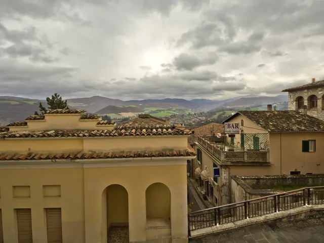 Cascia, ItalyUmbria · Perugia
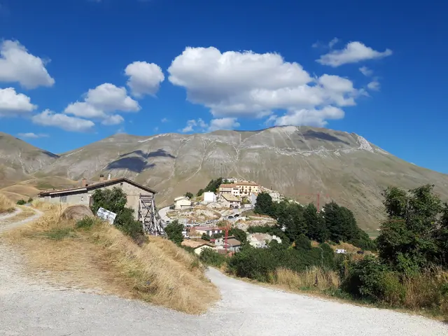 Castelluccio di NorciaUmbria · Perugia
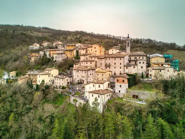 PreciUmbria · Perugia
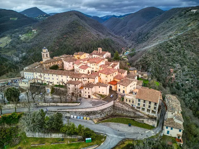 SellanoUmbria · Perugia
No results with these filters.