


Sibillini Mountains Trails: CAI and Park Numbered Paths
The numbered Sibillini Mountains trails are the network of marked routes of the Sibillini National Park (Monti Sibillini), between the Marche and Umbria. They include many kilometers of trails marked, numbered and maintained by the CAI (Italian Alpine Club) and the Park authority. They range from walks for families with children to high-altitude routes that require proper equipment and good physical fitness.
The routes can be recognized by their code. The Percorsi Escursionistici (hiking routes) carry the letter "E" (from E1 to E17). The Sentieri Natura (nature trails), with the letter "N", are 18 low-difficulty routes starting from the historic center of the villages or nearby. On top of these come the stages of the Sentiero Italia CAI and the Grande Anello dei Sibillini.
The trails
194 results
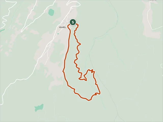 Anello Abetito HikeMontegallo · Difficulty E · 5.0 km · +324 m · 2:20 h
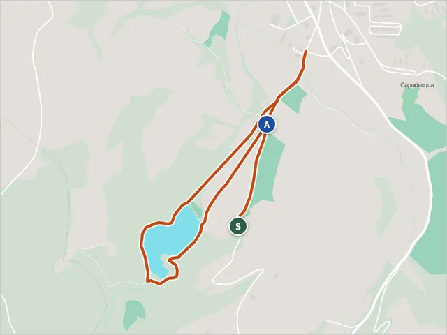 Lago di Boccafornace LoopHiking trail · Valfornace
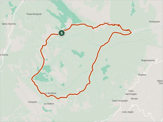 Anello di Montagna GrandeSellano · Difficulty E · 12.2 km · +726 m · 5:25 h
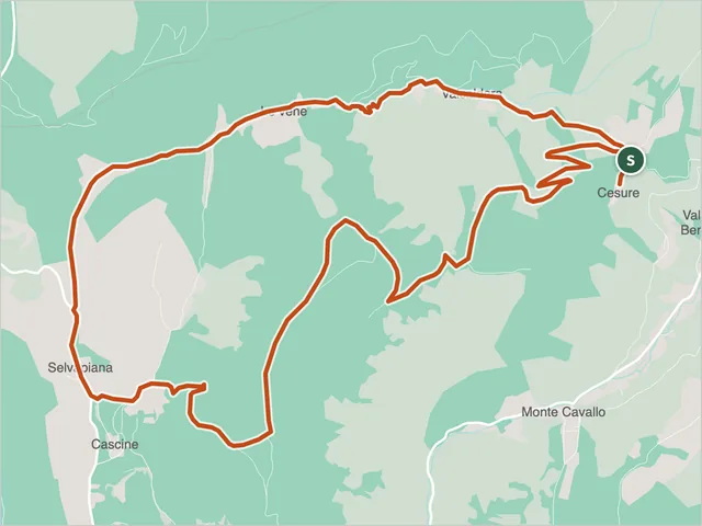 Monte Fietone - Valcaldara LoopHiking trail · Monte Cavallo
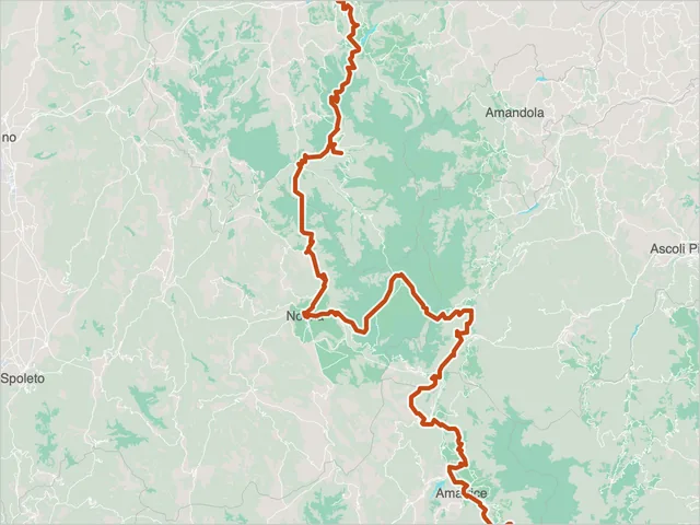 Cammino nelle Terre MutateArquata del Tronto · Difficulty NON INDICATA · 246.3 km · +9,619 m · 86:50 h
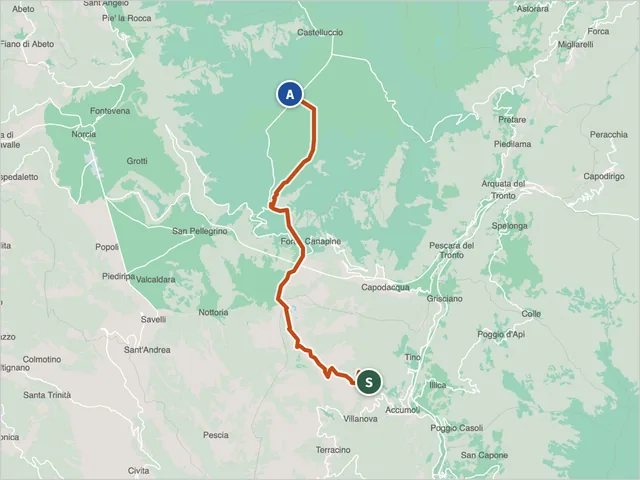 Cammino nelle Terre Mutate VariantArquata del Tronto · Difficulty NON INDICATA · 18.4 km · +675 m · 6:10 h
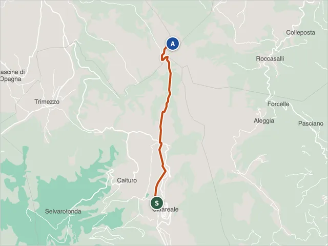 Cupello to Monte Pozzoni Trail (CAI 473)Norcia · Difficulty E · 5.1 km · +908 m · 3:40 h
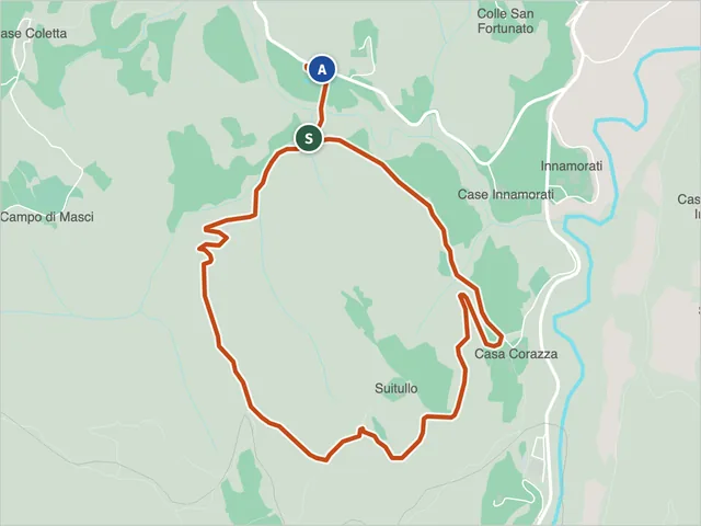 Fuoriporta Itinerary 1 - Moscosa, AmandolaAmandola · Difficulty T · 4.1 km · +197 m · 1:35 h
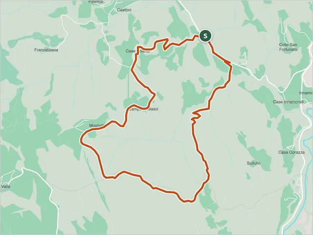 Fuoriporta Itinerary 2 - Moglietta, AmandolaAmandola · Difficulty E · 6.6 km · +314 m · 2:30 h
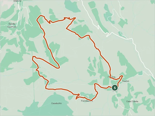 Fuoriporta Itinerary 3 - Beato Antonio, AmandolaAmandola · Difficulty E · 8.3 km · +404 m · 3:10 h
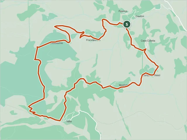 Fuoriporta Itinerary 4 - Capovalle, AmandolaAmandola · Difficulty E · 8.6 km · +436 m · 3:25 h
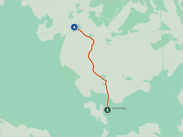 Fuoriporta Itinerary 5 - Valle Caprina, AmandolaAmandola · Difficulty T · 1.8 km · +17 m · 0:35 h
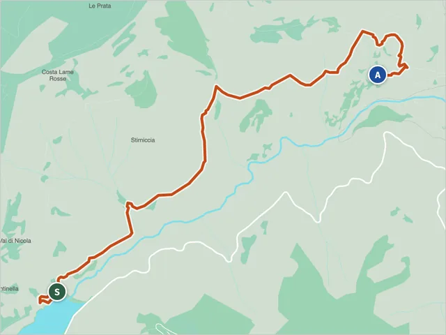 Lame Rosse Trail (CAI 335)Difficulty E · 4.8 km · +385 m · 2:35 h
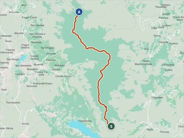 Monti della Laga Ridge Trail Between Lazio, Marche and AbruzzoDifficulty E · 23.1 km · +2,140 m · 13:30 h
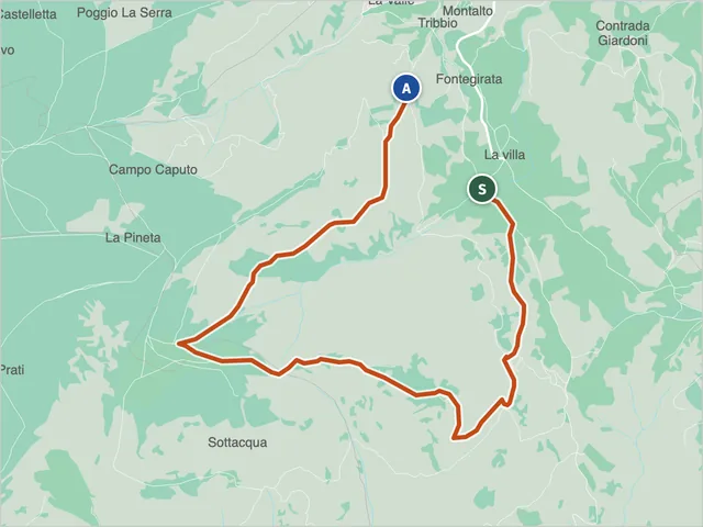 Montalto di Cessapalombo - La Villa Trail (CAI 343)Cessapalombo · Difficulty E · 6.7 km · +594 m · 3:40 h
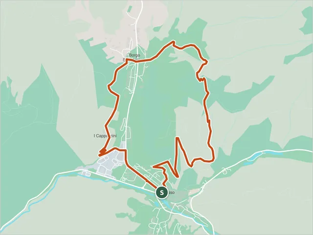 Sibillini Nature Trail N1 (Percorso Natura N1), VissoHiking trail · Visso
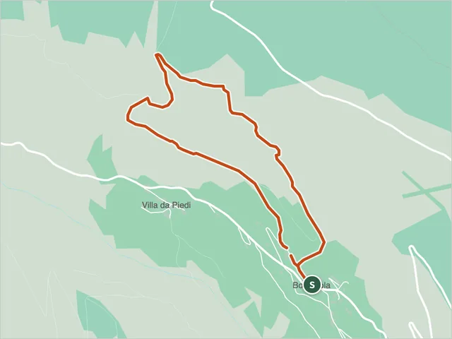 Sibillini Nature Trail N14 (Percorso Natura N14), BolognolaBolognola · Difficulty NON INDICATA · 3.4 km · +252 m · 1:45 h
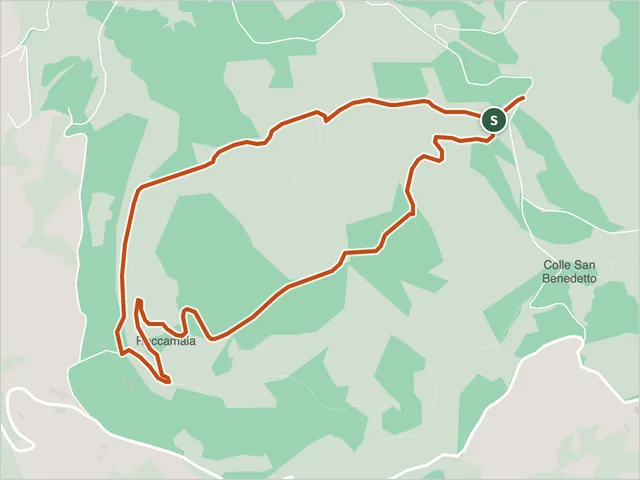 Sibillini Nature Trail N2 (Percorso Natura N2), ValfornaceValfornace · Difficulty NON INDICATA · 4.6 km · +213 m · 1:45 h
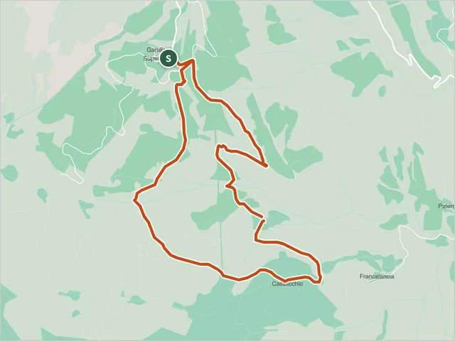 Sibillini Nature Trail N4 (Percorso Natura N4), AmandolaAmandola · Difficulty T · 5.8 km · +229 m · 2:05 h
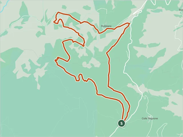 Sibillini Nature Trail N5 (Percorso Natura N5), MontefortinoHiking trail · Montefortino
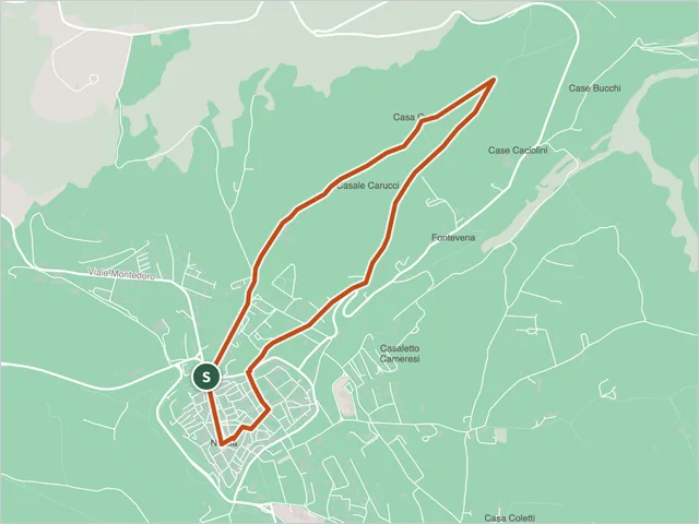 Sibillini Nature Trail N9 (Percorso Natura N9), NorciaHiking trail · Norcia
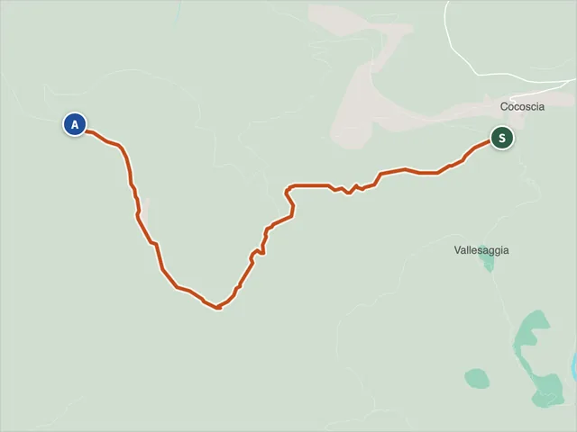 Pizzo dell'Arco Cocoscia trailDifficulty E · 2.6 km · +348 m · 1:40 h
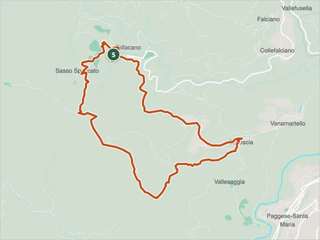 Pizzo dell'Arco hike from TallacanoAcquasanta Terme · Difficulty E · 8.9 km · +650 m · 4:35 h
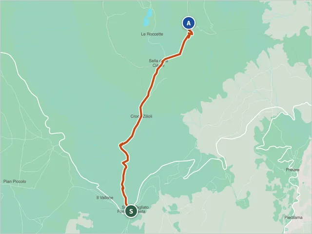 Sibillini trail 101Difficulty E · 5.0 km · +938 m · 3:45 h
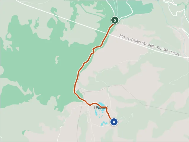 Sibillini trail 102Difficulty NON INDICATA · 3.4 km · +103 m · 1:05 h
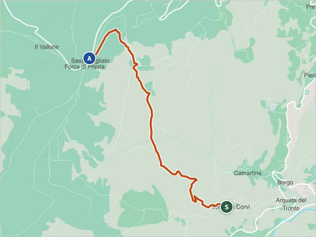 Sibillini trail 103 (Arquata del Tronto)Difficulty E · 4.5 km · +649 m · 2:50 h
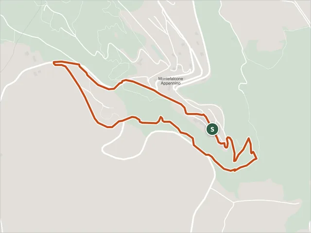 Trail 103 (Montefalcone Appennino)Difficulty T · 3.0 km · +229 m · 1:35 h
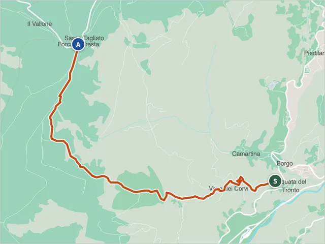 Sibillini trail 104Difficulty E · 5.6 km · +804 m · 3:25 h
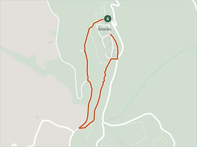 Trail 104 (Smerillo)Difficulty T · 1.4 km · +89 m · 0:40 h
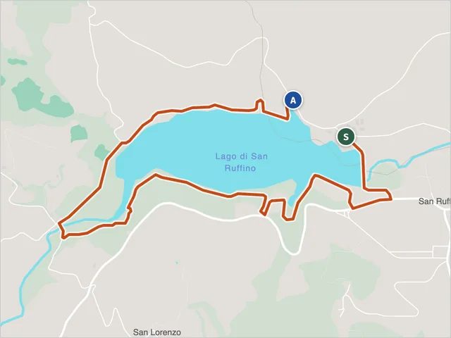 Trail 112, Monte San MartinoDifficulty T · 4.5 km · +100 m · 1:25 h
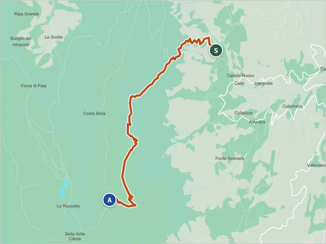 Sibillini trail 131Difficulty EE · 6.5 km · +1,286 m · 5:05 h
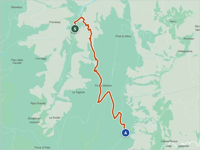 Trail 132, MontemonacoDifficulty EE · 6.7 km · +870 m · 4:20 h
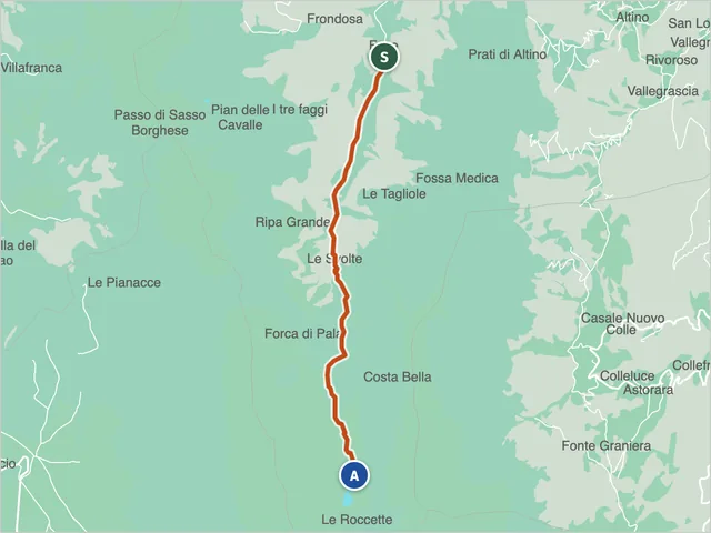 Trail 151 (Montemonaco)Difficulty E · 6.0 km · +1,002 m · 4:05 h
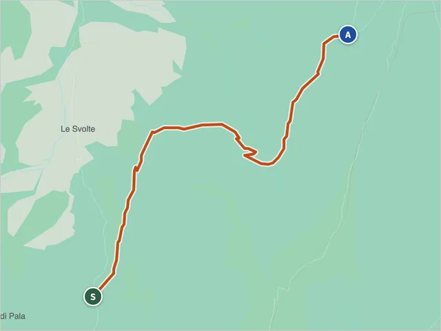 Trail 152, MontemonacoDifficulty EE · 2.6 km · +273 m · 1:20 h
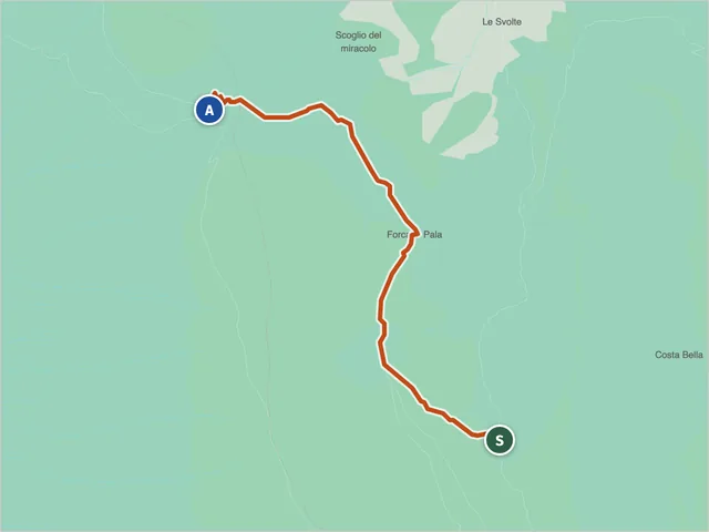 Sibillini trail 153Difficulty E · 2.8 km · +226 m · 1:15 h
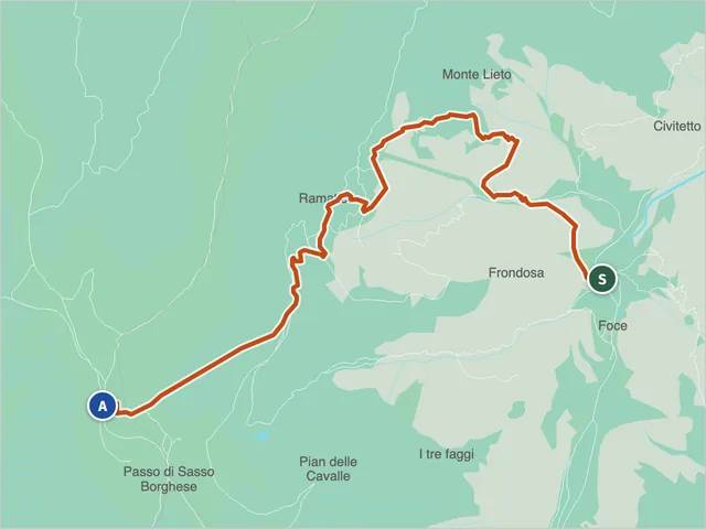 Montemonaco Trail 154Difficulty E · 6.2 km · +1,160 m · 4:40 h
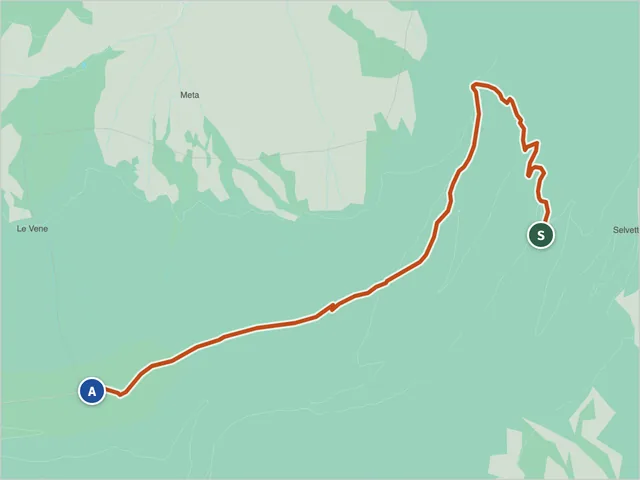 Trail 155, MontemonacoDifficulty EE · 4.0 km · +612 m · 2:35 h
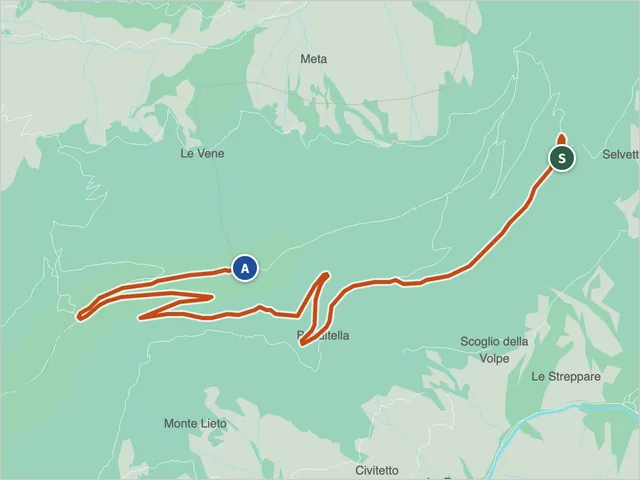 Montemonaco Trail 156Difficulty EE · 7.5 km · +612 m · 3:00 h
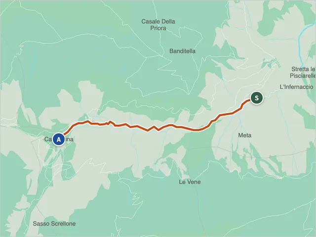 Trail 221, MontefortinoDifficulty NON INDICATA · 3.2 km · +355 m · 1:55 h
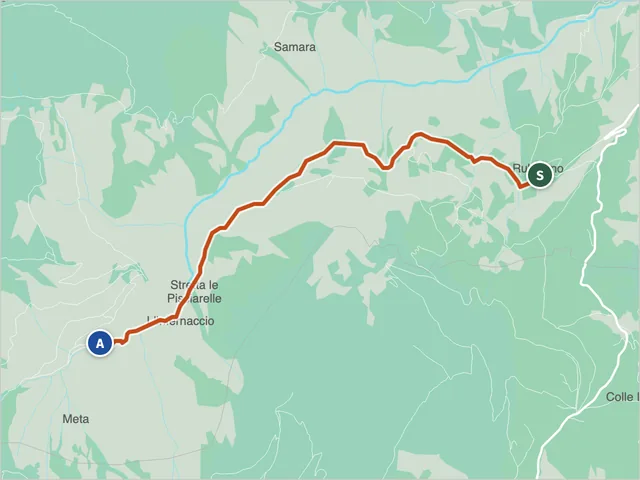 Sibillini trail 221Difficulty NON INDICATA · 4.2 km · +276 m · 1:40 h
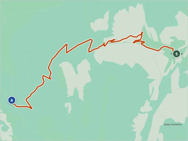 Sibillini trail 222Difficulty T · 5.4 km · +737 m · 3:10 h
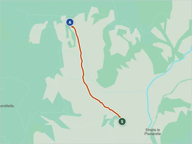 Trail 223, MontefortinoDifficulty E · 1.4 km · +153 m · 0:50 h
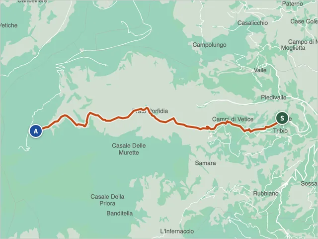 Sibillini trail 224Difficulty E · 8.7 km · +890 m · 4:30 h
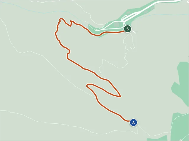 Trail 225, MontefortinoDifficulty E · 1.8 km · +266 m · 1:05 h
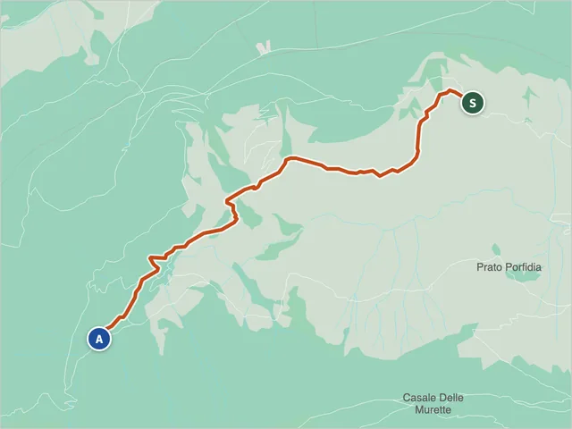 Trail 226 from Fonte del Faggio to the N227-N224 junctionDifficulty E · 4.4 km · +296 m · 2:00 h
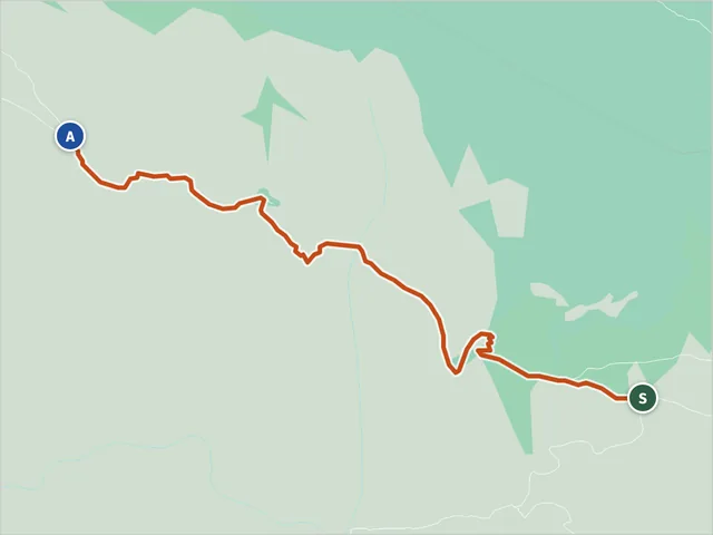 Trail 226, Montefortino (SIB-02997)Difficulty NON INDICATA · 1.9 km · +336 m · 1:20 h
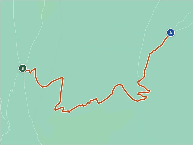 Trail 227, MontefortinoDifficulty E · 2.7 km · +0 m · 1:25 h
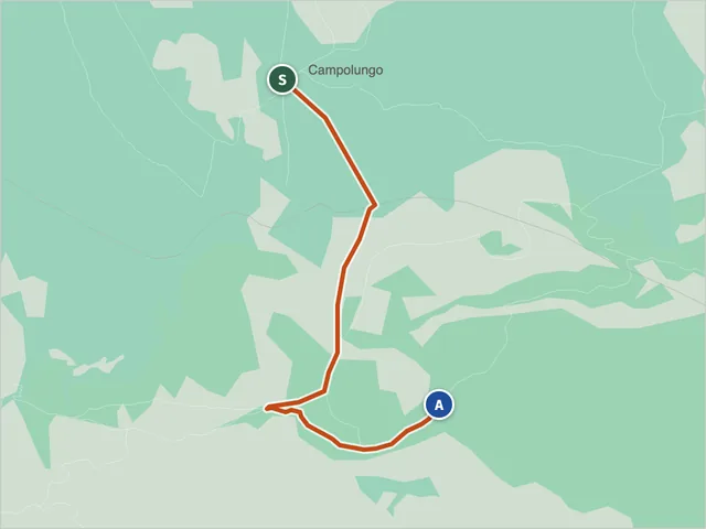 Trail 228, AmandolaDifficulty E · 2.0 km · +7 m · 0:45 h
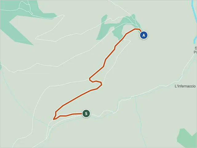 Trail 229 (Montefortino)Difficulty E · 1.1 km · +161 m · 0:40 h
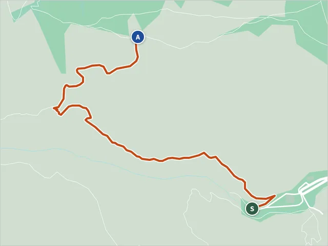 Trail 230, MontefortinoDifficulty E · 1.6 km · +279 m · 1:10 h
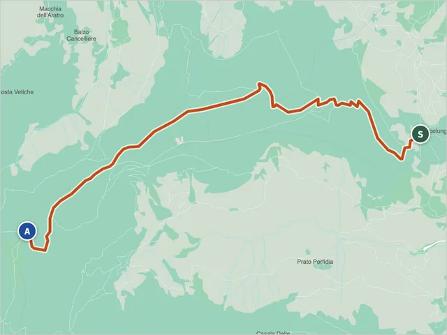 Trail 241 (Amandola)Difficulty E · 8.3 km · +1,019 m · 4:55 h
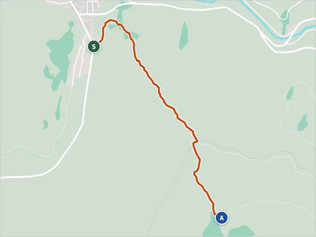 Trail 241 (Camerino)Difficulty E · 1.4 km · +618 m · 2:15 h
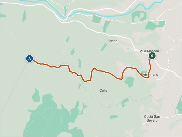 Pioraco Trail 241ADifficulty E · 2.3 km · +442 m · 1:50 h
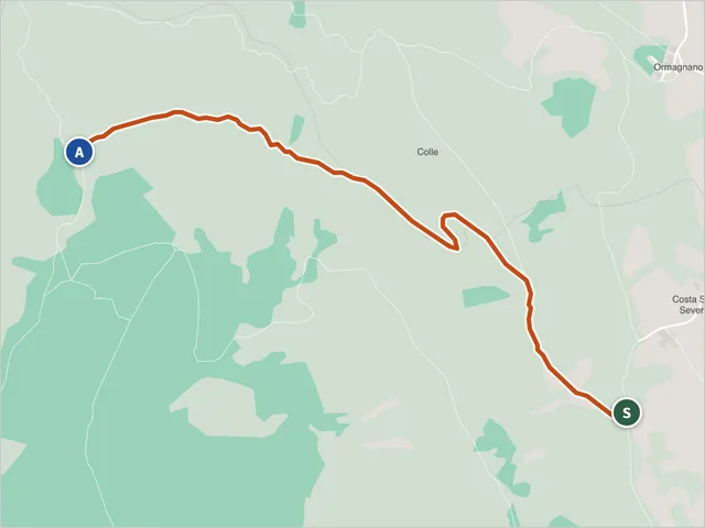 Trail 241B, CamerinoDifficulty E · 1.7 km · +418 m · 1:35 h
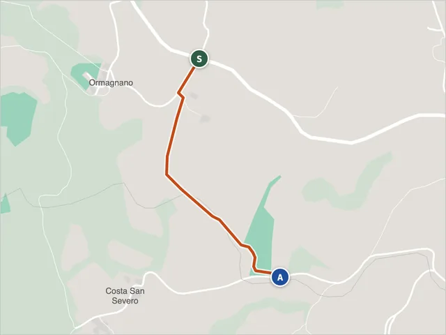 Trail 241C, PioracoDifficulty E · 0.7 km · +71 m · 0:20 h
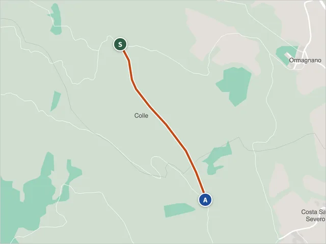 Trail 241E above PioracoDifficulty E · 0.6 km · +64 m · 0:20 h
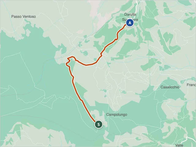 Sibillini trail 242 (Amandola)Difficulty E · 3.9 km · +191 m · 2:15 h
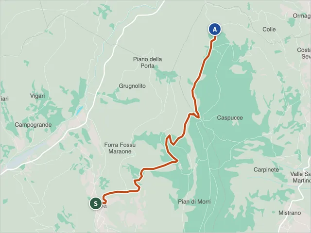 Trail 242 (Camerino)Difficulty E · 4.4 km · +626 m · 2:50 h
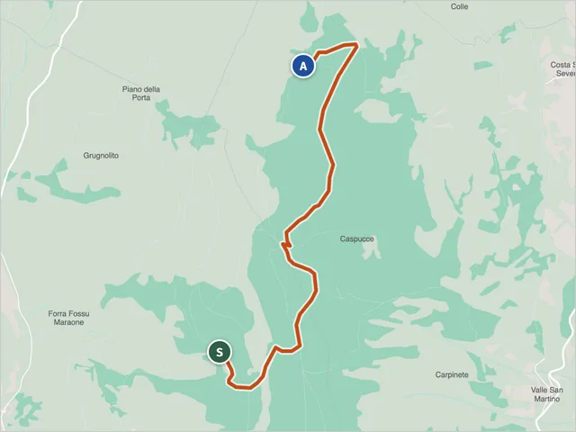 Trail 242A from SefroDifficulty E · 3.1 km · +398 m · 2:00 h
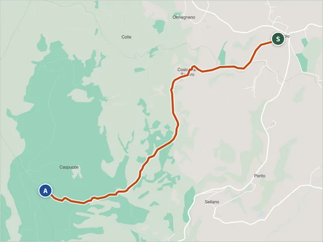 Pioraco Trail 242EDifficulty E · 3.5 km · +565 m · 2:20 h
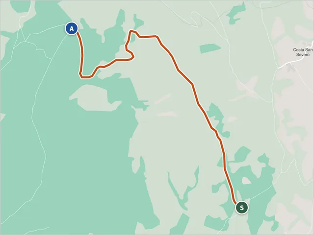 Trail 242G, CamerinoDifficulty E · 1.9 km · +433 m · 1:40 h
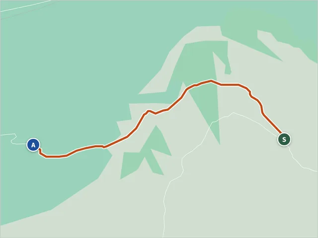 Trail 243Difficulty NON INDICATA · 1.1 km · +164 m · 0:40 h
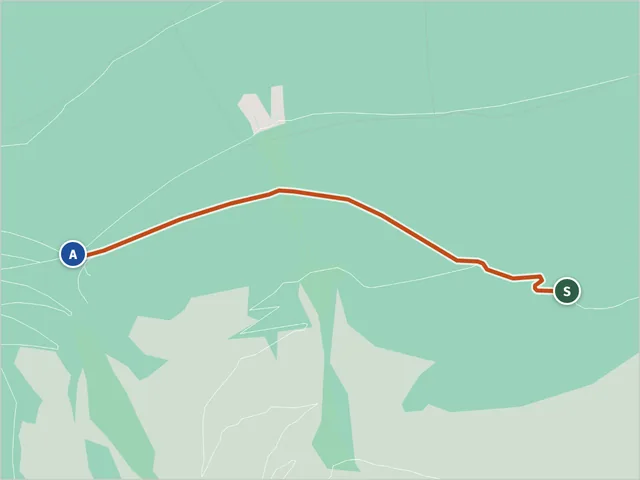 Trail 243, MontefortinoDifficulty T · 1.4 km · +153 m · 0:40 h
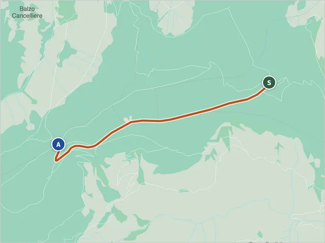 Trail 244, AmandolaDifficulty E · 3.5 km · +79 m · 1:05 h
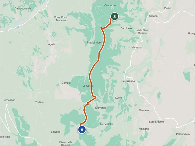 Trail 250, Camerino–Sefro ridgeDifficulty E · 4.6 km · +285 m · 2:05 h
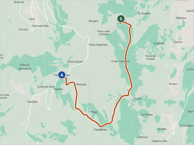 Trail 251 (Camerino)Difficulty E · 7.2 km · +411 m · 3:00 h
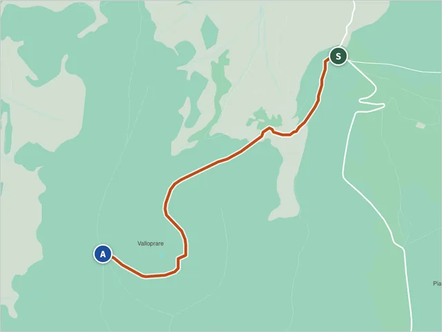 Trail 251 (Castelsantangelo sul Nera)Difficulty E · 3.0 km · +352 m · 1:35 h
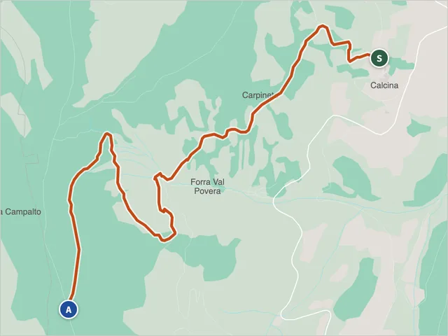 Trail 251F, CamerinoDifficulty E · 3.8 km · +531 m · 2:15 h
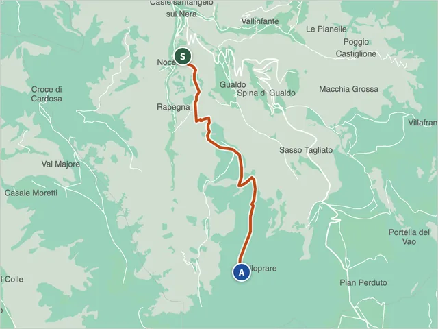 Trail 252, Castelsantangelo sul NeraDifficulty E · 6.1 km · +1,067 m · 4:20 h
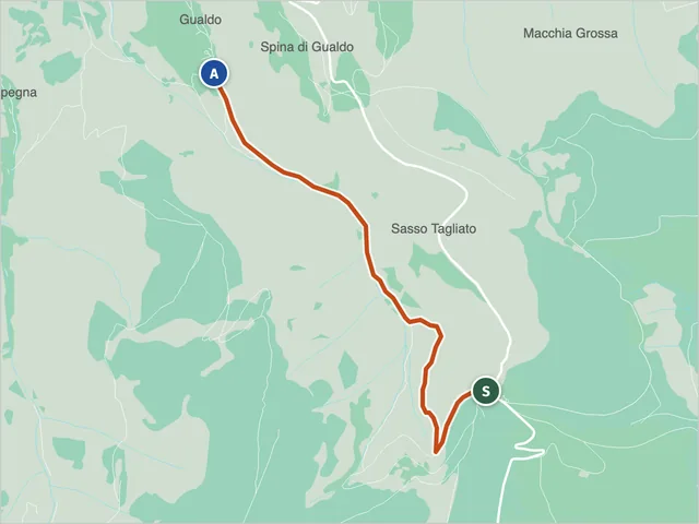 Sibillini trail 253Difficulty E · 3.8 km · +10 m · 1:30 h
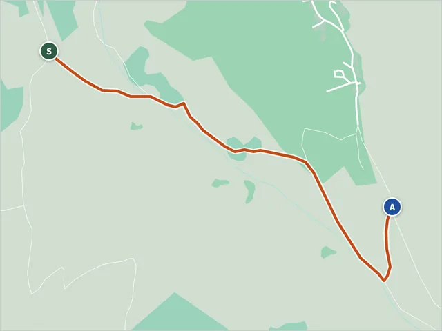 Trail 254 (Castelsantangelo sul Nera)Difficulty E · 1.3 km · +140 m · 0:45 h
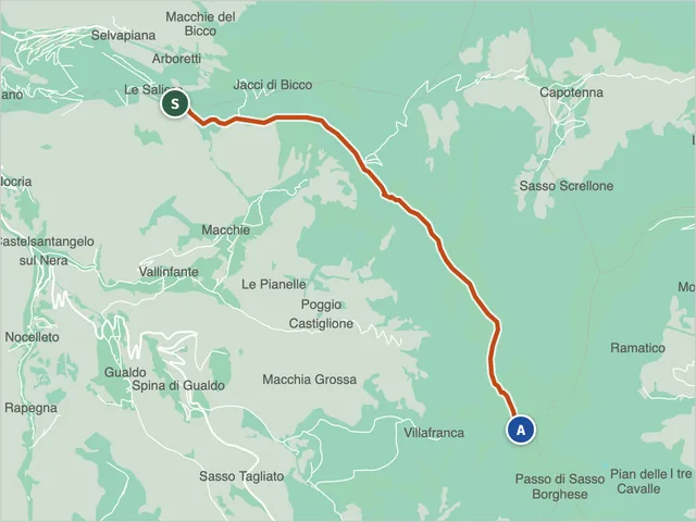 Sibillini trail 257Difficulty E · 7.4 km · +559 m · 3:00 h
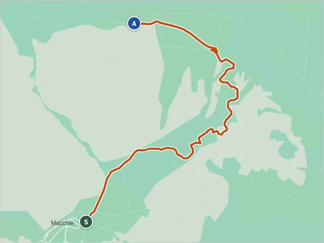 Trail 259, Castelsantangelo sul NeraDifficulty E · 3.1 km · +694 m · 2:40 h
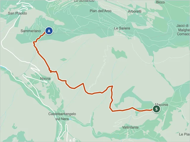 Trail 260, Castelsantangelo sul NeraDifficulty E · 5.2 km · +449 m · 2:35 h
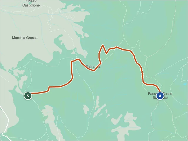 Trail 261, Castelsantangelo sul NeraDifficulty E · 5.3 km · +461 m · 2:20 h
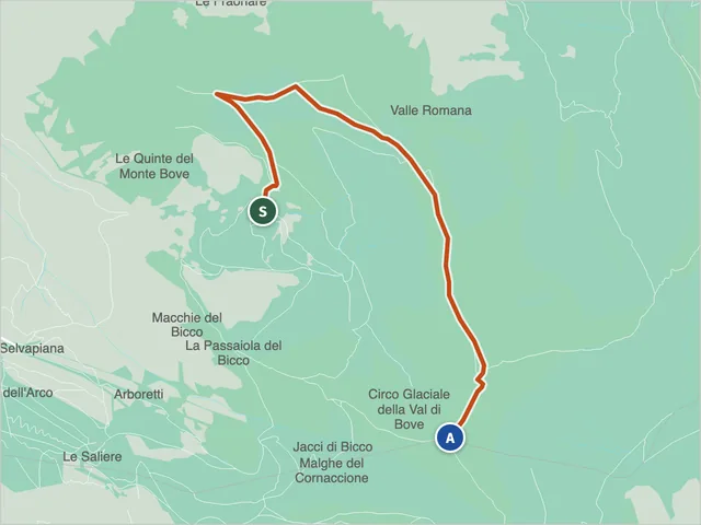 Ussita Trail 270Difficulty E · 4.3 km · +573 m · 2:30 h
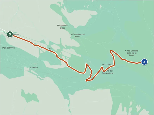 Ussita Trail 271Difficulty E · 4.4 km · +819 m · 3:15 h
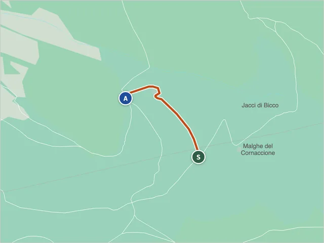 Trail 271B, Castelsantangelo sul NeraDifficulty T · 0.4 km · +0 m · 0:10 h
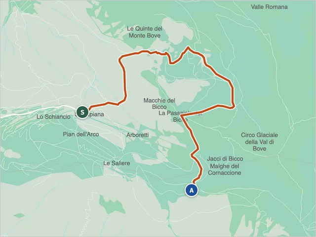 Ussita Trail 272Difficulty E · 5.8 km · +557 m · 2:50 h
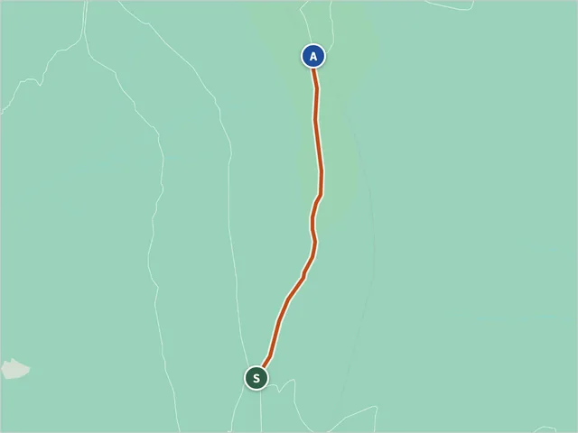 Trail 273 (Ussita)Difficulty E · 0.9 km · +169 m · 0:40 h
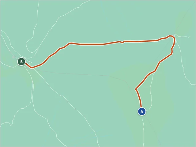 Sibillini trail 274Difficulty E · 1.5 km · +278 m · 1:05 h
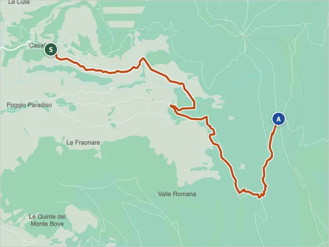 Trail 275, UssitaDifficulty EE · 6.5 km · +840 m · 3:40 h
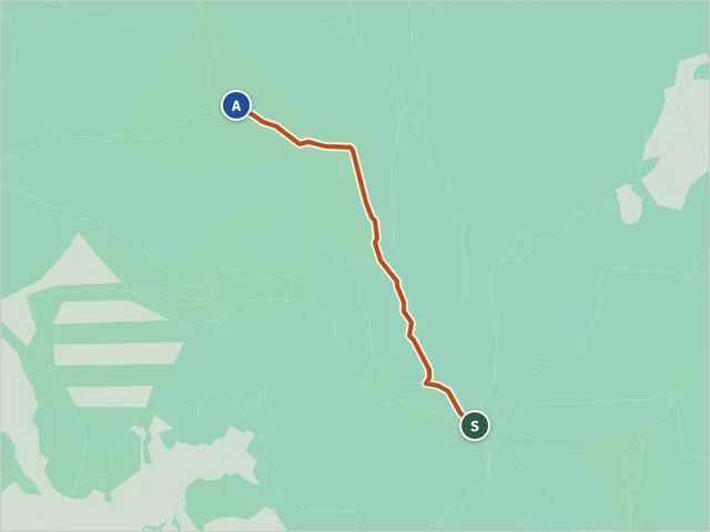 Trail 276, BolognolaDifficulty E · 2.0 km · +314 m · 1:20 h
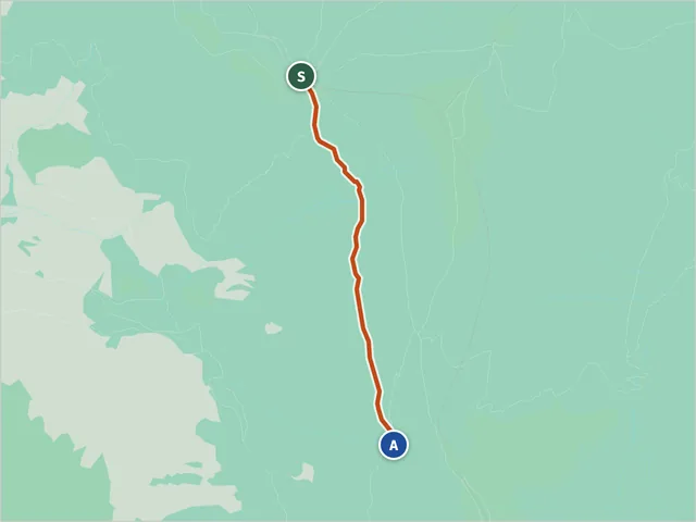 Trail 277, BolognolaDifficulty E · 1.8 km · +42 m · 0:35 h
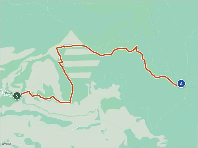 Ussita Trail 278Difficulty EE · 4.7 km · +757 m · 3:10 h
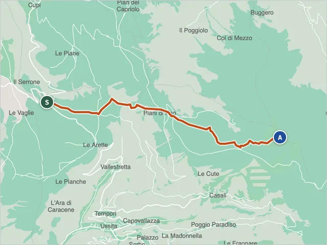 Sibillini trail 279Difficulty E · 7.7 km · +1,162 m · 5:00 h
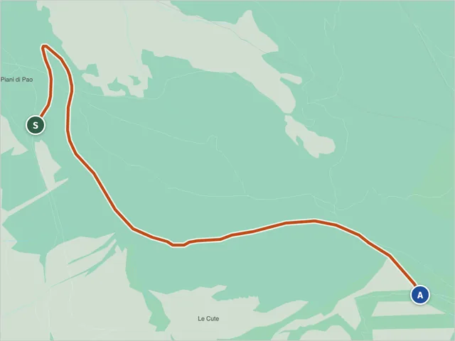 Trail 280, UssitaDifficulty E · 4.3 km · +193 m · 1:30 h
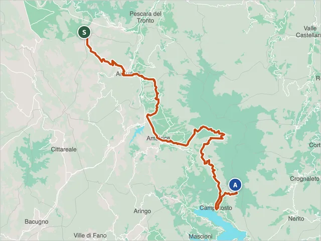 Trail 300 (Norcia)Difficulty EE · 54.3 km · +2,757 m · 20:50 h
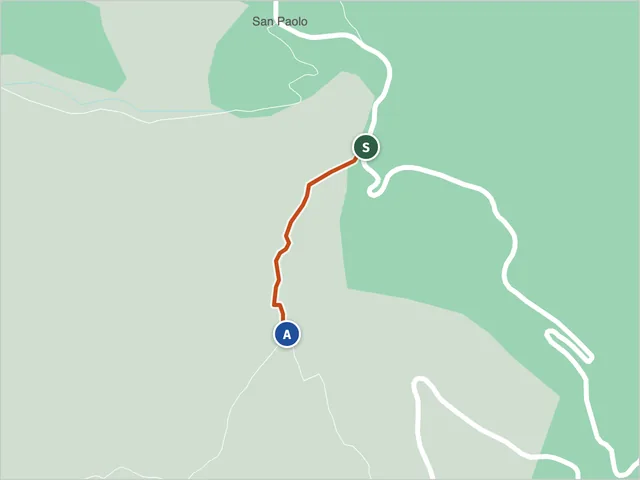 Trail 300a, Acquasanta TermeDifficulty NON INDICATA · 0.4 km · +17 m · 0:10 h
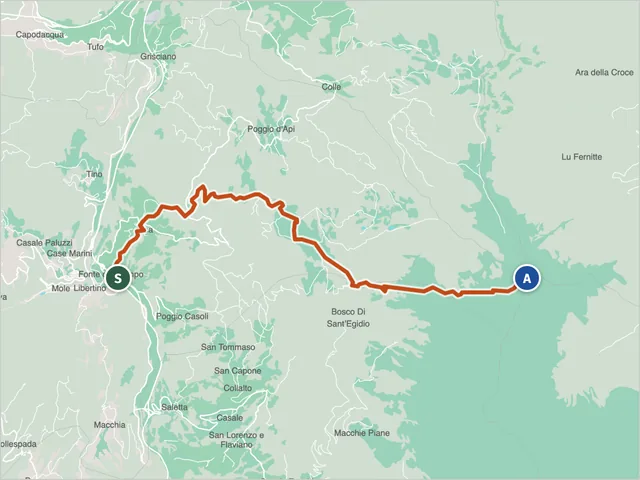 Accumoli Trail 300BDifficulty E · 12.3 km · +1,342 m · 6:10 h
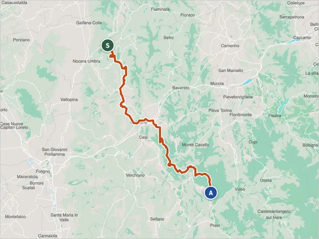 Trail 302 over Monte CavalloDifficulty E · 46.2 km · +1,819 m · 16:35 h
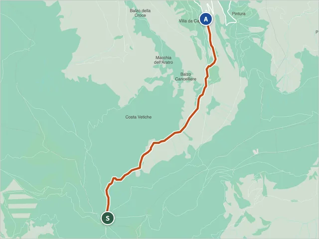 Trail 311, BolognolaDifficulty E · 5.3 km · +33 m · 2:10 h
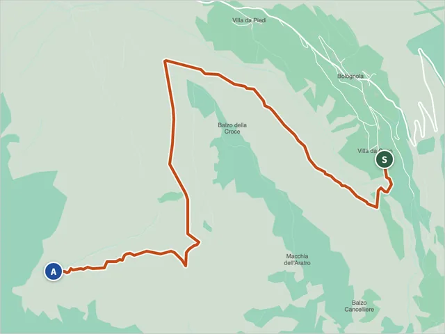 Trail 312, BolognolaDifficulty E · 5.1 km · +267 m · 1:55 h
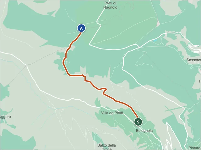 Sibillini trail 314Difficulty E · 3.5 km · +413 m · 1:50 h
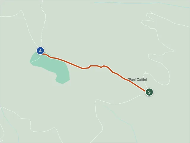 Trail 317 (Acquasanta Terme)Difficulty T · 0.7 km · +158 m · 0:35 h
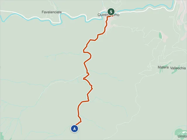 Trail 320, Acquasanta TermeDifficulty E · 4.1 km · +439 m · 2:00 h
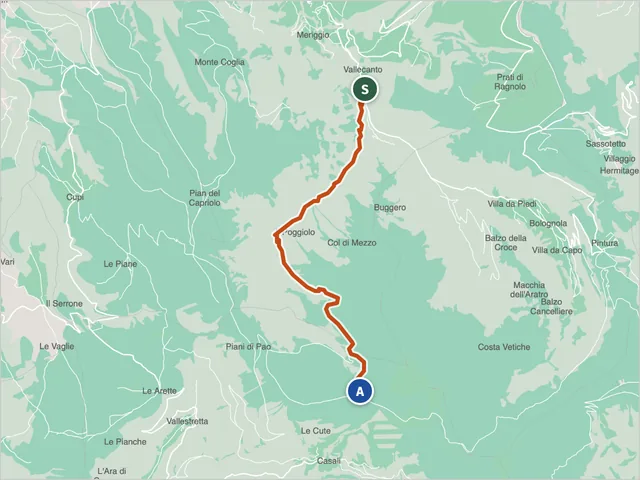 Trail 321, FiastraDifficulty E · 8.7 km · +1,178 m · 5:20 h
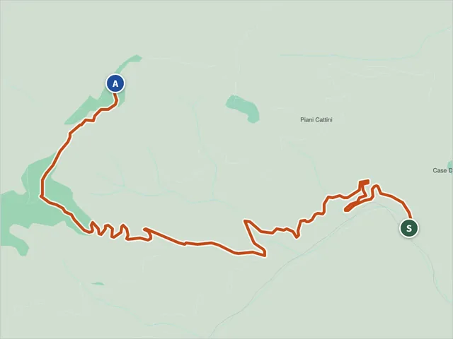 Trail 323, Acquasanta TermeDifficulty E · 5.9 km · +724 m · 3:25 h
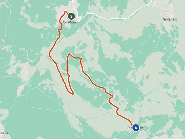 Trail 331 (Monte Cavallo)Difficulty E · 6.5 km · +494 m · 2:45 h
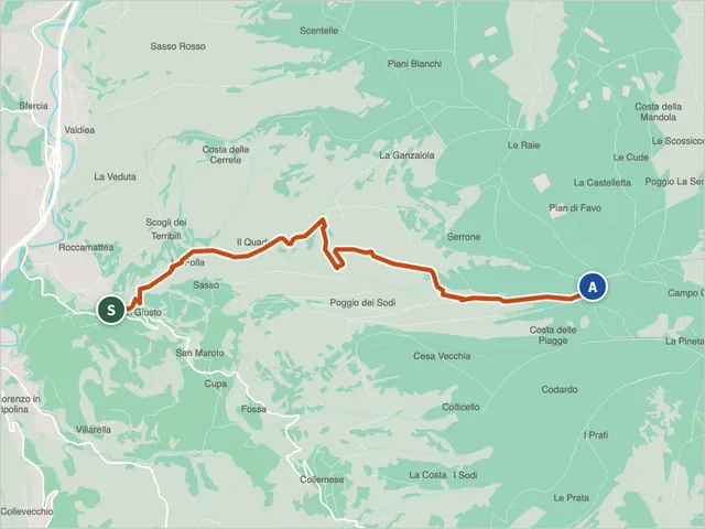 Trail 331 (Valfornace)Difficulty T · 5.7 km · +814 m · 3:40 h
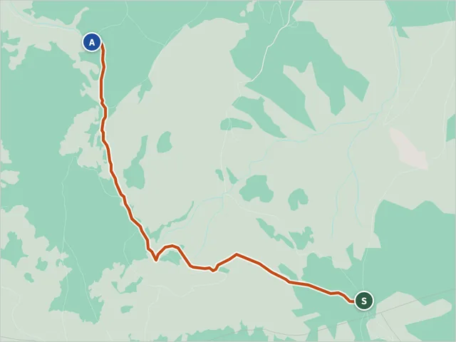 Trail 332 (Monte Cavallo)Difficulty E · 2.4 km · +153 m · 1:00 h
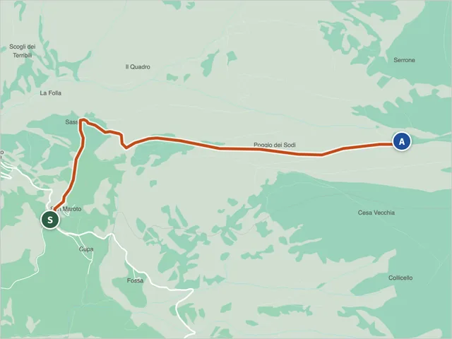 Trail 332 (Valfornace)Difficulty T · 3.1 km · +357 m · 1:35 h
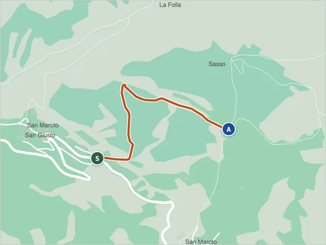 Trail 332B (Valfornace)Difficulty T · 0.8 km · +121 m · 0:30 h
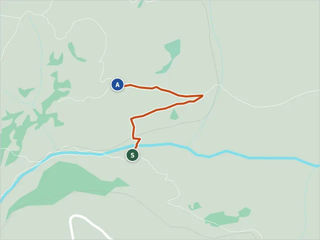 Trail 336, CessapalomboDifficulty E · 0.7 km · +130 m · 0:30 h
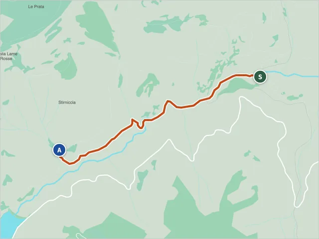 Trail 342, CessapalomboDifficulty EE · 2.6 km · +254 m · 1:25 h
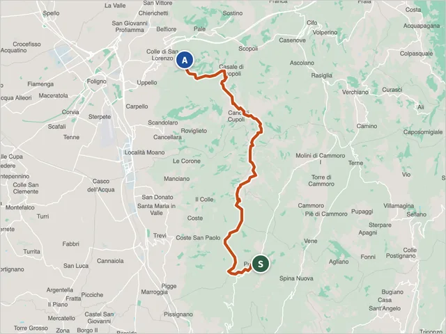 Sibillini trail 370Difficulty E · 21.6 km · +780 m · 7:50 h
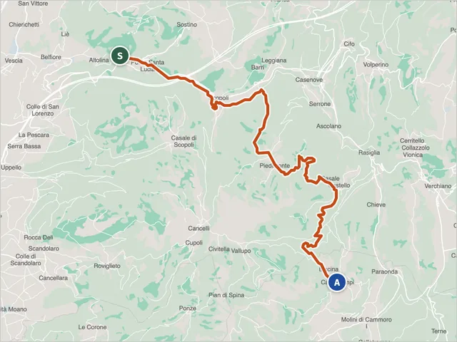 Sibillini trail 380Difficulty E · 16.5 km · +777 m · 5:45 h
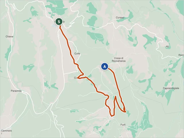 Sibillini trail 381DDifficulty E · 8.0 km · +413 m · 2:50 h
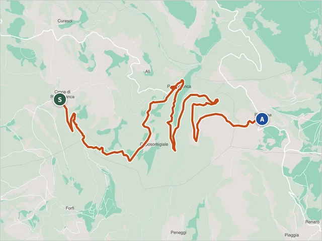 Sibillini trail 387Difficulty E · 12.2 km · +471 m · 4:25 h
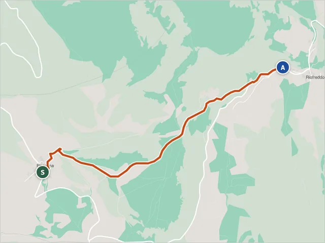 Trail 387A, VissoDifficulty E · 3.1 km · +195 m · 1:20 h
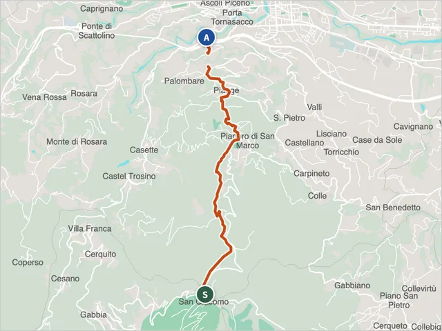 Trail 401Difficulty E · 7.0 km · +0 m · 2:35 h
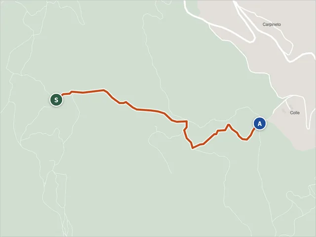 Trail 457, Ascoli PicenoDifficulty E · 1.3 km · +4 m · 0:30 h
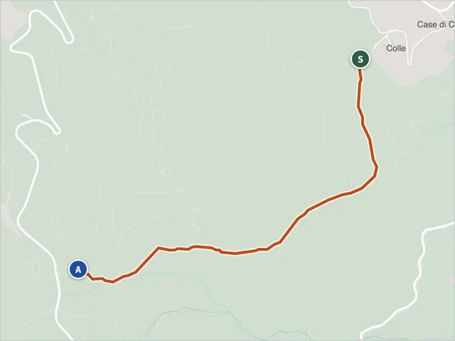 Trail 458, Ascoli PicenoDifficulty E · 2.3 km · +248 m · 1:05 h
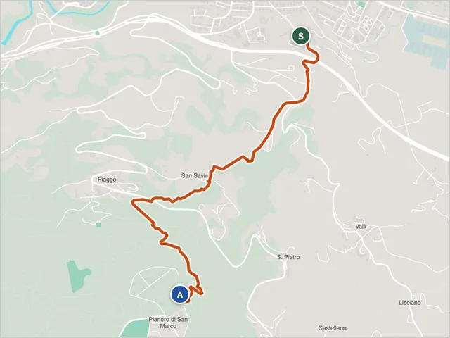 Trail 470, Ascoli Piceno (via Spalvieri) – Colle San MarcoDifficulty E · 3.6 km · +525 m · 2:15 h
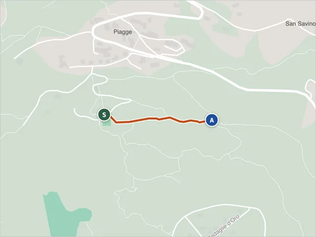 Trail 470A (Ascoli Piceno)Difficulty E · 0.4 km · +14 m · 0:10 h
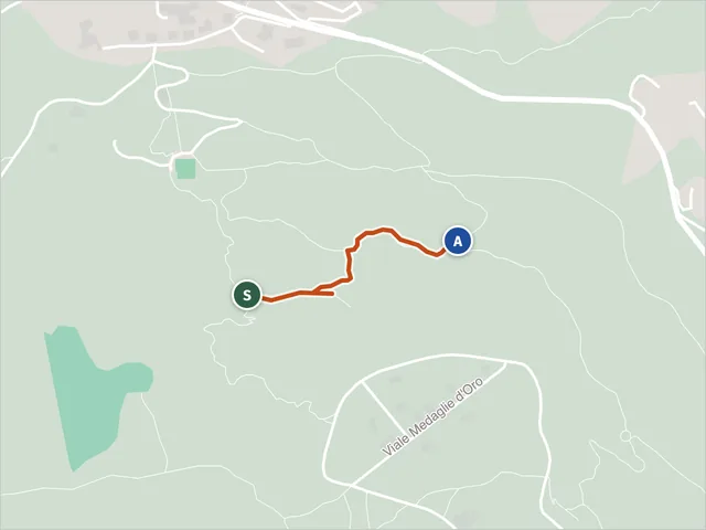 Trail 471, Ascoli PicenoDifficulty E · 0.5 km · +20 m · 0:15 h
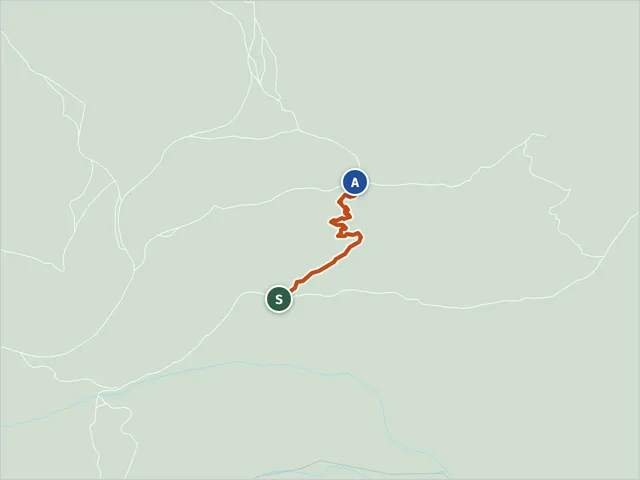 Trail 473, Ascoli PicenoDifficulty E · 0.5 km · +90 m · 0:20 h
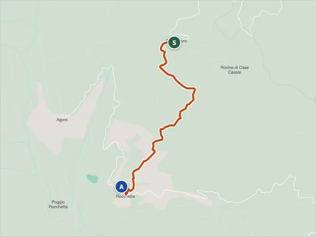 Trail 501 (Acquasanta Terme)Difficulty NON INDICATA · 2.5 km · +152 m · 1:05 h
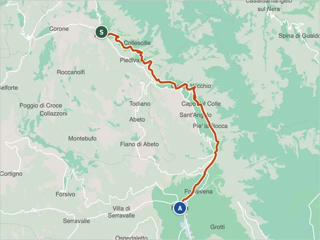 Sibillini trail 501 (Norcia)Difficulty E · 17.9 km · +888 m · 6:50 h
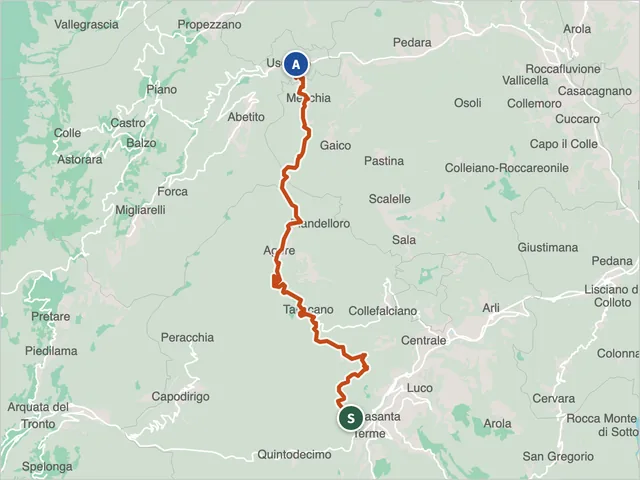 Trail 502 (Acquasanta Terme)Difficulty E · 17.2 km · +1,100 m · 8:00 h
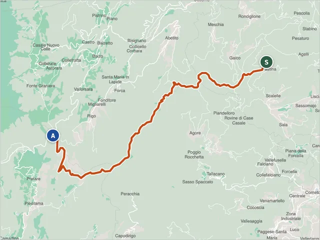 Roccafluvione Trail 503Difficulty E · 15.0 km · +964 m · 6:15 h
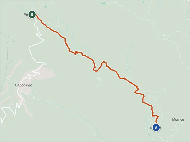 Trail 511 (Acquasanta Terme)Difficulty E · 5.6 km · +55 m · 1:55 h
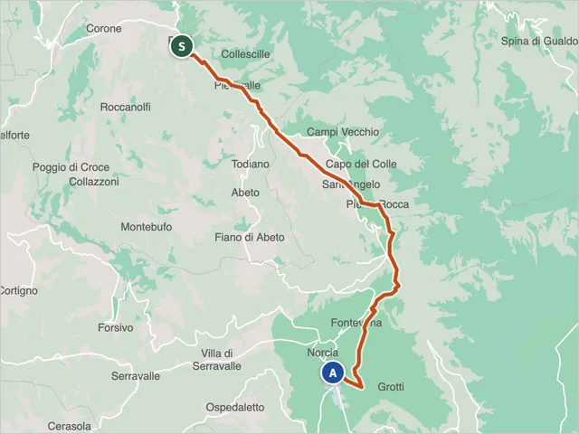 Trail 511 (Norcia)Difficulty T · 16.5 km · +527 m · 5:35 h
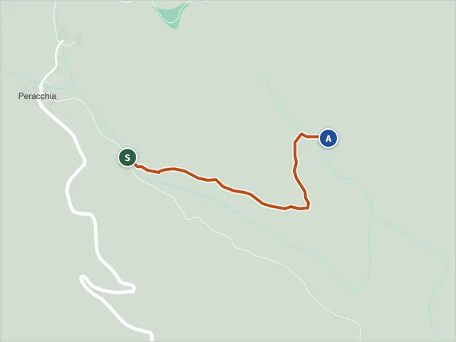 Trail 512 (Acquasanta Terme)Difficulty E · 0.8 km · +22 m · 0:15 h
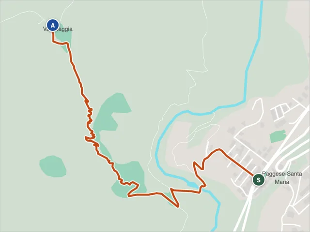 Trail 514, Acquasanta TermeDifficulty E · 1.9 km · +255 m · 1:15 h
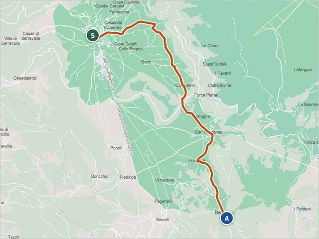 Sibillini trail 515Difficulty T · 12.6 km · +545 m · 4:15 h
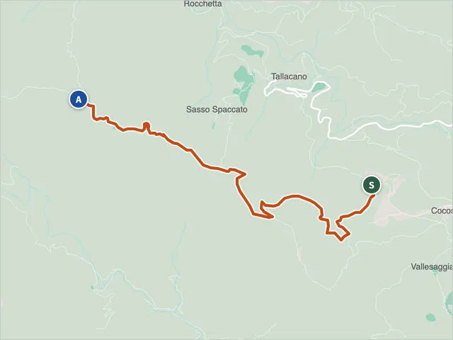 Trail 516, Acquasanta TermeDifficulty E · 5.4 km · +565 m · 2:50 h
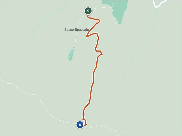 Trail 519, Acquasanta TermeDifficulty E · 1.0 km · +261 m · 1:00 h
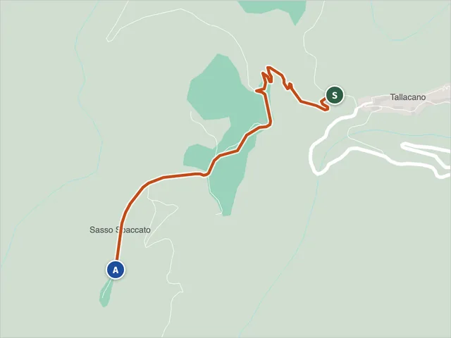 Trail 520 (Acquasanta Terme)Difficulty E · 1.1 km · +163 m · 0:40 h
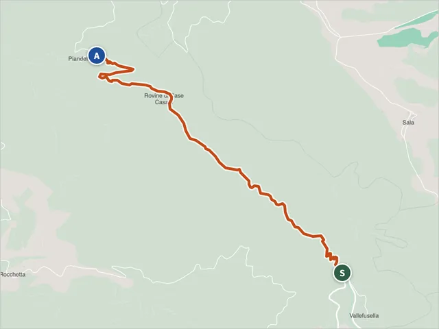 Trail 525, Acquasanta TermeDifficulty NON INDICATA · 3.4 km · +408 m · 1:50 h
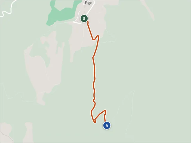 Trail 542, MontegalloDifficulty E · 1.9 km · +242 m · 1:00 h
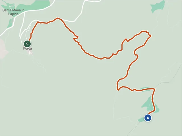 Montegallo Trail 548Difficulty E · 4.2 km · +607 m · 2:35 h
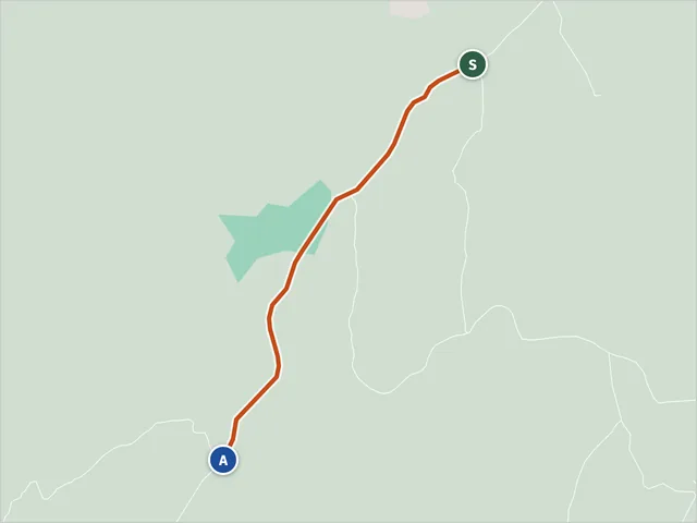 Trail 549 (Montegallo)Difficulty T · 0.8 km · +39 m · 0:15 h
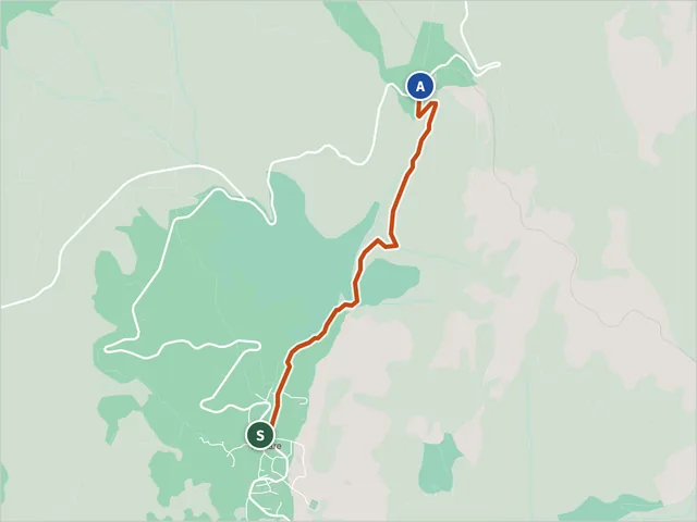 Trail 551 (Arquata del Tronto)Difficulty E · 2.2 km · +243 m · 1:05 h
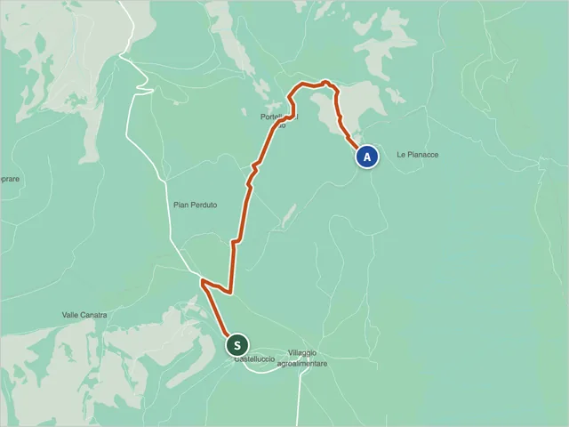 Trail 551 (Norcia)Difficulty E · 5.2 km · +248 m · 1:50 h
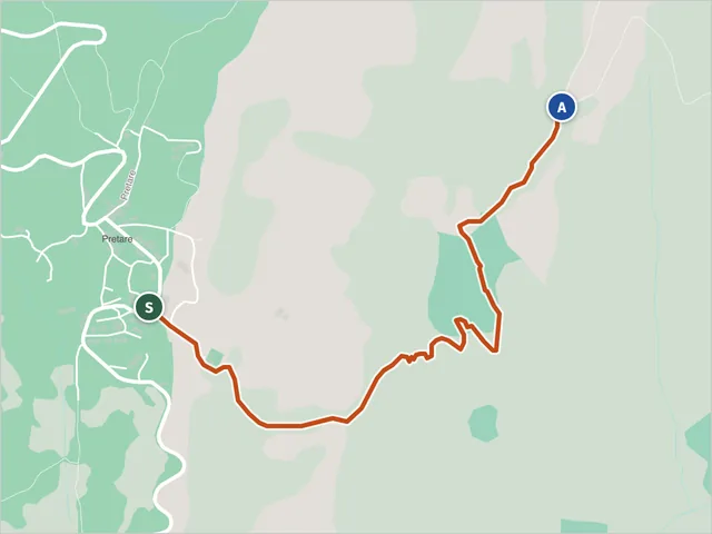 Trail 552, Arquata del TrontoDifficulty E · 1.9 km · +281 m · 1:10 h
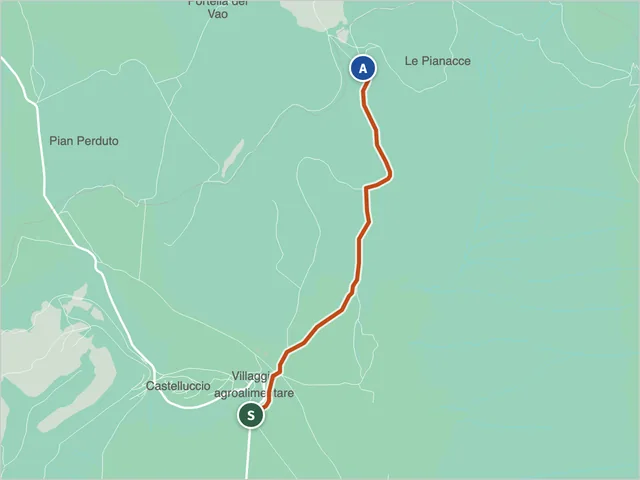 Trail 553 (Norcia)Difficulty NON INDICATA · 3.0 km · +251 m · 1:15 h
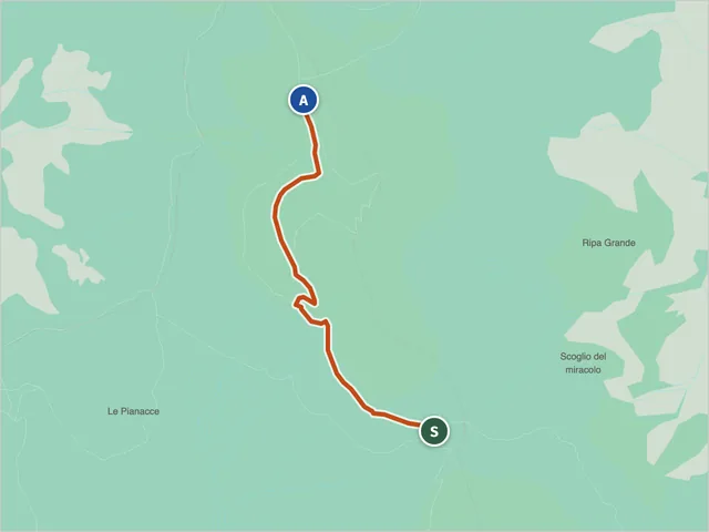 Trail 554, NorciaDifficulty E · 2.1 km · +171 m · 0:55 h
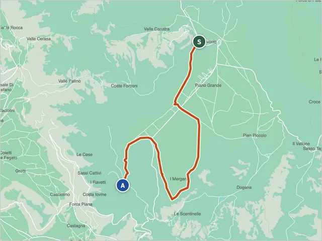 Trail 556, NorciaDifficulty E · 12.9 km · +310 m · 3:55 h
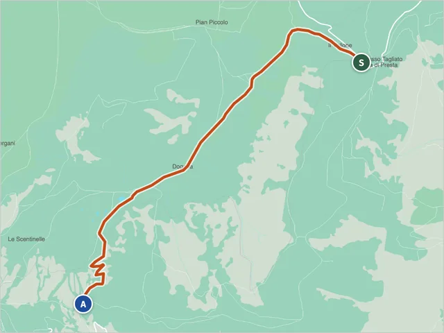 Sibillini trail 557Difficulty E · 6.9 km · +169 m · 2:15 h
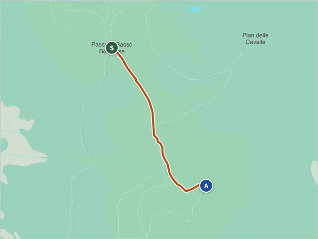 Norcia Trail 558Difficulty E · 1.3 km · +177 m · 0:50 h
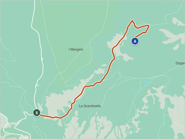 Sibillini trail 559Difficulty E · 4.9 km · +220 m · 1:40 h
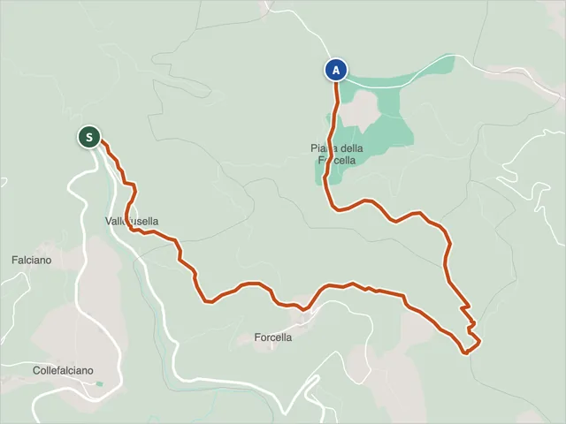 Trail 560 (Acquasanta Terme)Difficulty E · 4.0 km · +306 m · 1:35 h
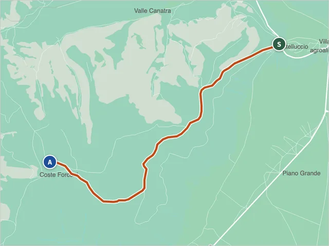 Trail 560 (Norcia)Difficulty E · 4.6 km · +369 m · 1:50 h
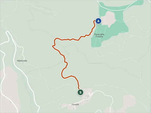 Trail 561, RoccafluvioneDifficulty E · 1.5 km · +191 m · 0:50 h
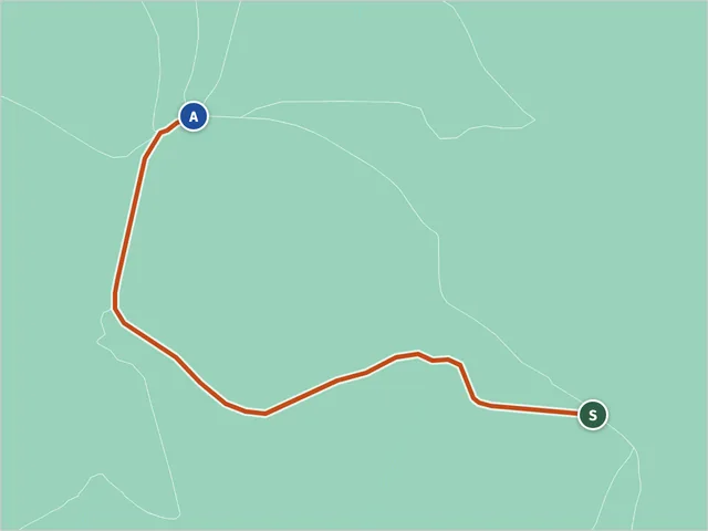 Sibillini trail 571Difficulty E · 1.7 km · +22 m · 0:30 h
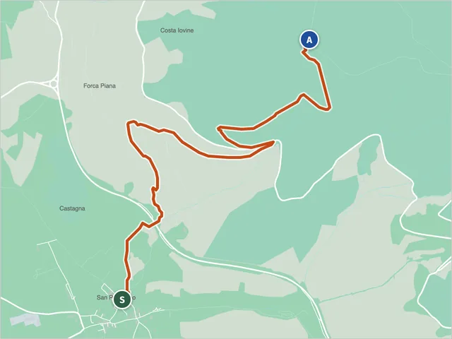 Sibillini trail 572Difficulty E · 4.6 km · +755 m · 3:05 h
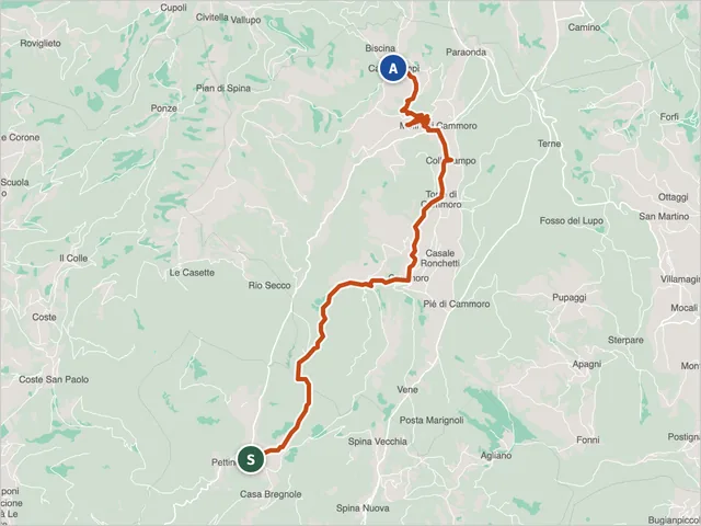 Sibillini trail 580Difficulty E · 12.2 km · +562 m · 4:45 h
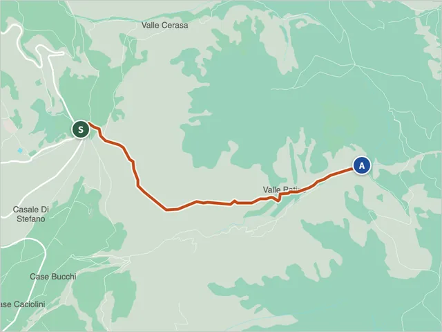 Trail 581, NorciaDifficulty T · 3.5 km · +339 m · 1:35 h
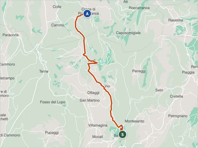 Sibillini trail 581 (Sellano)Difficulty E · 8.1 km · +592 m · 3:20 h
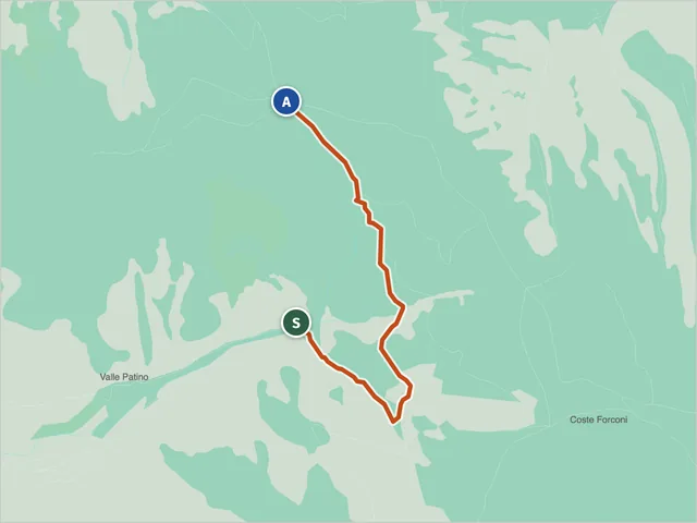 Sibillini trail 581Difficulty NON INDICATA · 2.5 km · +446 m · 1:50 h
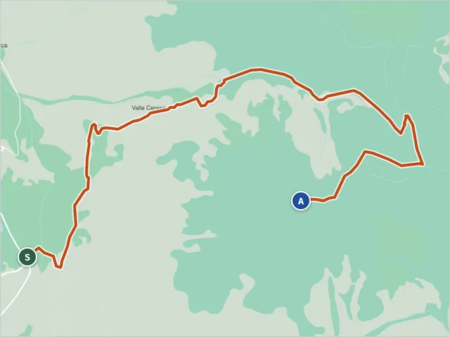 Sibillini trail 582 (Norcia)Difficulty E · 5.6 km · +869 m · 3:35 h
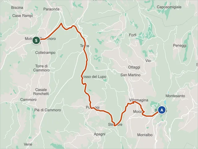 Sibillini trail 582 (Sellano)Difficulty E · 11.8 km · +344 m · 3:55 h
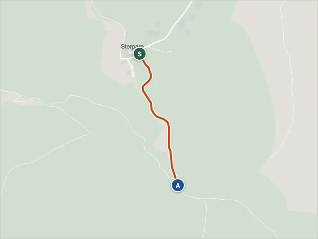 Sibillini trail 582ADifficulty T · 0.5 km · +5 m · 0:10 h
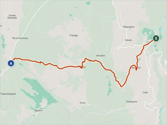 Sibillini trail 583Difficulty E · 8.6 km · +456 m · 3:15 h
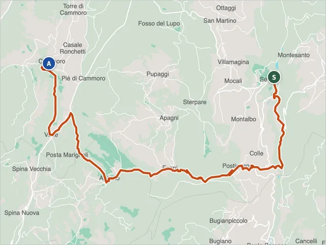 Sibillini trail 584Difficulty E · 15.6 km · +942 m · 6:20 h
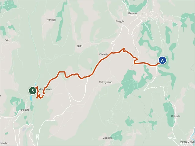 Trail 585Difficulty E · 6.8 km · +354 m · 2:25 h
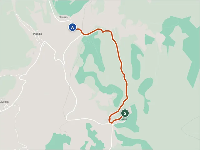 Trail 585ADifficulty T · 2.7 km · +156 m · 0:55 h
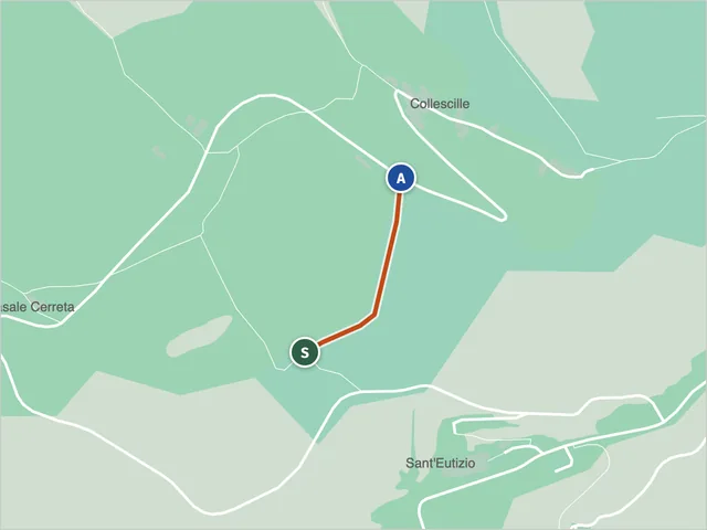 Trail 585B, PreciDifficulty T · 0.3 km · +93 m · 0:20 h
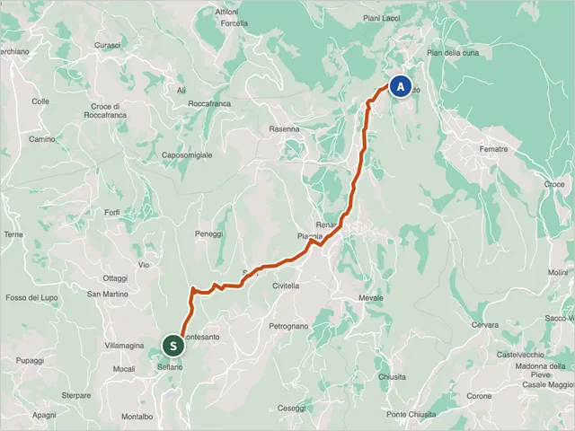 Sibillini Trail 586Difficulty E · 9.7 km · +581 m · 3:30 h
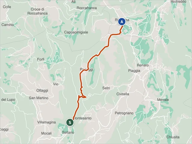 Sibillini Trail 587Difficulty E · 7.0 km · +537 m · 2:55 h
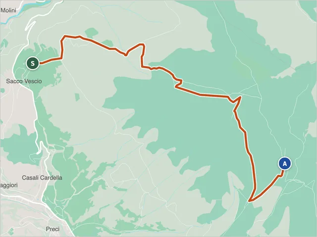 Trail 589, PreciDifficulty E · 6.4 km · +723 m · 3:35 h
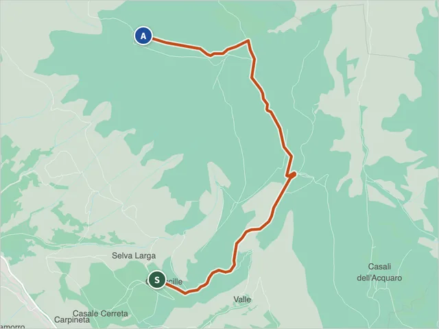 Trail 590 (Preci)Difficulty E · 5.0 km · +461 m · 2:15 h
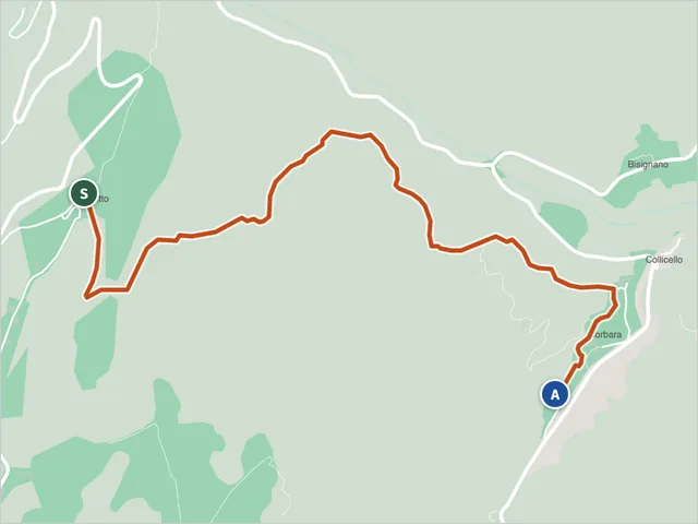 Balzo Corbara TrailHiking trail · Montegallo
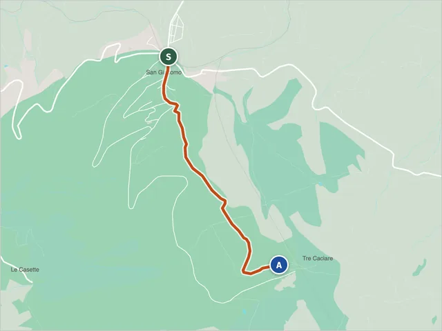 Colle della Luna Trail (402)Ascoli Piceno · Difficulty E · 2.1 km · +330 m · 1:20 h
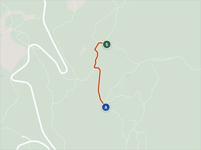 Sentiero della Memoria VariantDifficulty E · 0.5 km · +68 m · 0:20 h
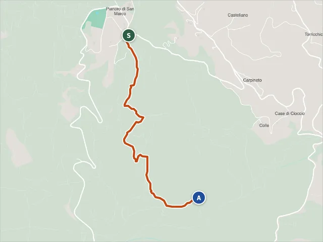 Sentiero della Memoria (Trail 472)Ascoli Piceno · Difficulty E · 2.7 km · +255 m · 1:15 h
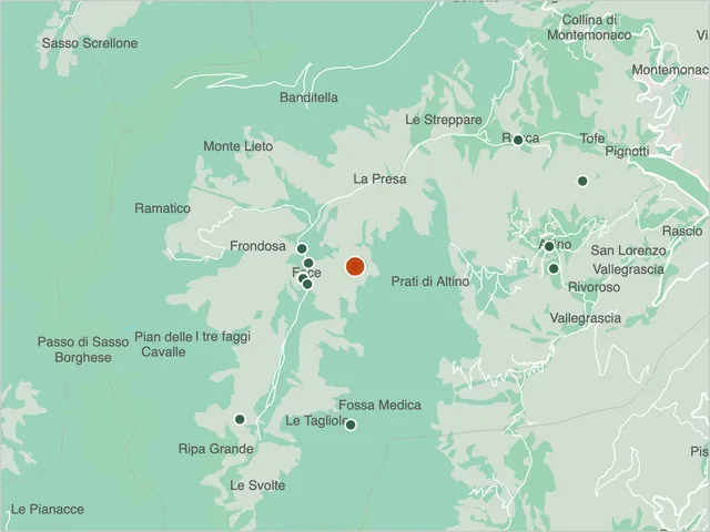 Sentiero delle Fate on Monte VettoreGuide
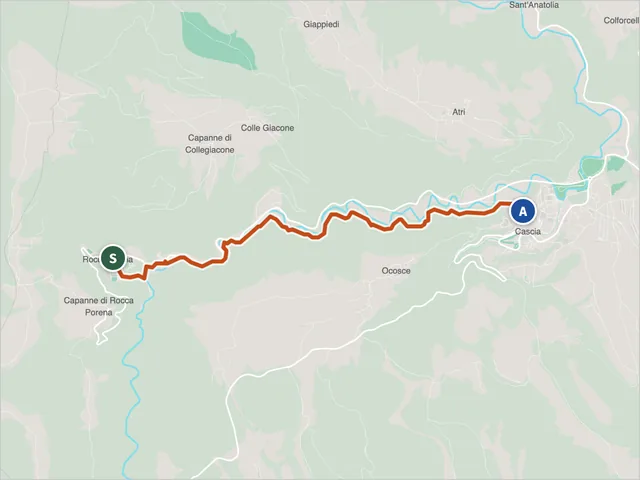 Sentiero di Santa Rita in RoccaporenaHiking trail · Cascia
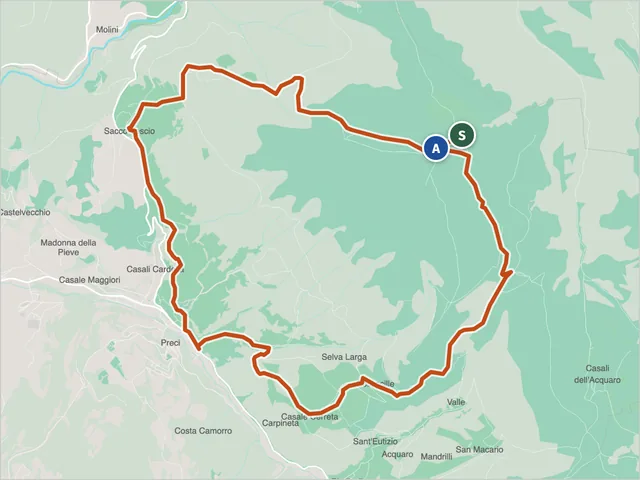 Trail E12Difficulty NON INDICATA · 13.5 km · +900 m · 6:25 h
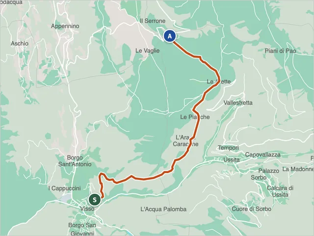 E7 Trail from Visso to the Santuario di MaceretoUssita · Difficulty NON INDICATA · 8.6 km · +517 m · 3:20 h
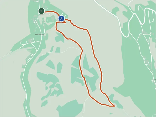 Trail N11, Castelsantangelo sul NeraDifficulty NON INDICATA · 2.8 km · +166 m · 1:10 h
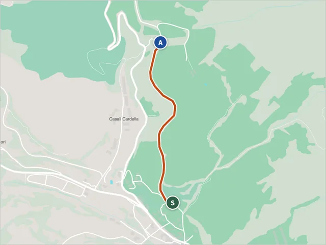 Sibillini Nature Trail N10 in PreciHiking trail · Preci
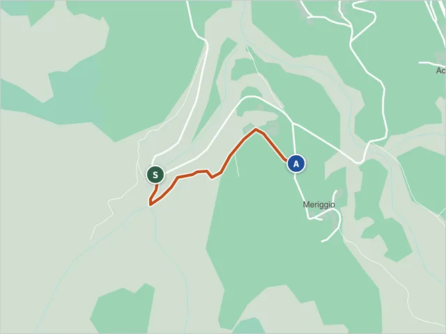 Sibillini Nature Trail N13 at AcquacaninaHiking trail · Fiastra
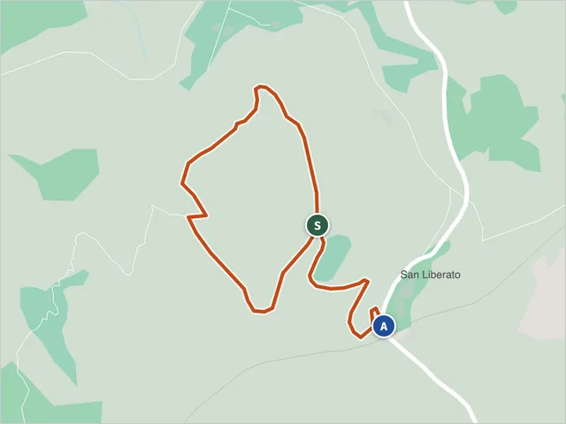 Sibillini Nature Trail N15San Ginesio · Difficulty T · 1.6 km · +86 m · 0:45 h
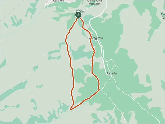 Sibillini Nature Trail N16 at TribbioCessapalombo · Difficulty NON INDICATA · 3.0 km · +169 m · 1:15 h
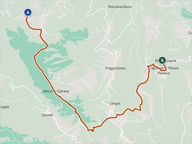 Sentiero RitianoDifficulty EE · 15.3 km · +1,145 m · 7:05 h
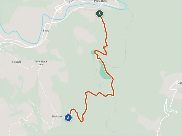 Trail S2, Acquasanta TermeDifficulty E · 3.6 km · +345 m · 2:05 h
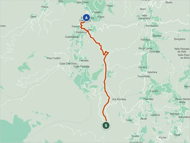 Sentiero Italia CAIDifficulty E · 10.1 km · +303 m · 4:00 h
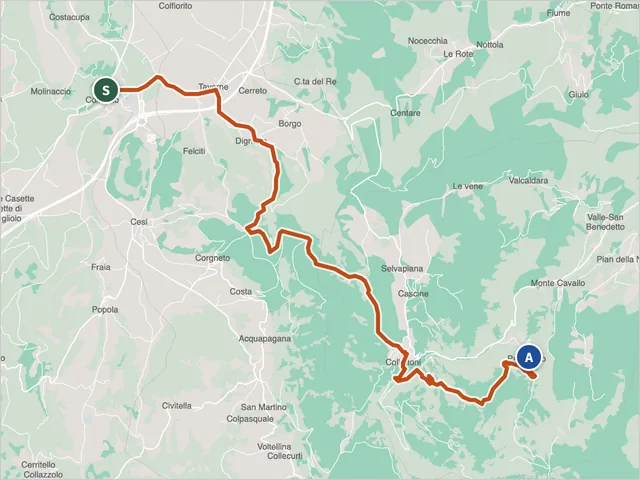 Sentiero Italia CAIDifficulty E · 16.8 km · +940 m · 6:40 h
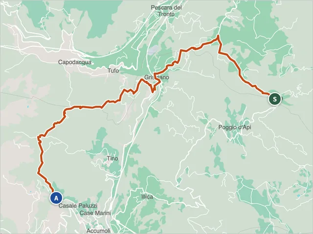 Sentiero Italia CAIDifficulty E · 13.4 km · +642 m · 5:00 h
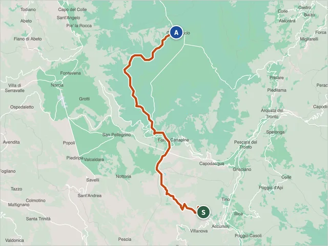 Sentiero Italia CAIDifficulty E · 24.4 km · +962 m · 8:20 h
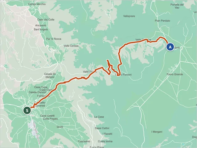 Sentiero Italia CAIDifficulty E · 15.9 km · +1,252 m · 7:05 h
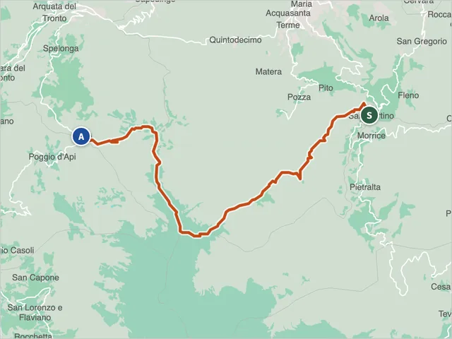 Sentiero Italia CAIDifficulty E · 20.7 km · +1,365 m · 9:30 h
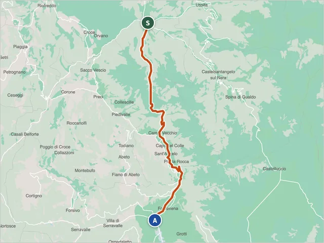 Sentiero Italia CAIDifficulty E · 20.9 km · +972 m · 7:50 h
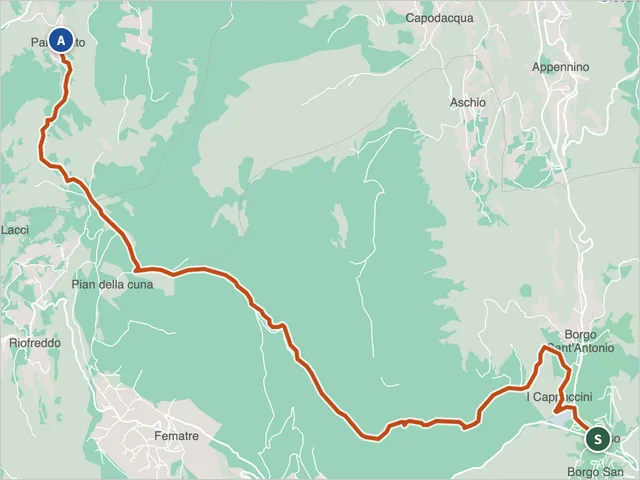 Sentiero Italia CAIDifficulty E · 14.5 km · +932 m · 6:00 h
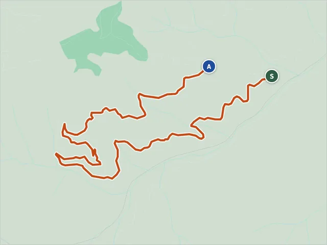 Sterrata di San GerboneAcquasanta Terme · Difficulty T · 6.8 km · +513 m · 3:00 h
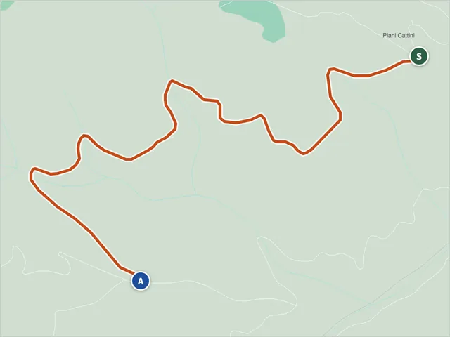 Maularo Collefrattale Dirt Road (Sterrata Maularo Collefrattale)Acquasanta Terme · Difficulty E · 2.8 km · +177 m · 1:05 h
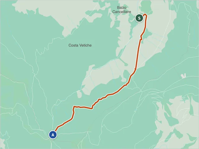 Strada del FargnoBolognola · Difficulty EE · 4.2 km · +642 m · 2:40 h
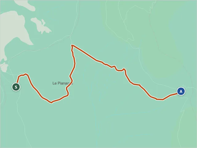 Strada ImperialeDifficulty E · 3.0 km · +370 m · 1:35 h
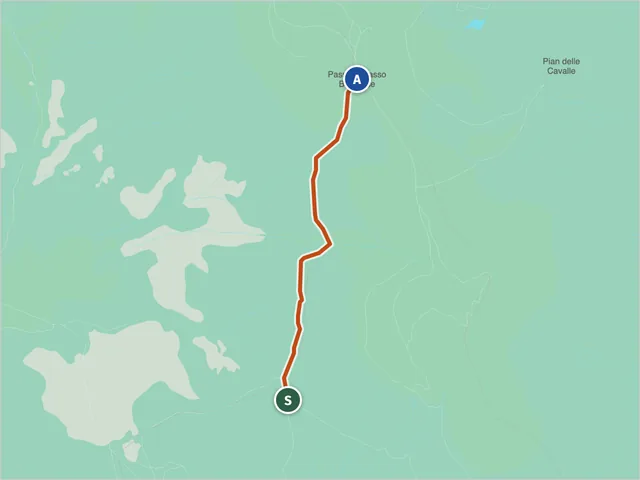 Strada Imperiale (Trail 555)Castelsantangelo sul Nera · Difficulty E · 1.8 km · +280 m · 1:10 h
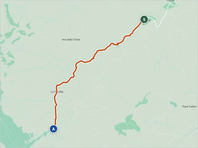 Umito-Volpara TrailAcquasanta Terme · Difficulty E · 5.7 km · +617 m · 2:55 h
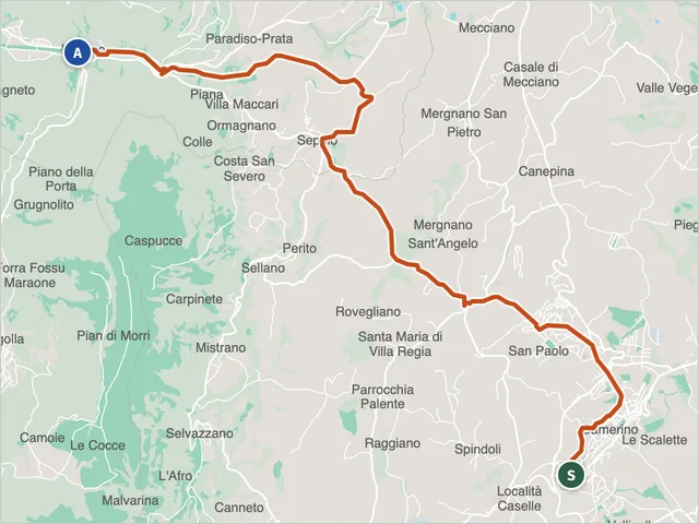 Via della Carta from Camerino to PioracoHiking trail · Camerino
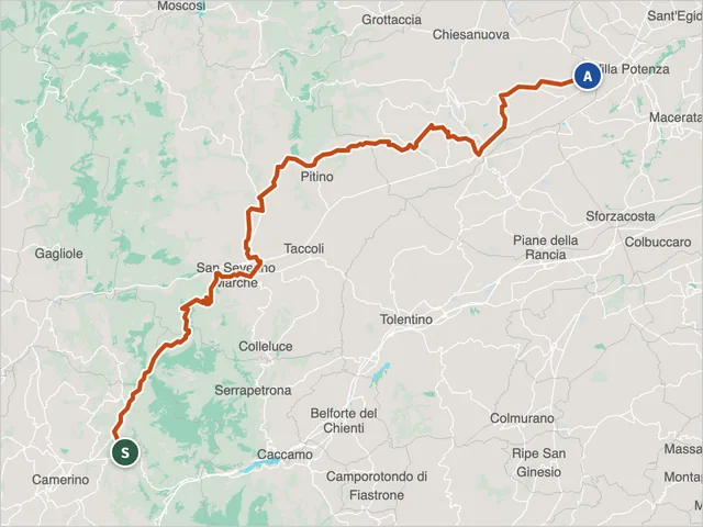 Via Romano-Lauretana to CamerinoHiking trail · Camerino
Trail maps: © OpenStreetMap contributors · Protomaps.
No results with these filters.
On the map
Points from the site database. Map © OpenStreetMap contributors · Protomaps.
Sibillini Mountains trails: the map
The official Park cartography is needed to find your way. The most recent trail map shows the Park's updated numbering, with routes surveyed on the ground by GPS. The 2012 edition of the 1:40,000 map also shows "historic" trails, for which the Park guarantees neither maintenance nor signage.
On the ground the markings vary. The "E" hiking routes are marked by the classic white and red blazes. The official routes have an information board at the start with the route features and rules of conduct. Along the way there are blazes, trail markers, cairns, posts and arrows.
For the Sentieri Natura, the Park's website uses a color code: a green dot indicates open trails, yellow those not fully open or with significant detours, red those closed. The current status is on the Park's official trails page (in Italian): SibilliniGuide does not report it in real time. "Wilderness" trails, not managed by the Park, have little or no signage and receive no maintenance or restoration.
Monti Sibillini trails not to miss
Among the best-known marked routes is the E10, the loop of Monte Sibilla. It starts from the Rifugio Sibilla 1540, where 1540 is the elevation. It is an 11.8 km loop, taking about 4 hours. The Grotta della Sibilla is reached by CAI trail 156 or 155. The 156 is longer than the 155 but less tiring, because the elevation gain is spread over a longer distance.
The E3, "Fra camosci e aquile" ("Among chamois and eagles"), is shorter. Cars are left in the parking lot in front of the church of San Michele Arcangelo, and the start is reached in a few minutes by crossing the village. The signs give a length of 2.7 km.
The E4 links Bolognola to the Gola dell'Acquasanta. It is about 11 km out and back, takes just over 3 hours and is graded EE, so it is not suitable for children or inexperienced people.
Another popular itinerary is the Infernaccio. Preceded by the Pisciarelle waterfalls, it connects the hills of Montemonaco and Montefortino with the basin of the Tenna springs. With ordinance no. 32 of July 17, 2026 the Municipality of Montefortino reopened trail E9 from the Valleria parking lot to the second junction for the Eremo di San Leonardo, with a mountaineering helmet mandatory; the section from the second junction to Arcofù, toward Capotenna, remains closed to vehicles and pedestrians.
Around Castelluccio di Norcia lie three plateaus. They are the Pian Grande, the Pian Piccolo and the Pian Perduto, and they mark the southwestern edge of the massif. The Sentiero Italia CAI also passes here. Its stages are Madonna delle Coste–Castelluccio, Castelluccio–Norcia and Norcia–Visso.
For a multi-day walk there is the Grande Anello dei Sibillini. It is a fully marked 124 km route, done in nine days, that crosses the entire mountain range. More options are gathered on the pages on multi-day hikes in the Sibillini, loop hikes in the Sibillini and easy Sibillini Mountains walks. In winter there is the page on snowshoeing in Le Marche.
Sibillini National Park trails: tips for your visit
Before setting off it is worth checking the condition of the route. The effects of the 2016-2017 earthquakes are still visible in the Park. Some historic centers are partly accessible or closed, and some routes may be closed by ordinances. Among the Sentieri Natura, "Sentinelle di Pietra" is only partly passable. Before setting off it is also worth checking the weather.
Choose the difficulty realistically. The more demanding hikes often require experience, fitness and suitable equipment. Hikers can rely on the official Park guides. The Park recommends being accompanied by guides, or by qualified associations such as the CAI, on routes with passability problems, worn markings and risky spots. Tracks and old paths not included in the Park's trail plan are unmarked and often dangerous.
With a dog there is a specific rule. Some routes cross repopulation zones or specially protected areas, where dogs are not allowed on every section.