


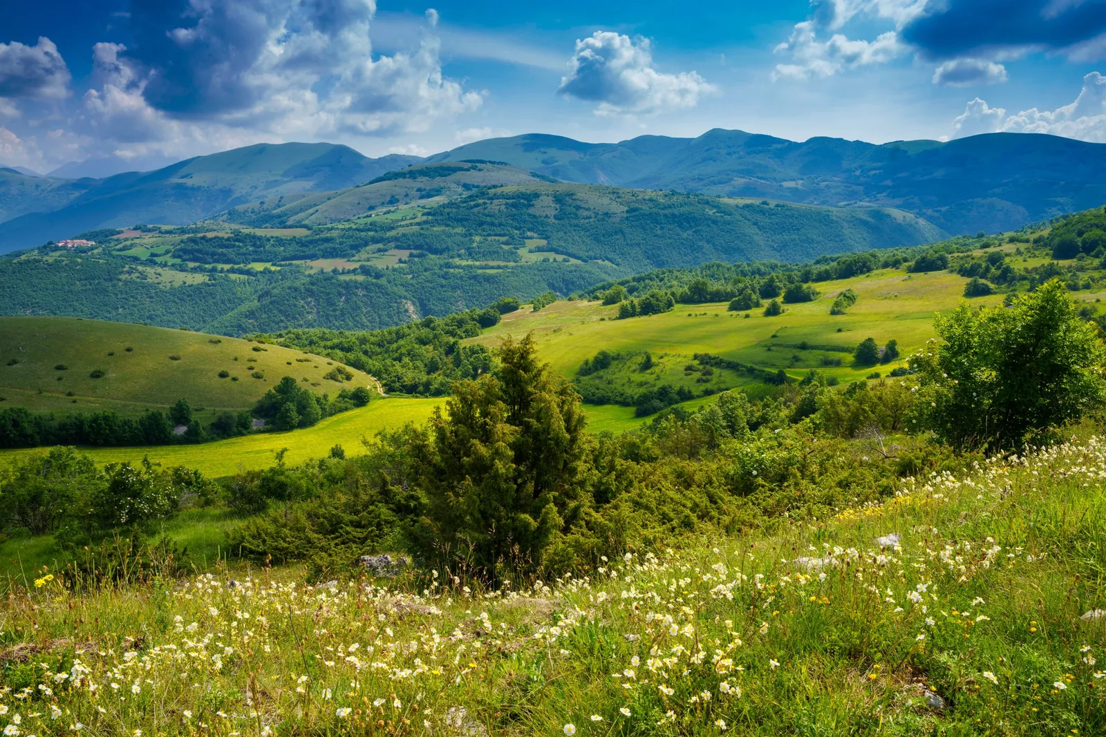
Sibillini Mountains Nature
The nature of the Sibillini Mountains is made of limestone, water and legends, between the Marche and Umbria. Since 1993 it has been protected by a National Park of about 70,000 hectares. Monte Vettore and the neighboring peaks enclose the valley of Lago di Pilato. At the foot of the Vettore open out the Piani di Castelluccio. Along the base of the massif runs the Cordone del Vettore, a long scar in the rock that marks the fault of the 2016 earthquake.
In this section
12 results
- Picnic Areas in the Sibillini Mountains4 places
 Waterfalls of the Sibillini Mountains in the Marche and Umbria18 places
- Sibillini flora and fauna6 places
 Gorges and valleys of the Sibillini12 places
- Caves of the Sibillini Mountains2 places
 Sibillini Mountains lakes in Le Marche16 places
- Viewpoints in the Sibillini Mountains8 places
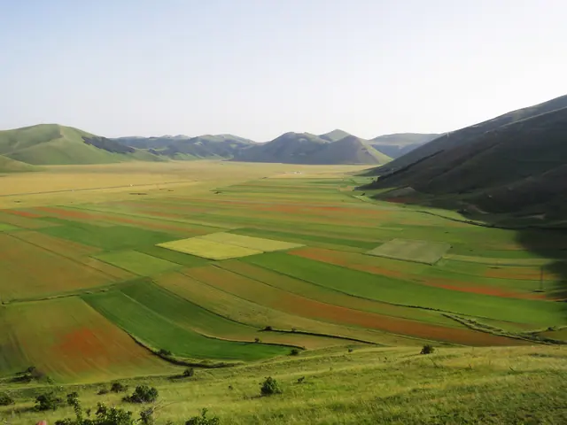 Plains and Plateaus of the Sibillini Mountains6 places
- Springs and fountains of the Sibillini Mountains1 places
- Hot springs and thermal waters of the Sibillini2 places
- Mountain passes of the Sibillini4 places
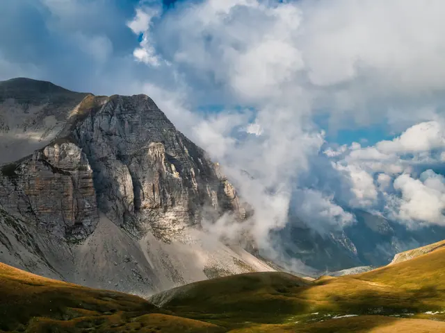 Peaks of the Sibillini Mountains33 places
No results with these filters.
The peaks of the Sibillini Mountains
Monte Vettore (2,476 m), on the border between the Marche and Umbria, is the highest peak in the Sibillini and in the Marche. Trail 101 starts from Forca di Presta, a mountain pass, and reaches the top in 2 and a half to 3 hours, with 940 m of elevation gain. Other peaks include Cima del Redentore (2,448 m), Pizzo della Regina on Monte Priora (2,332 m) and Monte Sibilla (2,173 m).
The Sibillini lakes in the Marche
Lago di Pilato lies at 1,941 m below Monte Vettore, in the municipality of Montemonaco. It is the only natural lake in the Marche and is glacial in origin. When there is plenty of water it forms two connected basins, hence its nickname, the "lake with glasses". It is the most fragile environment in the Park: it is reached along marked trails, such as trail 151 climbing from Foce di Montemonaco, which must never be left. Lago di Fiastra, in the province of Macerata, is instead a reservoir created in 1955 by a dam on the Fiastrone river.
The Sibillini waterfalls in the Marche
Among the waterfalls of the Marche side of the Sibillini are those of Acquasanta at Bolognola. At Castelsantangelo sul Nera, below Monte Prata, is the Cascata del Pisciatore waterfall: from Vallinfante the trail is about 3 km one way; from the village square the hike is about 10-11 km round trip, with an elevation gain of a few hundred meters. In the Gola dell'Infernaccio, at Montefortino, the Tenna river forms the Pisciarelle falls. In recent years some waterfalls in the Marche have been closed to the public because they were overcrowded, on private land or in dangerous areas.
Caves of the Sibillini Mountains
The Grotta della Sibilla (the Sibyl's Cave) lies a few dozen meters from the summit of Monte Sibilla, in the municipality of Montemonaco, and is not accessible. The entrance is blocked by a landslide, and today only a collapse hollow full of boulders can be seen. The Frenchman Antoine de La Sale described the cave in 1420.
Passes and forche of the Sibillini Mountains
Forca di Presta lies at the foot of Monte Vettore, on the border between the Marche and Umbria, and links the valley of Arquata del Tronto with the Piani di Castelluccio. The Giovanni Giacomini hut at the pass has been unusable since the earthquake of August 24, 2016. Forca Canapine (1,541 m) stands near the point where Umbria, the Marche and Lazio meet.
Viewpoints in the Sibillini Mountains
On clear days, the summit of the Vettore offers views of the Gran Sasso, Terminillo and the Adriatic. Forca Canapine looks out on one side over the Pian Grande of Castelluccio, on the other over the face of the Vettore. From Forca di Presta starts the "Sentiero per tutti" (the trail for everyone), suitable also for people with reduced mobility. It ends at a viewpoint over the Monti della Laga.
Springs and fountains of the Sibillini Mountains
The springs of the Nera river are at Vallinfante, a hamlet of Castelsantangelo sul Nera, at 902 m. About 100 liters of water per second flow out here, and the Nera becomes the main left-bank tributary of the Tiber. The springs can also be reached by car.
Picnic areas in the Sibillini Mountains
Near the springs of the Nera there is a meadow with picnic tables and a small parking area. Near Montemonaco, Lago di Gerosa has shaded shores with two playgrounds and equipped picnic areas.