


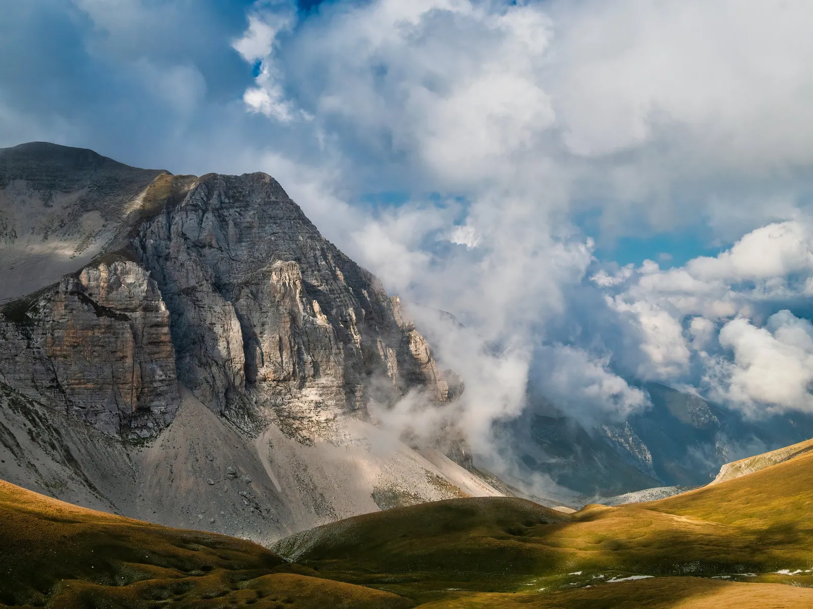
Peaks of the Sibillini Mountains
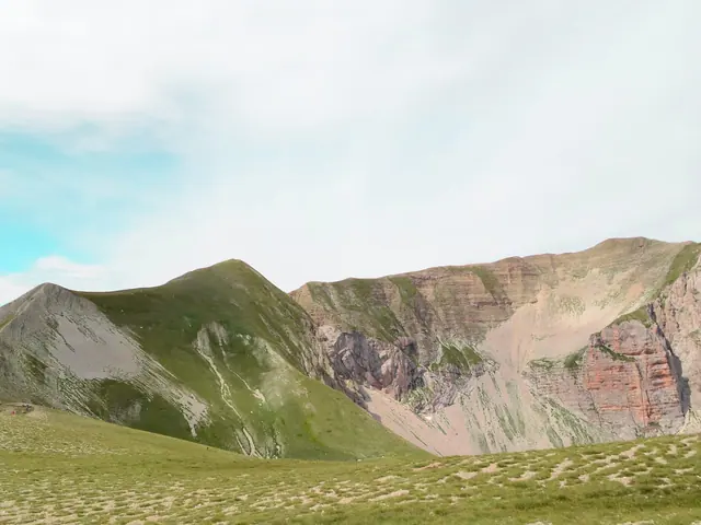
Among the peaks of the Sibillini Mountains, the Monte Bove massif, in the central-northern part of the Sibillini Mountains, is one of the best-known groups in the range. Monte Bove, at 2,169 m, has two main summits: the South at 2,169 meters and the North at 2,112 meters. Monte Bove is in the municipality of Ussita, like nearby Monte Bicco. Farther south along the ridge are Passo Cattivo and Cima di Vallinfante, in the municipality of Castelsantangelo sul Nera.
This page serves as an index to the Sibillini peaks that have their own page, with the municipality they belong to. The details on elevations and routes mainly concern the Bove group. For the other summits, access and trails are on the individual pages.
The places
33 results
- Cima del LagoGuide
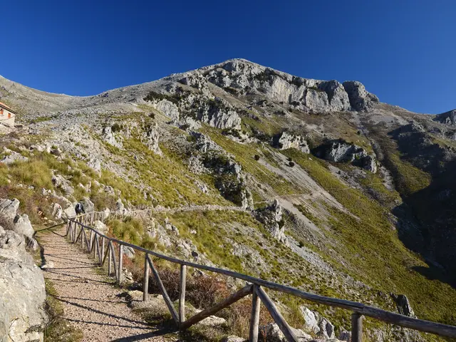 Cima del RedentoreGuide
- PeakCima dell'OsservatorioPeak · Montemonaco
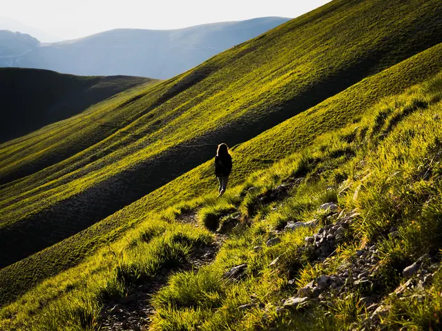 Cima di Forca ViolaPeak · Montemonaco
- PeakCima di Passo CattivoPeak · Castelsantangelo sul Nera
- PeakCima di VallinfantePeak · Castelsantangelo sul Nera
- PeakCima VallelungaPeak · Montefortino
- PeakIl PizzoPeak · Montegallo
- PeakMacéra della MortePeak · Arquata del Tronto
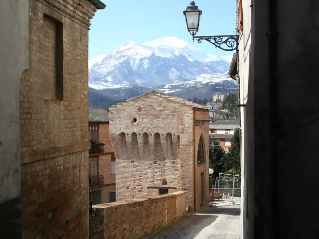 Monte AmandolaPeak · Amandola
- Monte ArgentellaGuide
- PeakMonte BiccoPeak · Ussita
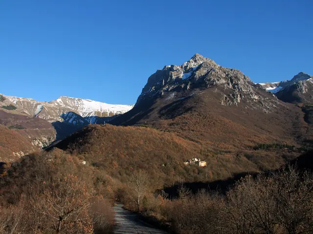 Monte Bove NordPeak · Ussita
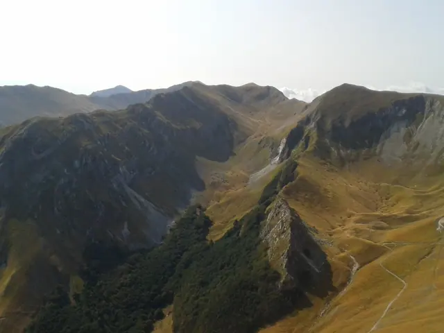 Monte Bove SudPeak · Ussita
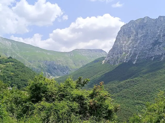 Monte BoveGuide
- Monte Castel ManardoGuide
- PeakMonte PizzoPeak · Cascia
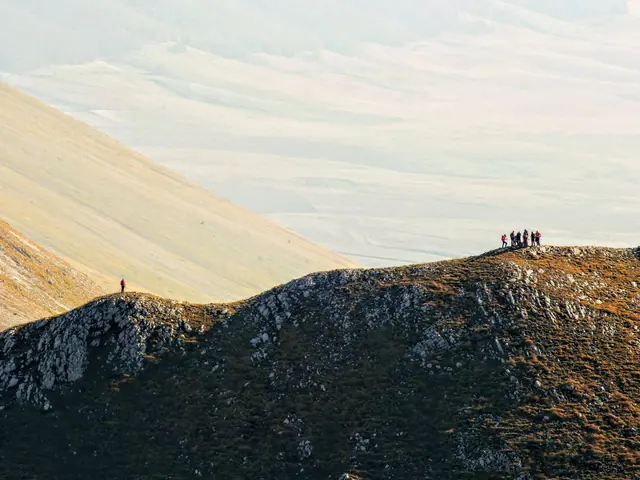 Monte PorchePeak · Castelsantangelo sul Nera
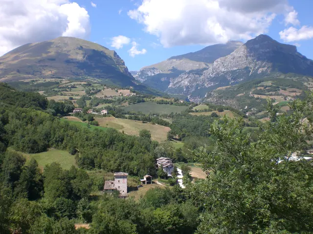 Monte PrioraGuide
- PeakMonte RotondoPeak · Bolognola
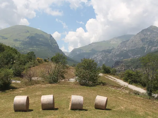 Monte SibillaPeak · Montemonaco
- PeakMonte TorronePeak · Montemonaco
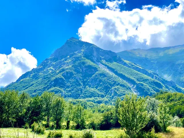 Monte VettoreGuide
- PeakMonte VettorettoPeak · Arquata del Tronto
- PeakPizzo AcutoPeak · Montefortino
- Pizzo BerroGuide
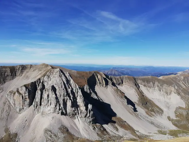 Pizzo del DiavoloGuide
- Pizzo Tre VescoviGuide
 Punta di Prato PulitoPeak · Montemonaco
- PeakQuarto San LorenzoPeak · Montemonaco
- PeakSasso d'AndrèPeak · Montegallo
- PeakSasso di Palazzo BorghesePeak · Montemonaco
- Monte SassotettoGuide
No results with these filters.
On the map
Points from the site database. Map © OpenStreetMap contributors · Protomaps.
Peaks of the Sibillini Mountains: the map
The Bove massif can be framed by its natural boundaries. To the north it is bounded by the gorge of the Ussita stream. To the south it opens onto the Vallinfante valley and connects, along the ridge, to Passo Cattivo. To the east it faces the Val di Panico and to the west the Ussita valley with the town's hamlets. Monte Bove is in the province of Macerata.
Along the ridge and nearby, elevations are well documented. Passo Cattivo is at 1,869 m, Cima di Vallinfante at 2,113 m and Monte Bove Sud at 2,169 m. From Monte Bove Nord you can see Pizzo Tre Vescovi (2,092 m) and the Forcella del Fargno (1,811 m).
The other peaks with their own page are grouped by municipality:
- Montemonaco: Monte Sibilla, Monte Torrone, Cima del Lago, Cima dell'Osservatorio, Cima di Forca Viola, Punta di Prato Pulito, Quarto San Lorenzo and Sasso di Palazzo Borghese.
- Castelsantangelo sul Nera: Monte Porche, Cima di Passo Cattivo and Cima di Vallinfante.
- Arquata del Tronto: Macéra della Morte and Monte Vettoretto.
- Montefortino: Cima Vallelunga and Pizzo Acuto.
- Montegallo: Il Pizzo and Sasso d'Andrè.
- Amandola: Monte Amandola and Monte Castel Manardo (summit in the municipality of Sarnano).
- Bolognola: Monte Rotondo and Monte Sassotetto (between Bolognola and Sarnano).
- Cascia: Monte Pizzo.
Also with their own page, without a municipality listed, are Monte Vettore, Cima del Redentore, Pizzo del Diavolo, Pizzo Tre Vescovi, Monte Priora, Monte Argentella and Pizzo Berro. The wider picture of the environment is on the page on Sibillini Mountains nature.
Peaks of the Sibillini Mountains: the places not to miss
Monte Bove Sud and Monte Bove Nord. These are the two main summits of the massif, at 2,169 and 2,112 m. From Monte Bove Sud the view takes in the entire Sibillini range. The loop crosses a series of ridges between the two summits, where great care is needed. The pages on Monte Bove Sud and Monte Bove Nord cover access and trails.
Croce di Monte Bove. This is the third and lowest summit of the group, at 1,905 m. It lies to the northwest, is clearly visible from the valley and had a large metal cross, which collapsed in the 2016 earthquake.
Monte Bicco. Monte Bicco, at 2,052 m, lies along the route to Monte Bove Sud. Between the Bicco and the Bove stretches the Val di Bove, of glacial origin, where the ascent trails start. Access is explained on the page on Monte Bicco.
Monte Cornaccione. Its summit is at 1,769 m, reachable with a detour of about 15 minutes round trip. It is one of the waypoints on the classic route from Frontignano.
Passo Cattivo and Vallinfante. These are the landmarks of the southern side of the Bove, at 1,869 and 2,113 m. The two pages are Cima di Passo Cattivo and Cima di Vallinfante. The trail from Frontignano di Ussita to Cima di Vallinfante involves a large elevation gain.
The rest of the list includes peaks such as Monte Vettore, Monte Sibilla, Pizzo Berro and Monte Priora, each with its own page covering access and trails.
Peaks of the Sibillini Mountains: tips for your visit
Where to start. The loop over the Bove summits starts from Frontignano di Ussita. It is a route that starts and ends at the same point. Until December 31, 2026, however, it is closed even on foot under ordinance no. 48 of August 25, 2026 of the Municipality of Ussita. It begins at the Belvedere di Frontignano, at 1,650 m, near the ski lifts. The first stretch up to the Belvedere can be done on foot or with the Pian dell'Arco chairlift. It is wise to check in advance whether the lifts are running.
How long it takes. The routes described vary in length and duration. One loop graded E starts from Frontignano, climbs via the Cornaccione and takes a long day of walking. Another route is graded E, takes most of the day and requires good fitness. The time depends on the route chosen and on your pace. Until December 31, 2026 ordinance no. 48 of August 25, 2026 of the Municipality of Ussita bans passage, even on foot, in the work area of the Frontignano-Cornaccione gondola: before setting out, check with the Park which stretches are open.
What to know about the trail. The ridge route runs above 1,700 meters and is exposed in places. For the ascents, the Park map and a good supply of water are recommended, because water is hard to find along the trails. On the traverse between Monte Bove Nord and Monte Bove Sud, footing must be checked carefully. As with any mountain hike, check the weather forecast before setting out.
When to go. Hikes are possible in all seasons, but summer is the most suitable. In winter the routes are also used on snowshoes.
How to get there. From any direction, follow the signs for Visso, Ussita, Castelluccio and Frontignano. Coming from the Adriatic side, leave the A14 at Civitanova Marche.
For other vantage points, see the page on viewpoints in the Sibillini Mountains.