


Cima di Forca Viola: how to get there and trails
At a glance
- Type
- Peak
- Municipality
- Montemonaco (AP)
- Elevation
- 2,230 m
Source: site database, © OpenStreetMap contributors (ODbL).
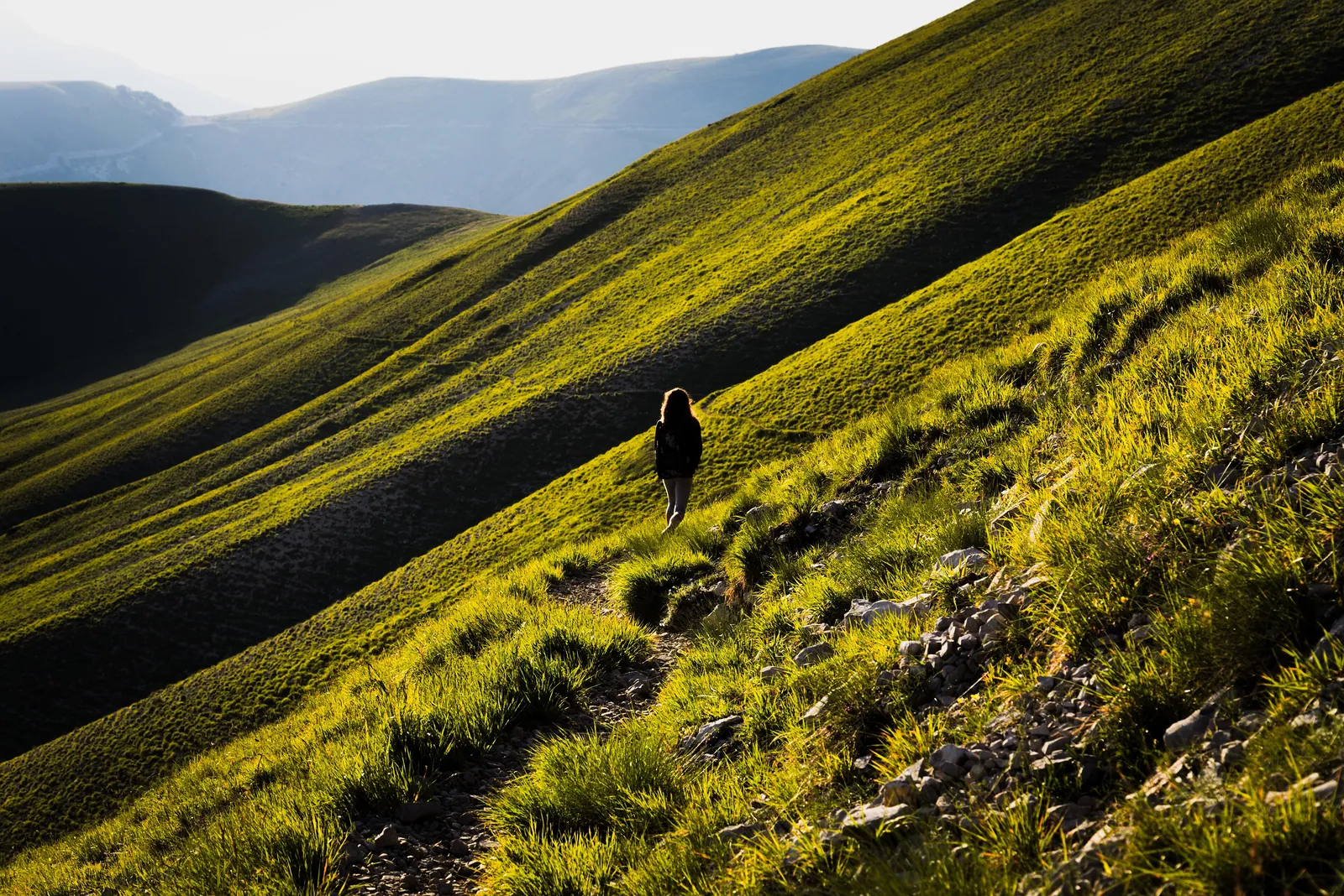
Cima di Forca Viola is a 2,230 m peak in the municipality of Montemonaco, in the Marche. It is little known and does not appear on some maps of the Sibillini Mountains. Yet it is the first peak that bounds, on the right as you climb, the valley of Lago di Pilato, and it offers a view from above over the whole valley. There is no road or marked trail to the summit: it is reached on foot from Forca Viola or along the ridge.
Before you go
Forecast
- Today9° / 4°0.0 mmCloudy
- Tomorrow10° / 4°8.0 mmLight rain
- Friday7° / 3°32.8 mmHeavy rain
Forecast by MET Norway, updated automatically · license CC BY 4.0
Rules and orders: Park website. Snow and avalanches: Meteomont bulletin.
On the map
Points from the site database. Map © OpenStreetMap contributors · Protomaps.
Where Cima di Forca Viola is located
The peak is in Montemonaco, in the province of Ascoli Piceno, within the Sibillini Mountains National Park. It sits on the ridge that climbs east from Forca Viola, at 1,936 m. In sequence come Quarto San Lorenzo (2,247 m), Cima dell'Osservatorio (2,350 m) and Cima del Redentore (2,448 m). Forca Viola lies between Monte Argentella and the Redentore-Vettore massif.
How to get to Cima di Forca Viola
The best-documented routes start from the Castelluccio side. There is a parking area below Castelluccio, where trail 553 begins. Another small parking area is at the start of the dirt road before the switchbacks to Castelluccio di Norcia. From there, continue on foot to Capanna Ghezzi. From Castelluccio to Forca Viola the climb is about 600 m. Capanna Ghezzi is a hut that has long been closed: before counting on it as a base, it is wise to ask. At the spring by the hut it is possible to stock up on water. Alternatively, start from Forca di Presta, where there is a parking area.
Trails and hikes to Cima di Forca Viola
For the climb from Capanna Ghezzi, one route is 10.1 km, with 1,083 m of elevation gain and about 5 hours of walking. It is an ascent on snow, recommended for people experienced in mountaineering techniques. In summer, from Forca Viola it is possible to climb steep meadows to the summit and continue toward Cima dell'Osservatorio.
A loop of about 26 km, with 1,550 m of ascent and 8 and a half hours of walking, takes in Forca Viola, the ridge peaks and Lago di Pilato, and is a hike for experts. From Forca di Presta another loop climbs about 1,450 m along trail 101 to the Zilioli hut. It then follows the Redentore ridge, where markings are almost nonexistent. To descend from the summit to Forca Viola, it is best to follow the steep north ridge, among grassy steps and small scree patches.
When to visit Cima di Forca Viola
For the ridge loops, the recommended period runs from late spring to fall. In winter the climb is possible only with mountaineering equipment: crampons, ice axe, harness and rope are needed. On the pastures there are flocks and herds, often with unattended sheepdogs, which should not be approached. Before setting out, it is wise to check the weather.
What to see near Cima di Forca Viola
Along the ridge, short detours add Quarto San Lorenzo, Cima dell'Osservatorio and Cima del Redentore. From the latter a slender ridge leads to Pizzo del Diavolo. Farther on is Cima del Lago. On the other side is Monte Argentella. Along the ridge, the Piana di Castelluccio is visible on one side and the narrow valley of Lago di Pilato on the other. Other peaks are on the page peaks of the Sibillini Mountains.
Frequently asked questions
How high is Cima di Forca Viola?
Do you need special equipment to climb Cima di Forca Viola?
How long does the climb from Capanna Ghezzi take?
Is there water along the climb?
Nearby
What to see nearby
- 600 m
- 1.3 km
- 1.9 km
Where to stay
- Bivacco Tito Zilioli, Arquata del TrontoBivouac or unstaffed hut3.2 km
- Villa Tardioli, NorciaGuesthouse3.7 km
- La Valle Delle Aquile, NorciaFarm stay3.7 km
Where to eat
- Classe 62, MontemonacoClimbing900 m
- Latte Condensato, MontemonacoClimbing2.0 km
- Buco Magico, MontemonacoClimbing2.1 km
Straight-line distances.