


Umbria Walks and Hiking
Umbria walks range from pilgrim routes between towns to mountain trails in the region's parks. The regional tourism board describes ancient trails, the Ways of Saint Francis and Saint Benedict, hermitages and abbeys, and walks that are destinations in themselves. For summer trekking it points to the main parks: the Sibillini Mountains, Mount Subasio, Mount Cucco and Mount Peglia. This site covers the Sibillini Mountains and their surroundings, so this page gives an overview of walking in the region and then goes into detail on the Umbrian side of the range, around Norcia, Cascia and Castelluccio.
On the map
Points from the site database. Map © OpenStreetMap contributors · Protomaps.
Umbria hiking on the long-distance routes
The best-known route is the St Francis Way (Via di Francesco), which leads to Assisi on foot, by bicycle or on horseback. In Umbria it has three sections: from Florence or Rimini to Assisi, in 12 stages rated easy; from Assisi to Rome, in 15 stages rated difficult; and from Rome to Assisi, in 13 stages rated medium. Coming from Rome, the route enters Umbria at Lake Piediluco, follows the Velino and the Nera through the Valnerina, past Arrone, Ferentillo and Ceselli, crosses the Monteluco ridge and descends into the Spoleto valley, then continues past Trevi, Foligno and Spello to Assisi. Walkers can obtain an official pilgrim credential and a certificate of completion. The route is described on the official site, La Via di Francesco.
From Norcia starts the Cammino di San Benedetto (Way of St. Benedict), about 300 km in 16 stages from the saint's birthplace to the abbey of Montecassino. The first two stages stay in Umbria, from Norcia to Cascia and from Cascia to Monteleone di Spoleto, before the route continues into Lazio.
Umbria trails in the Sibillini
The Umbrian side of the Sibillini is built around the Piani di Castelluccio. The Piano Grande of Castelluccio is about 7 km long and on average 3 km wide, at about 1,250-1,300 m, and is closed on every side by ridges. To the east rises Monte Vettore (2,476 m). The regional tourism board describes the climb to the summit from Forca di Presta, past the Rifugio Zilioli, as one of the most popular trails in Umbria; experienced hikers can descend from there to Lago di Pilato.
Near Cascia, the Sentiero di Santa Rita is a 5.5 km linear trail through Roccaporena, the village where Saint Rita was born in 1381, with votive shrines, fountains and three religious buildings. Also near Cascia, the loop around Monte Meraviglia starts at Onelli and passes old farmhouses and shady woods before returning to the 14th-century church of San Sisto. The overview of all routes across the range is on the page about Sibillini Mountains hiking.
Easy walks for families
Among the region's gentler options are the Path of Peace in Assisi, from Santa Maria degli Angeli to the historic center, and the Trasimeno Trail, which runs for 160 km in seven stages through the lake's park and can be walked or cycled in sections. In the mountains, the Sibillini National Park has 18 Sentieri Natura (nature trails), short routes that start from the villages or just outside them; two are suitable for strollers and wheelchairs. They are collected on the page about easy walks in the Sibillini Mountains.
Umbria guided hike options
An Umbria guided hike in the mountains is led by the Park's official guides or by environmental hiking guides licensed by the region. The offer includes day trips, sunset and evening outings and multi-day treks. The Park recommends relying on a guide for the most delicate destinations, such as Lago di Pilato. Some tracks from Castelluccio and Forca di Presta are not waymarked and can be dangerous. The page on Sibillini Mountains guided hikes explains how to choose a guide.
Umbria snowshoeing and skiing
Umbria snowshoeing has its main area in the Sibillini, from December to March, depending on the snow. At Castelluccio di Norcia loops of 4-6 km cross the Pian Grande and the beech woods of the Val Canatra. From Forca Canapine a route reaches the frozen ponds of the Pantani di Accumoli, where border stones mark the meeting point of Le Marche, Umbria and Lazio. The meeting point for guided outings is often in Norcia. Details are on the page on Sibillini Mountains snowshoeing.
Umbria skiing, on the other hand, is on hold in this area. Forca Canapine, a pass at 1,541 m shared by Norcia and Arquata del Tronto, was a ski destination for decades, but its lifts have been closed since the 2016 earthquake. A relaunch project, "Forca Canapine 365", is under way. For the rest of the region, the things to do in Umbria page gives an overview.
Villages in the region
4 results
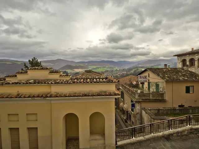 Cascia, ItalyUmbria · Perugia
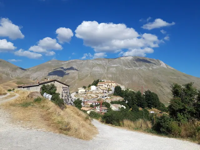 Castelluccio di NorciaUmbria · Perugia
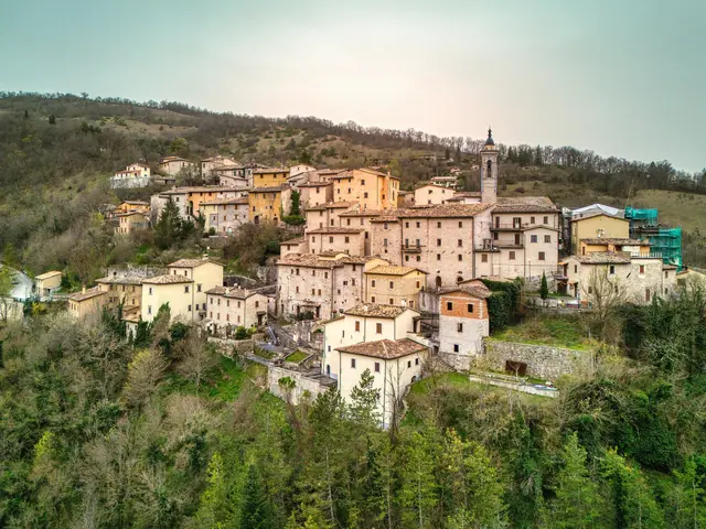 PreciUmbria · Perugia
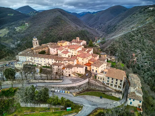 SellanoUmbria · Perugia
No results with these filters.