


Sibillini Mountains Hiking: Trails and Treks
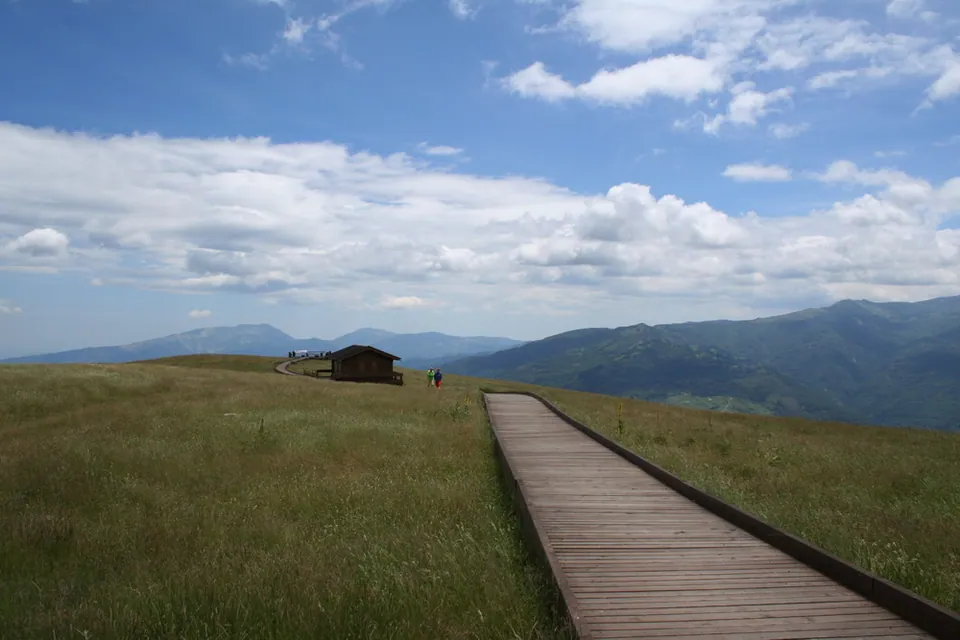
Sibillini Mountains hiking follows a range between the Marche region and Umbria that reaches 2,476 m at Monte Vettore and is protected by the Sibillini National Park, established in 1993, in the Monti Sibillini. Hikes range from loops around Amandola to multi-day walking routes and winter snowshoe outings. Outside the Sibillini National Park there are also the trails of Acquasanta Terme, in the Monte Ceresa group, which sits right between two "giants": the Monti Sibillini and the Monti della Laga.
In this section
6 results
- Loop Hikes in the Sibillini Mountains12 trails
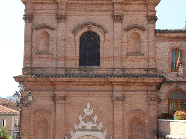 Multi-Day Hikes in the Sibillini7 trails
- Snowshoeing in Le Marche5 trails
- Easy Sibillini Mountains Walks22 trails
- Sibillini Trail Map6 trails
- Sibillini Mountains Trails194 trails
No results with these filters.
Easy trails in the Sibillini Mountains
Around Amandola there are short, undemanding loops. The Moglietta route is 6.4 km long, with 259 m of elevation gain and about 2 hours 10 minutes of walking. It climbs the Moscosa hill and reaches the village of Moglietta, with several churches and a hermitage on a rocky ridge. Even shorter is the trail through the pine wood between the Campolungo plateau and Valle Caprina: it is simple and at its best in the fall; 3.6 km, about an hour, 91 m of climbing.
Multi-day walks and treks in the Monti Sibillini
The Grande Anello dei Sibillini circles the entire range for about 124 km, in nine stages, and is fully signposted; it starts from Visso. The Cammino nelle Terre Mutate runs from Fabriano to L'Aquila for about 250 km and 14 stages, across four regions. From Fiastra onward the stages become true mountain walking and reach close to 1,600 m.
Snowshoeing in the Sibillini in the Marche
With snow, there are snowshoe walks at Bolognola, Frontignano di Ussita, Acquacanina and Sarnano. Near Sarnano, at the Piani di Ragnolo, there are routes suited to beginners too. One of the routes at the Piani di Ragnolo is 10 km long, with 200 m of elevation gain and about 2 hours 30 minutes in all. Before setting out, check the weather and snow conditions.
Pizzo dell'Arco
This route and the three that follow are in Acquasanta Terme, outside the Sibillini National Park. Pizzo dell'Arco, 1,011 m high, is a pointed rocky peak rising sheer above the Tronto valley right over Acquasanta Terme. The loop from Tallacano via Cocoscia is graded E: about 10 km, 650 m of elevation gain and 4 hours of walking. In some places the track is not always clearly visible.
Maularo-Collefrattale dirt road
The Maularo-Collefrattale dirt road is a very long unpaved road on the Rio Castellano side, in Acquasanta Terme. It is ridden by mountain bike and also used for hikes on foot. The Collefrattale - Foresta di San Gerbone - Cascata delle Prate loop is difficult: 16.1 km, about 6-6.5 hours.
San Gerbone dirt road
The Foresta di San Gerbone is a protected area of 679 hectares, in the Gran Sasso and Monti della Laga National Park. In the woods lies the Grotta di San Gerbone, a cave carved by water that held a small church documented from 1571. For the cave, cars are left at the barrier and the walk continues for another 3 km.
Umito-Volpara
The trail starts from Umito, a hamlet of Acquasanta Terme in the Gran Sasso and Monti della Laga National Park, and reaches the base of the Volpara waterfalls, a series of drops several hundred meters high. The difficulty is E. The best period is between late spring and early summer, when the falls carry the most water. The last stretch has been reported as cut by a landslide: check before setting out.
Itinerario fuoriporta 1 - Moscosa, near Amandola
The Itinerario fuoriporta 1 - Moscosa is a loop at Amandola of medium difficulty: 5 km, 179 m of climbing, about 1 hour 55 minutes of walking. It starts near the gorge of the Lera stream and its waterfalls, climbs through the Moscosa woods, descends to Casa Corazza and gives a view of Amandola from above.
For hiking in Italy's mountains beyond the park, the regional guides cover walks in Umbria and Le Marche hiking.