


Sibillini Mountains Villages
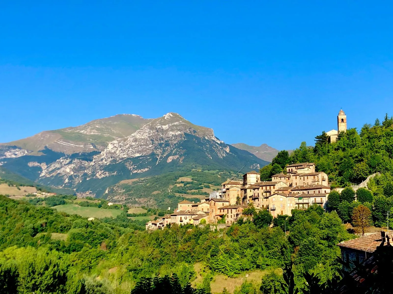
The villages of the Sibillini Mountains lie between the Marche and Umbria, within the Sibillini National Park. These Sibillini National Park villages are towns overlooking the valleys of the Tenna, Aso, Fiastrone and Nera rivers, hamlets scattered below Monte Vettore and a village on a hill above the Piani di Castelluccio (the Castelluccio plains). Many still bear the marks of the 2016 earthquake, which destroyed entire historic centers: visiting them today means seeing landscape, history and reconstruction together.
In this section
29 results
 Acquasanta TermeLe Marche · Ascoli Piceno
 AmandolaLe Marche · Fermo
 Arquata del TrontoLe Marche · Ascoli Piceno
 BolognolaLe Marche · Macerata
 CaldarolaLe Marche · Macerata
 Camerino, ItalyLe Marche · Macerata
 Cascia, ItalyUmbria · Perugia
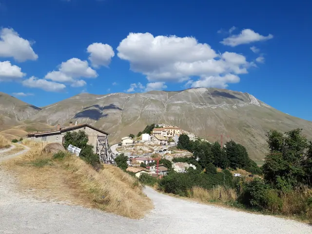 Castelluccio di NorciaUmbria · Perugia
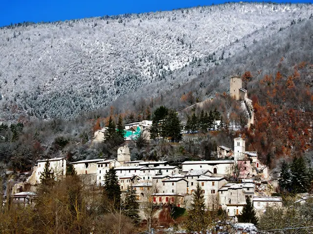 Castelsantangelo sul NeraLe Marche · Macerata
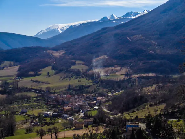 CessapalomboLe Marche · Macerata
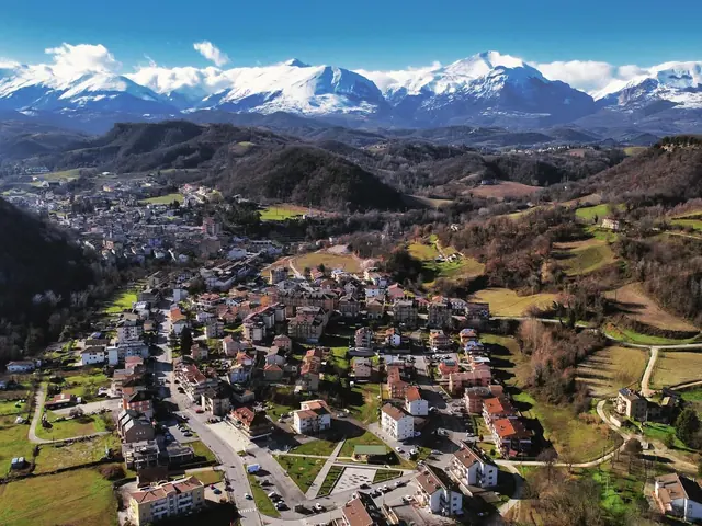 ComunanzaLe Marche · Ascoli Piceno
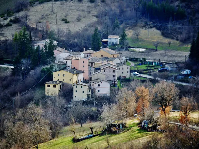 FiastraLe Marche · Macerata
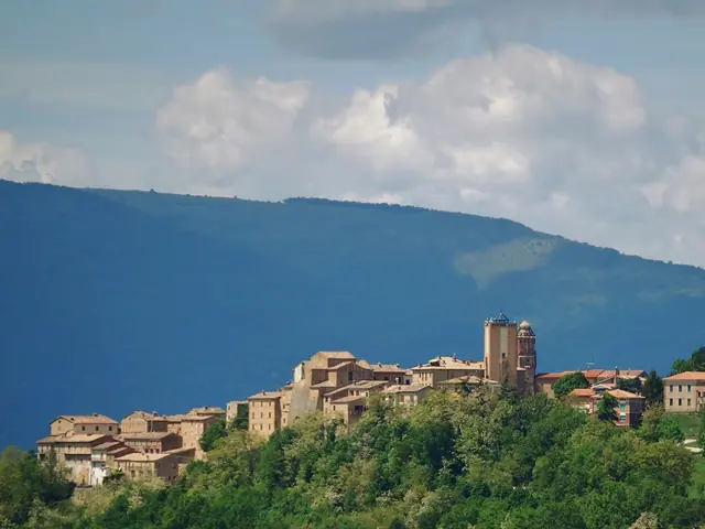 GualdoLe Marche · Macerata
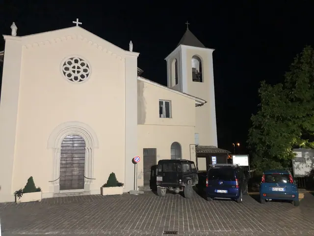 Monte CavalloLe Marche · Macerata
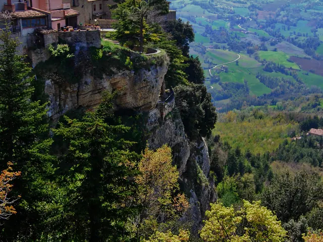 Montefalcone AppenninoLe Marche · Fermo
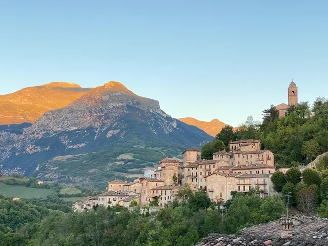 MontefortinoLe Marche · Fermo
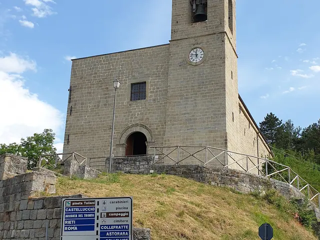 MontegalloLe Marche · Ascoli Piceno
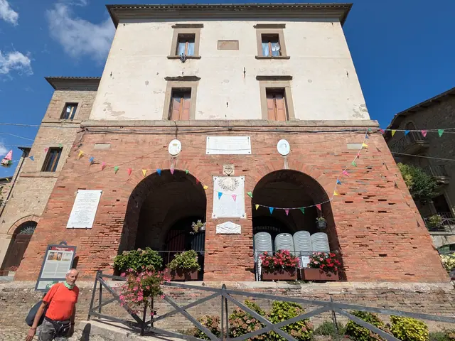 MontemonacoLe Marche · Ascoli Piceno
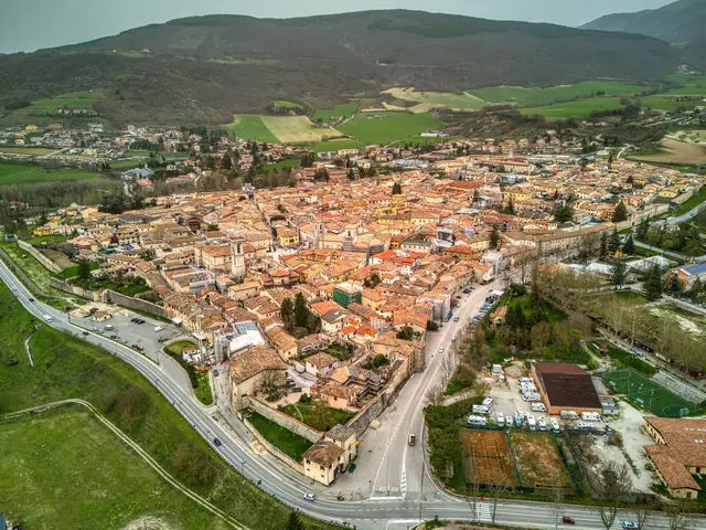 NorciaUmbria · Perugia
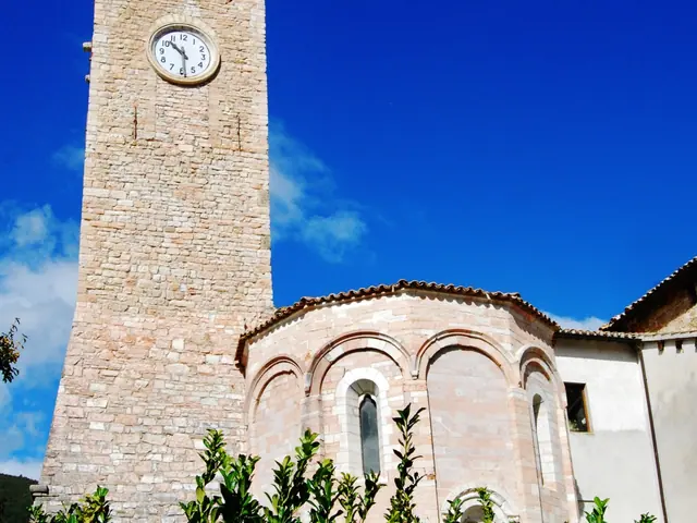 Pieve TorinaLe Marche · Macerata
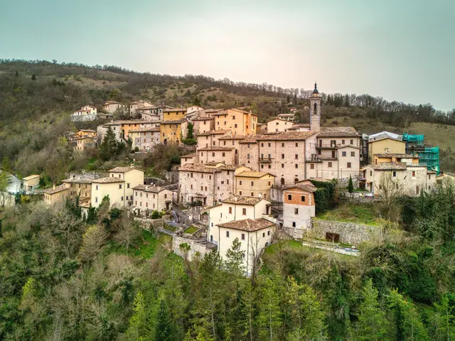 PreciUmbria · Perugia
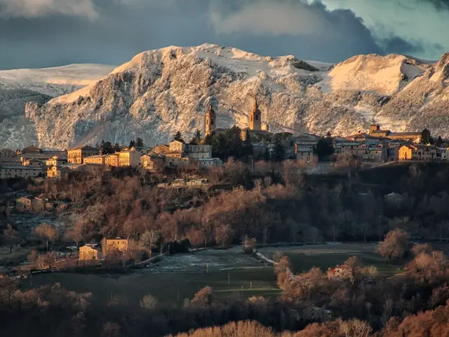 San GinesioLe Marche · Macerata
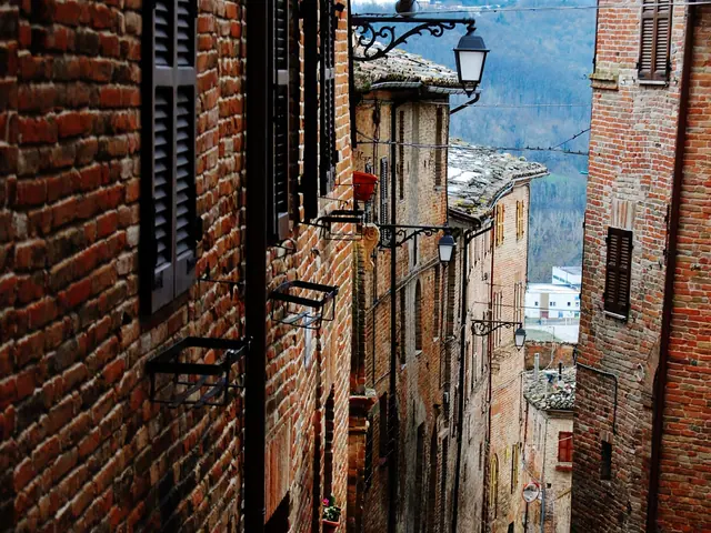 SarnanoLe Marche · Macerata
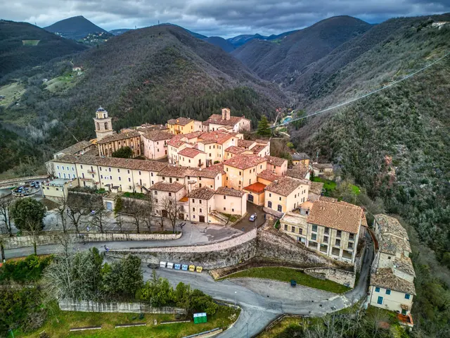 SellanoUmbria · Perugia
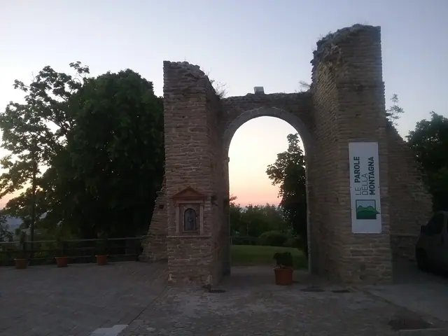 SmerilloLe Marche · Fermo
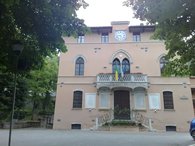 Ussita, Sibillini MountainsLe Marche · Macerata
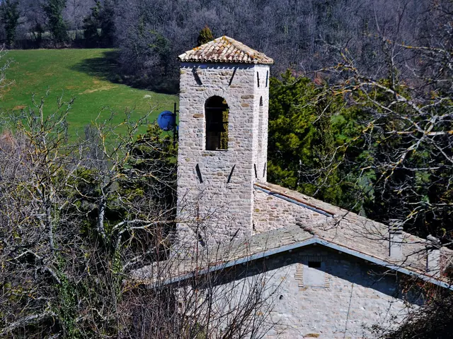 ValfornaceLe Marche · Macerata
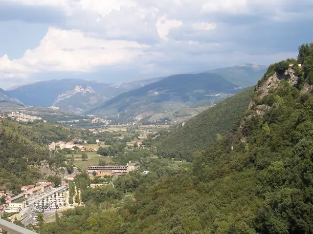 Valnerina
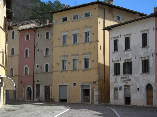 VissoLe Marche · Macerata
No results with these filters.
On the map
Points from the site database. Map © OpenStreetMap contributors · Protomaps.
Castelluccio di Norcia
Castelluccio di Norcia is a hamlet of Norcia, in Umbria, at 1,452 meters above sea level on a hill above the Piani di Castelluccio. It was founded in the 13th century as a castle defending the pastures. The earthquake of October 30, 2016 almost completely destroyed it, along with the church of Santa Maria Assunta. Reconstruction work, on an earthquake-resistant foundation slab, began in May 2024. Meanwhile some businesses operate out of temporary structures.
Amandola
Amandola was founded in 1248 from the union of three castles. The center is gathered around Piazza Risorgimento, the church of Sant'Agostino (14th-15th century), the Sanctuary of Beato Antonio, the La Fenice Theater and Piazza Alta, with its viewpoint over the eastern side of the Sibillini. The former Collegiata houses the Museo del Paesaggio (Landscape Museum), that is, the Park's Anthropogeographical Museum, moved here after the 2016 earthquake.
Montefortino
Montefortino stands at more than 600 meters on the right bank of the Tenna River. The gates of Santa Lucia, San Biagio and di Valle lead into concentric lanes with a medieval layout. From the hamlet of Rubbiano you can reach the Gole dell'Infernaccio, a gorge carved by the Tenna between Monte Priora and Monte Sibilla, and the Hermitage of San Leonardo al Volubrio, a hermitage at 1,128 meters. The hermitage's structure was compromised by the 2016 earthquake.
Arquata del Tronto
Arquata del Tronto is among the towns hardest hit by the 2016 earthquake. The shock of August 24 caused 52 deaths, and the one of October 30 completed the destruction of the historic core. The 13th-century medieval Rocca (fortress), which dominates the Via Salaria, remained standing. In October 2025 the restoration was approved by the Conferenza dei Servizi (joint planning board), and in July 2026 the final construction design was approved, with the aim of making the Rocca open to visitors again.
Montegallo
Montegallo, in the province of Ascoli Piceno, is made up of hamlets scattered over the northeastern slopes of Monte Vettore, along the upper course of the Fluvione; the town hall is in Balzo. Fonditore was the birthplace of Blessed Marco da Montegallo (1425-1496), credited with organizing the first Monti di Pietà (charitable pawn banks). The 2016 earthquake brought down most of the church of Santa Maria in Pantano.
Montemonaco
Montemonaco, at 988 meters in the upper Aso valley, lies below Monte Sibilla and began as a Benedictine monastic settlement. In its territory, at 2,150 meters, is the Grotta della Sibilla (the Sibyl's Cave), tied to the legend of the Apennine Sibyl and already described by Antoine de La Sale in the 15th century. It can be reached only on foot, and the entrance is now blocked by fallen boulders.
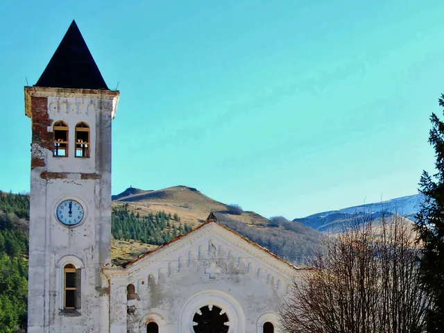
Bolognola
Bolognola, at 1,070 meters in the upper Fiastrone valley, is the highest municipality in the Marche. The village is divided into three clusters: Villa da Capo, Villa di Mezzo and Villa da Piedi. The springs of the Fiastrone are within the municipality. Its only hamlet, Pintura, at about 1,340 meters, grew up around the ski lifts.
Castelsantangelo sul Nera
Castelsantangelo sul Nera, in the province of Macerata, is home to the springs of the Nera River, where the Valnerina begins. The shocks of October 26 and 30, 2016, up to magnitude 6.5, had their epicenter right in the municipality. The historic center, with walls and a 15th-century layout, was almost completely destroyed along with its hamlets.
For the wider regions around these villages, see things to do in Umbria and things to do in Le Marche.