


Caldarola: things to see and do
At a glance
- Municipality
- Caldarola
- Province
- Macerata
- Region
- Le Marche
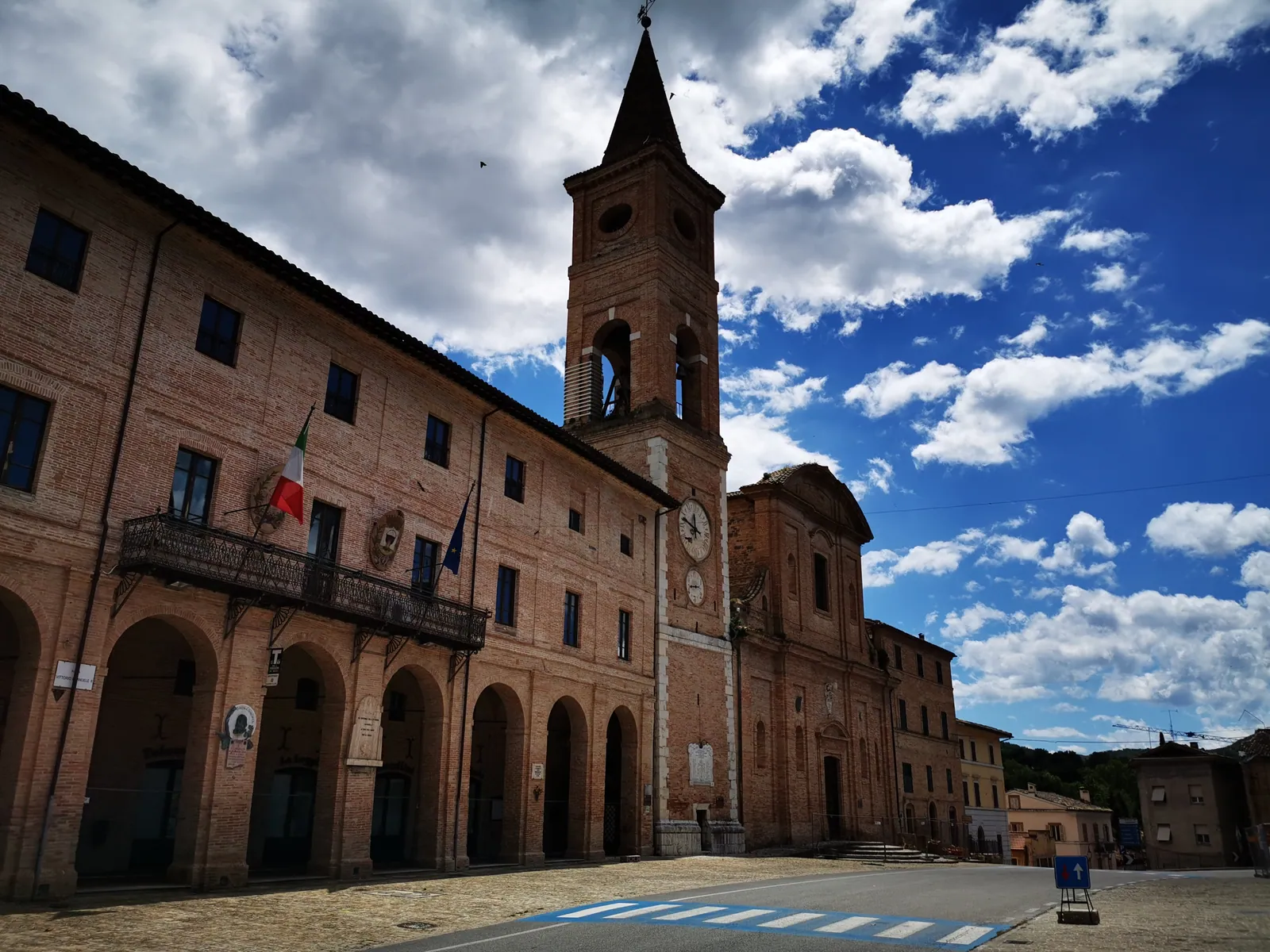
Caldarola is a municipality of 1,621 inhabitants in the province of Macerata, in the Marche. In the local dialect it is called Cardaròla. The town seen today is largely the work of Cardinal Evangelista Pallotta, born in Caldarola and made a cardinal in 1587. Within a few years he redesigned the medieval center around a large square, overlooked by the cardinal's palace, the Collegiate Church of San Martino and the Santuario di Santa Maria del Monte. To decorate the new buildings he called in Simone De Magistris and his school. Despite earthquake damage, the square keeps the Sistine-era town plan, intact since the 16th century. Above it stands the Pallotta Castle, built around the second half of the 9th century on the slopes of the Colcù hill and transformed toward the end of the 16th century by the cardinal, who made it his summer residence.
Before setting out, one thing must be known: Caldarola was hit hard by the 2016-2017 earthquake sequence. The shocks of 26 and October 30, 2016 irreparably damaged much of its historic heritage, and many monuments are still closed. The municipal territory ranges from 259 to 1,148 m above sea level. It is not part of the Sibillini Mountains National Park, but it is very close to its boundary. For this reason Caldarola is also known as “the gateway to the Sibillini”: it is a few kilometers from Cessapalombo, Visso, Fiastra and Amandola, municipalities that lie partly within the Park. Near the town the Chienti forms the artificial lake of Caccamo, also called Lago di Borgiano. The hamlets have the castles of Croce, Vestignano and Pievefavera.
On the map
Points from the site database. Map © OpenStreetMap contributors · Protomaps.
What to see in Caldarola
The visit starts from the 16th-century square created by Cardinal Pallotta. Today, however, almost all the monuments of the main town are closed or badly damaged by the 2016 earthquake. The Collegiata di San Martino is Caldarola's main church, inaugurated in 1590 with a bull of Sixtus V and temporarily closed after the 2016 earthquake. The spired bell tower, 45 meters high, is the work of the architect Pompeo Floriani. The Santuario di Santa Maria del Monte, the Palazzo dei cardinali Pallotta and the Municipal Theater (municipal theater) are all badly damaged. For Palazzo Pallotta, in early 2026 the municipality had completed the services conference and was preparing the final design and tender, with the aim of opening the building site within the year.
The Castello Pallotta is also closed to the public. It belongs to the Pallotta counts and is being restored. Works have already covered the outer walls and the drawbridge, and during the works 17th-century frescoes hidden under paint and plaster were discovered in an attic. The mayor has stated that the works should end in 2027 and that the castle could reopen to visitors at the end of 2027 or at the latest in early 2028.
The churches are still waiting for designs. In September 2026 the municipality complained that, although all of them were funded with earthquake funds, no reconstruction project had yet been submitted for any of them. According to the Curia, designers had been appointed only for San Martino and for the church of Vestignano.
The hamlets are a chapter of their own. Many fortresses in the area were part of the defensive ring built by the Da Varano of Camerino. Pievefavera has the castle, Palazzo Sparapani, the archaeological area and the Antiquarium, the municipal archaeological museum. The Antiquarium stands on the shores of Lago di Caccamo and was recently reopened to the public. The church of Santa Maria Assunta in Pievefavera, damaged by the earthquake, was reopened for worship on November 10, 2019. The castle of Croce dates from the 14th century and keeps its fortifications of large squared stones intact. The polygonal tower of the old fortress now serves as the bell tower of the parish church. Croce also holds several works by Nobile da Lucca and the De Magistris, but the church of the Santa Croce was damaged by the earthquake. Vestignano has the castle and the Church of Santi Martino e Giorgio, also damaged. Near Bistocco stand the ruins of two Da Varano watchtowers: one square in plan along the provincial road toward Valcimarra, the other circular in plan west of the village. Sasso has the ruins of the abbey of San Benedetto de crypta in saxo latronis. Descriptions of the individual monuments are on the page about things to do in Caldarola.
Nature and trails near Caldarola
Lago di Caccamo and the high ground between Monte Fiegni and Poggio della Pagnotta are the two natural destinations closest to the town. The lake is artificial: it was formed by a dam on the Chienti at the mouth of the gorge between Monte Letegge and Monte Fiungo. On its shores visitors can picnic, walk along the banks and set off on hikes. An agreement with the Monti Azzurri mountain union allows canoeing, kayaking and cable wakeboarding on the lake. Dense oak and beech woods grow around the lake, changing color in the fall.
West of the town the hills have soft, rounded shapes. The highest in the municipality are Poggio la Pagnotta (1,148 m) and Poggio la Serra (1,070 m). On the upland grassland between Monte Fiegni and Poggio della Pagnotta stands the small Romanesque church of Santa Maria Maddalena, the symbolic meeting point of four municipalities: Caldarola, Cessapalombo, Fiastra and Valfornace. An easy hike starts from the area of the relay mast, on the southeast side of Monte Fiegni, and reaches the church, at about 1,110 meters, with views of the northern peaks of the Sibillini Mountains National Park. The loop is 9 km long, takes about 3 hours excluding breaks and is graded T, meaning easy (tourist). The area also has a wartime history: during the Resistance the Allies dropped food and weapons from planes here for partisan groups. On the side climbing from Castiglione the route rises steadily, in full sun and without vegetation: it is wise to bring water and sun protection and to check the weather.
For longer walks, a stage of the Alta Via delle Marche runs from Lago di Caccamo to Lago di Fiastra. Halfway, almost at the summit of Monte Fiegni, the route enters the National Park. The area is also suited to mountain biking: some routes start from Caldarola, climb toward Poggio della Pagnotta, pass at the foot of Monte Fiegni, follow the ridge of Monte Petrella and then the trails of the old charcoal burners.
Where to stay in Caldarola
After the earthquake the accommodation on offer also shrank. In 2021 the mayor recalled that after the earthquake Caldarola had had to close many properties, because they were unsafe and could not be used by tourists. Travelers in campers can count on a camper stop a short distance from the historic center, very close to the expressway exit. The list of accommodation is on the page about where to stay in Caldarola.
Where to eat in Caldarola
The town has several places to eat. Specialties served include game, especially wild boar and roe deer, typical of the area, and freshwater crayfish. Addresses and information are collected on the page about Caldarola restaurants.
Local products of Caldarola
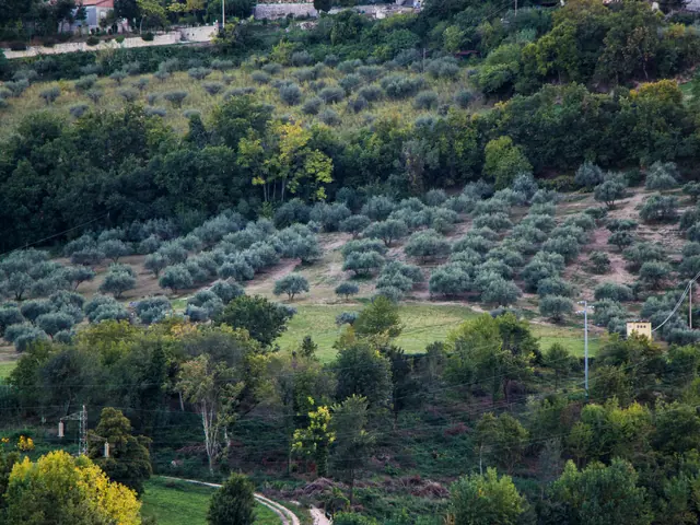
The product most tied to the area is olive oil. On the hills, especially around Croce, the olive groves are of the Coroncina variety and of a variety called Oliva grossa, known here as “Oliva grossa di Croce”. The landscape still bears the marks of sharecropping (mezzadria): small farms with mixed crops, with fields divided into strips along the slopes. Wine is also made in the municipality. A local winery works mainly with the native Vernaccia Nera grape and produces Vernaccia Nera Spumante DOC San Ginesio, Vernaccia di Serrapetrona DOCG and Serrapetrona Rosso DOC.
Crafts also have ancient roots: Cardinal Pallotta had workshops built to support local crafts. The workshops that remain today focus on quality work, such as wrought iron, glass and ceramics. Producers and shops are on the page on Caldarola local products and shops.
Weather and how to get to Caldarola
The town hall of Caldarola stands at 314 m. The rest of the territory is mostly hills below 700 meters, up to the 1,148 m of Poggio la Pagnotta. At altitude conditions can differ from those in town, so before a hike it is worth checking the forecast.
By car Caldarola is reached on the Val di Chienti expressway. The town is about 25 km southwest of Macerata and about 60 km southwest of Ancona. From the Adriatic coast, leave the A14 at Civitanova Marche, take expressway 77 and exit at Caldarola. From Rome, leave the A1 at Orte, continue to Terni, Spoleto and Foligno and take the Statale 77 through Colfiorito and Muccia, to the Caldarola exit of the expressway. From Foligno to the Caldarola exit is about 50 km, roughly half an hour's drive.
Without a car, Caldarola is served every day except public holidays by Contram buses. The most convenient railway stations are Macerata, Tolentino and Camerino-Castelraimondo, on the Civitanova Marche – Albacina line; from there continue by bus or car. Caldarola can also be a base for the Umbrian Sibillini: thanks to the expressway between the Marche and Umbria, Castelluccio di Norcia is easy to reach, where the plain blooms in summer.
In this section
4 results
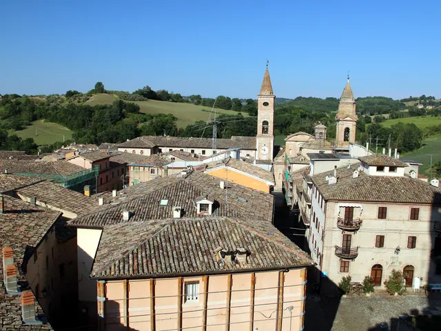 Things to Do in Caldarola18 places
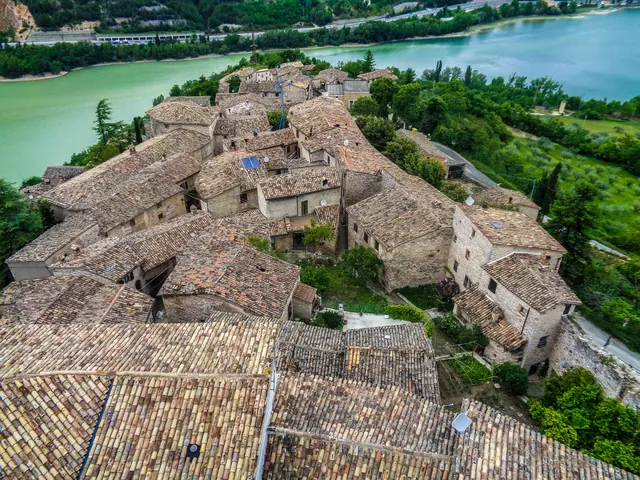 Where to Stay in Caldarola13 places to stay
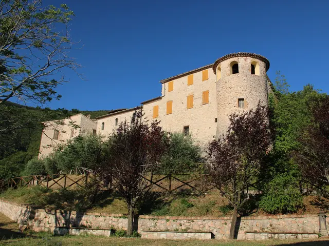 Caldarola Restaurants10 places
 Caldarola Local Products and Food Shops3 places
No results with these filters.