


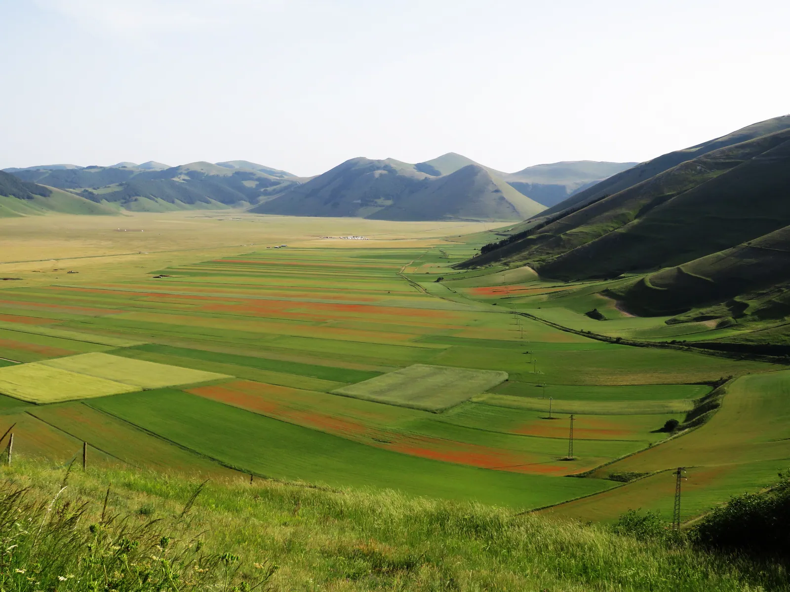
Sibillini Mountains Weather: Forecasts by Town and Altitude
The weather in the Sibillini Mountains changes a great deal with altitude. Cessapalombo, in the upper Fiastrone valley, has its center at just over 400 m. Bolognola, the highest municipality in the Marche, is at 1,070 m. Above the villages rise the ridges of Monte Vettore, the highest peak of the range. This is why the weather in a valley village says little about conditions on the passes or on snowy slopes.
Here the forecasts are divided by municipality, from the Fermo side to the Macerata and Ascoli sides. To find out about snow in the Sibillini Mountains today, it is worth also checking the high-altitude locations. In winter, before going out on snowy terrain, the Sibillini avalanche bulletin (bollettino valanghe) should also be read. Live images from the villages and passes are gathered on the page Sibillini Mountains webcams.
In this section
42 results
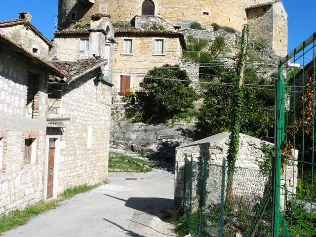 Acquasanta Terme WeatherGuide
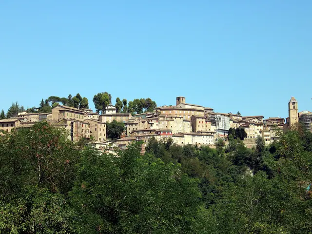 Amandola WeatherGuide
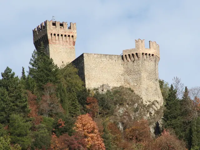 Arquata del Tronto WeatherGuide
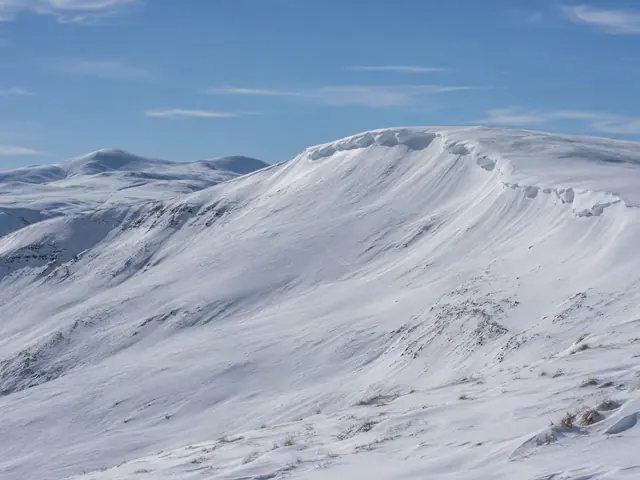 Sibillini Avalanche Bulletin (Bollettino Valanghe)Guide
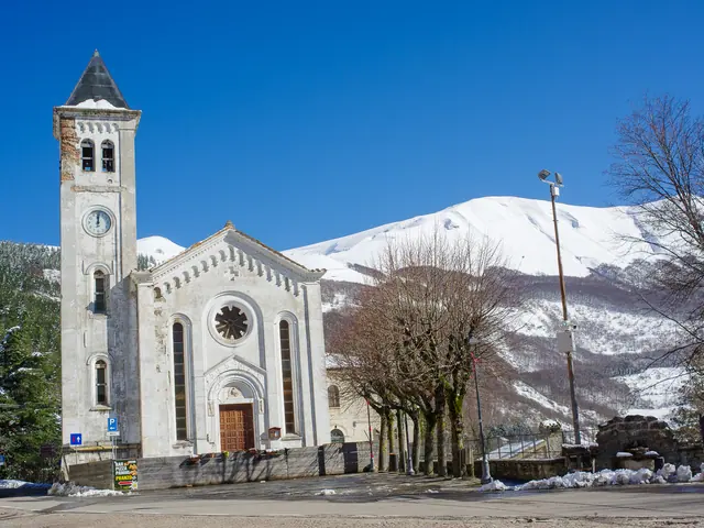 Bolognola WeatherGuide
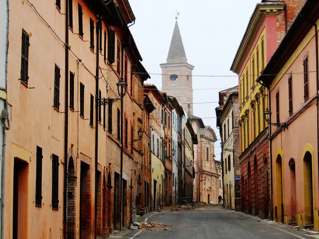 Caldarola WeatherGuide
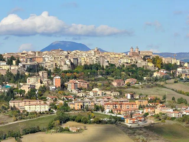 Camerino WeatherGuide
 Cascia WeatherGuide
 Castelluccio di Norcia WeatherGuide
 Castelsantangelo sul Nera weatherGuide
 Cessapalombo weatherGuide
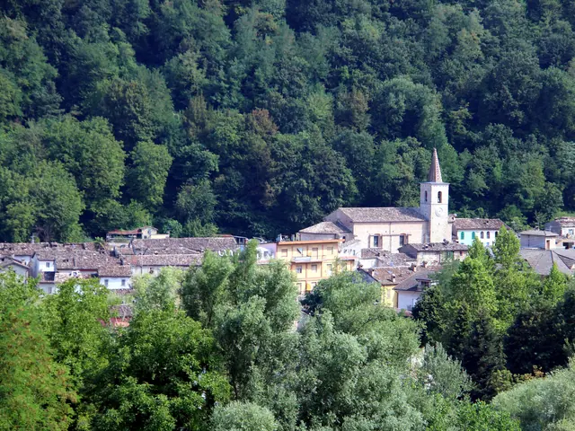 Comunanza weatherGuide
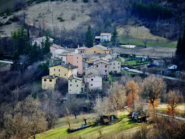 Fiastra weatherGuide
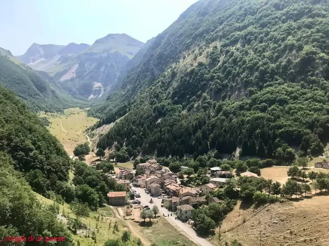 Foce di Montemonaco weather (high altitude)Guide
- Forca Canapine weather (high altitude)Guide
- Forca di Presta weather (high altitude)Guide
- Frontignano weather (high altitude)Guide
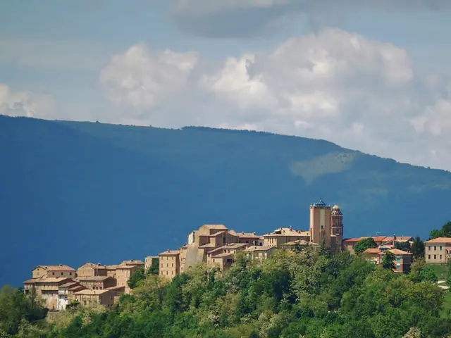 Gualdo weatherGuide
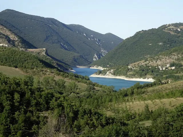 Lago di Fiastra weatherGuide
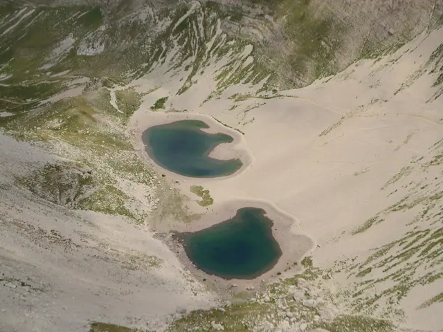 Lago di Pilato weather (high altitude)Guide
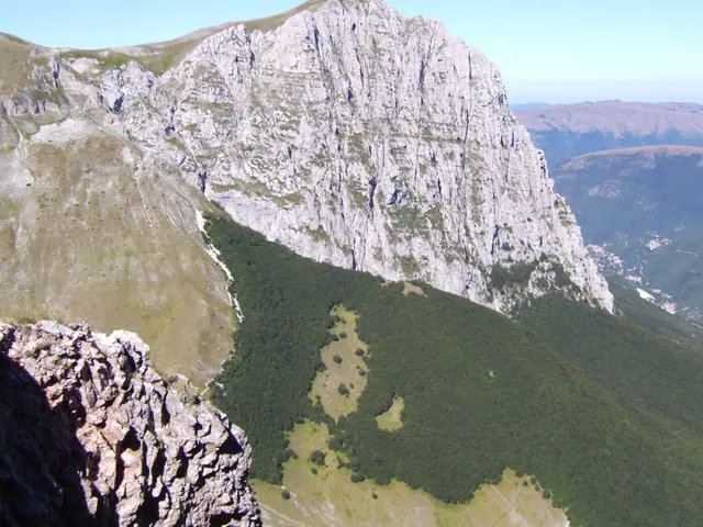 Monte Bove weather (high altitude)Guide
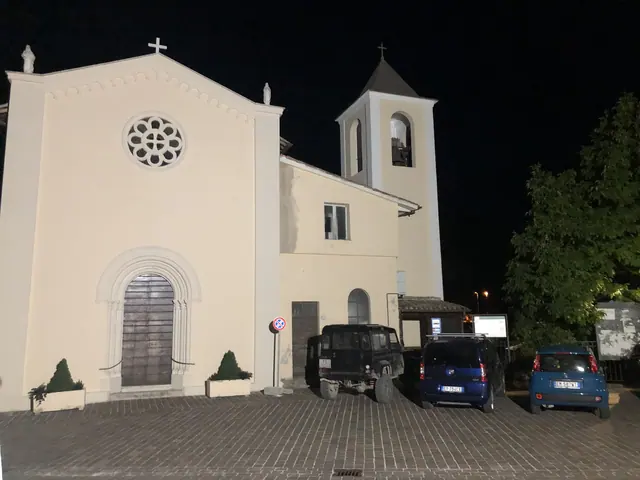 Monte Cavallo weatherGuide
- Monte Sibilla weather (high altitude)Guide
- Monte Vettore weather (high altitude)Guide
 Montefalcone Appennino weatherGuide
 Montefortino weatherGuide
- Montegallo weatherGuide
 Montemonaco weatherGuide
- Sibillini Mountains snow todayGuide
- Norcia weatherGuide
- Pieve Torina weatherGuide
- Pintura di Bolognola weather (high altitude)Guide
 Preci weatherGuide
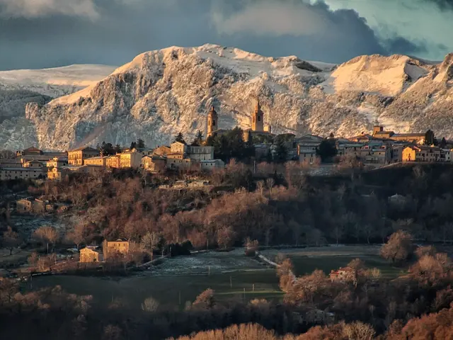 San Ginesio weatherGuide
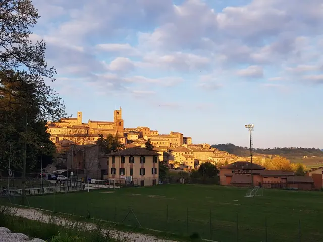 Sarnano WeatherGuide
- Sassotetto Weather (High Altitude)Guide
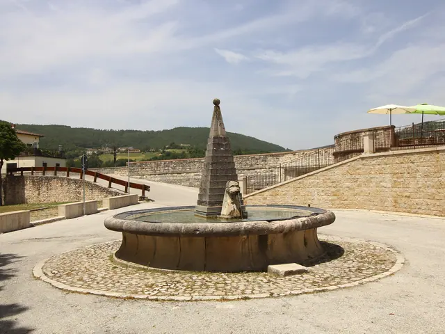 Sellano WeatherGuide
- Smerillo WeatherGuide
- Ussita WeatherGuide
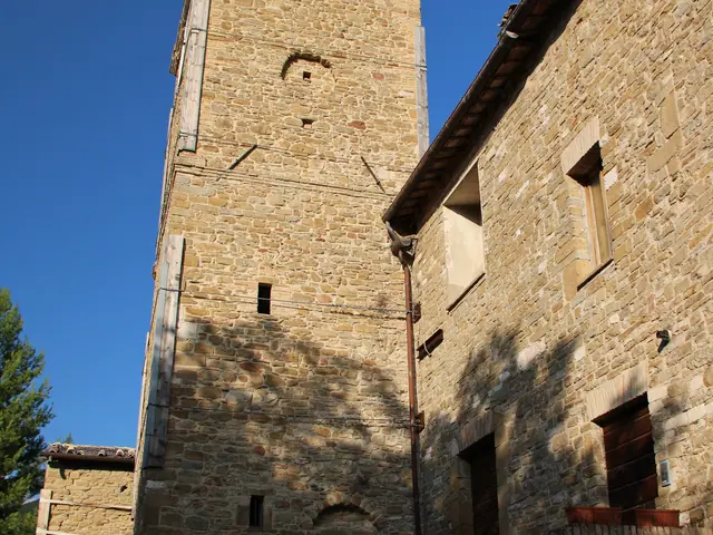 Valfornace WeatherGuide
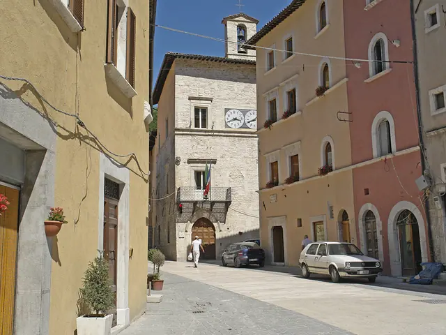 Visso WeatherGuide
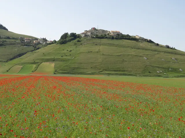 Sibillini Mountains Webcams11 places
No results with these filters.
Amandola Weather
Amandola is at 500 m, in the province of Fermo, on the eastern side of the Sibillini, in the upper Tenna valley. To the east the municipal area runs down the valley to Lago di San Ruffino, a lake. The hamlets range from 360 m at San Ruffino to about 880 m at Garulla Superiore.
Montefortino Weather
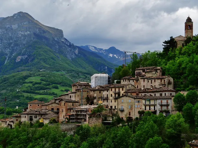
Montefortino, in the province of Fermo, has its center at over 600 m on the right bank of the Tenna river and still bears the marks of the earthquake. Behind the village are Monte Sibilla, Pizzo della Regina, Pizzo del Diavolo and the Gola dell'Infernaccio, a gorge. For hikes at these altitudes it is worth checking the mountain forecasts as well.
Arquata del Tronto Weather
The main town of Arquata del Tronto is at 777 m, in the province of Ascoli Piceno. The municipality is split between the Sibillini National Park and the Gran Sasso and Monti della Laga National Park. Its territory includes Forca Canapine, at 1,541 m. From Trisungo, the Strada Provinciale 89 (provincial road) climbs toward Pretare and Forca di Presta, a mountain pass shared with Norcia. The two passes have their own pages: Forca Canapine weather (mountain forecast) and Forca di Presta weather (mountain forecast).
Montegallo Weather
Montegallo is a scattered municipality with its town hall at just under 900 m. It lies on the northeastern slopes of Monte Vettore, along the upper Fluvione, and its main town is Balzo. The altitudes of the hamlets vary widely: Uscerno is at about 500 m, Casale Nuovo at 1,018 m. After the earthquake, on October 30, 2016, Montegallo and its hamlets were evacuated.
Montemonaco Weather
Montemonaco is at 988 m in the upper Aso valley, facing Monte Zampa and Monte Sibilla. By altitude it is the second-highest municipality in the Marche. Its territory reaches the Vettore massif, home to Lago di Pilato. For the higher altitudes there are the pages Lago di Pilato weather (mountain forecast) and Foce di Montemonaco weather (mountain forecast).
Bolognola Weather
Bolognola, in the province of Macerata, has its center at 1,070 m. The springs of the Fiastrone are in its territory. The ski area is in the hamlet of Pintura. The lifts start at 1,280 m and reach 1,680 m, below the summit of Monte Castel Manardo.
Castelsantangelo sul Nera Weather
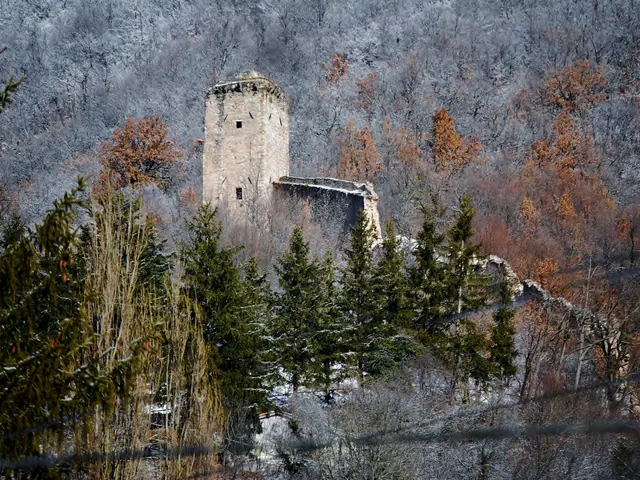
Castelsantangelo sul Nera has its town hall at 731 m, in the province of Macerata. The Nera river rises in its territory. The village was damaged by the earthquake of August 24, 2016. The highest points in the municipality include the Pian Perduto plateau (1,345 m) and Forca di Gualdo (1,496 m).
Cessapalombo Weather
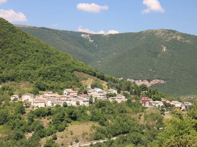
Cessapalombo is a mountain municipality in the upper Fiastrone valley, in the province of Macerata, with its center at just over 400 m. Only part of its territory lies within the Sibillini National Park.
The climate of the two regions is described in the pages on Umbria weather and Le Marche weather.