


Sibillini Mountains: a guide to villages, nature, trails and where to stay
The Sibillini in brief
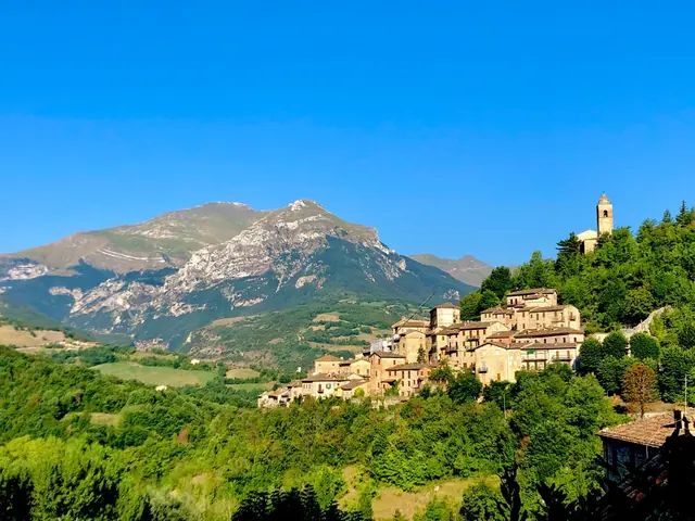
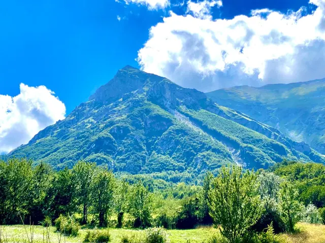
The Sibillini Mountains (Monti Sibillini) are a range of the central Apennines about 40 km long, straddling Le Marche and Umbria across the provinces of Ascoli Piceno, Fermo, Macerata and Perugia. By height, they are the fourth-highest massif of the continental Apennines. More than twenty peaks rise above 2,000 meters, and the highest is Monte Vettore at 2,476 m. Since 1993 the range has been protected by the Sibillini National Park (Parco nazionale dei Monti Sibillini), which covers about 70,000 hectares.
The landscape was shaped by Quaternary glaciers and by karst processes. They left U-shaped valleys, wide cirques and, on the western side, the three high-altitude basins of the Piani di Castelluccio. The Nera, Aso and Tenna rivers all rise in these limestone mountains. The effects of the 2016-2017 earthquakes are still visible: some historic town centers are only partly accessible or closed for reconstruction, and some trails may be closed by local ordinances.
What to see in the Sibillini Mountains
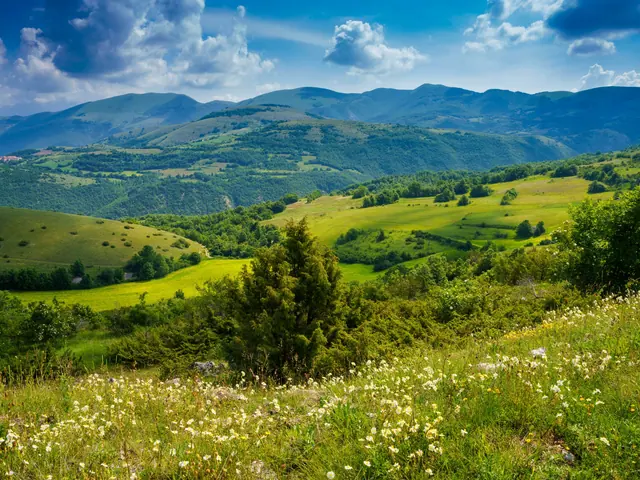
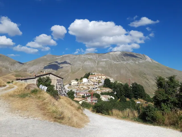
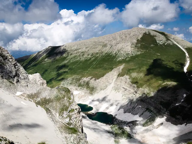
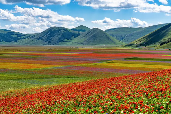
The best-known places in the Sibillini Mountains are Lago di Pilato, the Piani di Castelluccio and the high peaks of the Vettore group. Lago di Pilato lies at 1,941 m, below the summit of Monte Vettore, and it is the only place in the world where the Chirocefalo del Marchesoni (Marchesoni's fairy shrimp) lives. Straddling Umbria and Le Marche, the Castelluccio plateau covers about 15 km², at about 1,350 m, and includes Pian Grande, Pian Piccolo and Pian Perduto.
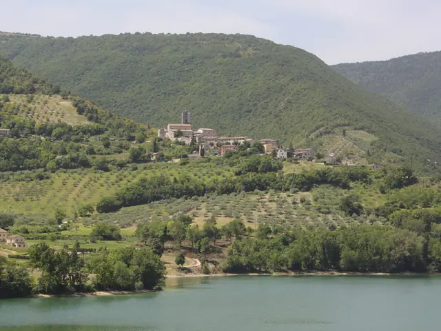
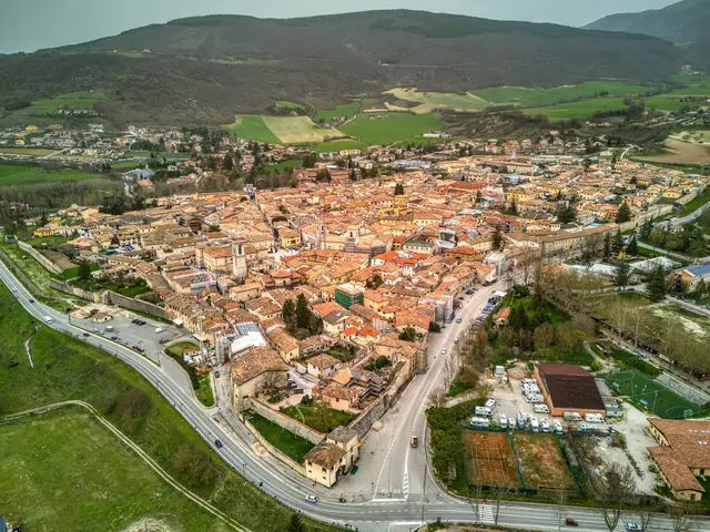
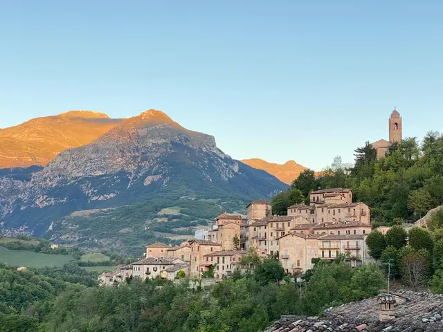
On the Marche side, Lago di Fiastra is the only artificial lake in the range, created by a dam on the Fiastrone river. The municipality of Montefortino is home to the Gola dell'Infernaccio gorge and the Valle dell'Ambro. Visso, Ussita, Castelsantangelo sul Nera, Castelluccio, Norcia and Preci are among the towns hit hardest by the 2016 earthquake. The full list is on the page Sibillini Mountains villages.
Hiking and trails in the Sibillini Mountains
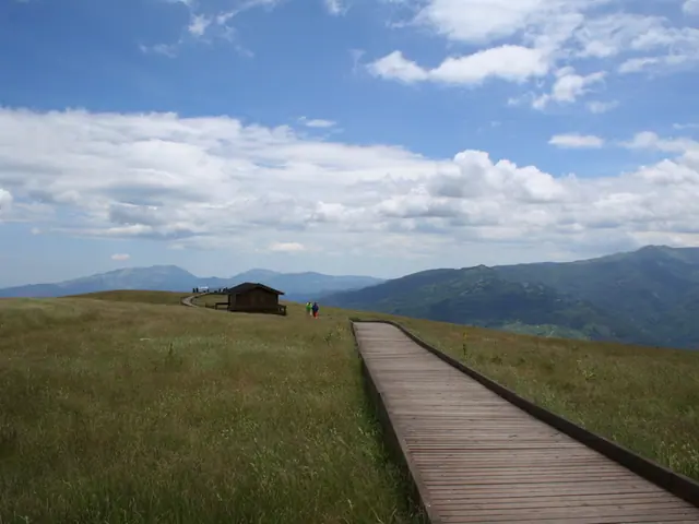
The signature trek is the Grande Anello dei Sibillini, a loop of more than 120 km of marked trail around the entire range, divided into nine stages that start and end in Visso. Each stage is between 9 and 19 km long, with 350 to 850 m of elevation gain and a walking time of 3 and a half to 6 and a half hours. The trail markers carry the letter G.
Hikers with less experience or less time can choose among 18 nature trails that start from the villages or nearby. Two of them are also suitable for strollers and wheelchairs. On its website the Park shows the status of each nature trail with a colored dot:
- green: trail open;
- yellow: only partly open, or with major detours;
- red: trail closed.
Before every outing, check the current status on the Park's official trails page (in Italian), together with the weather forecast. SibilliniGuide does not update trail status in real time. Routes and difficulty levels are on the page Sibillini Mountains hiking.
Where to stay and eat in the Sibillini Mountains
Anyone planning a multi-day hike should know that some of the hikers' huts set up by the Park as overnight stops on the Grande Anello are currently not usable. Accommodation is listed on the page where to stay in the Sibillini Mountains.
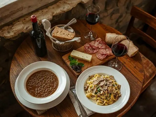
At the table, the signature product is the Castelluccio lentil (lenticchia di Castelluccio di Norcia IGP, a protected geographical indication): small and thin-skinned, it needs no soaking. The same plateau also grows roveja, a legume similar to the pea. Also worth tasting are Sibillini pecorino cheese (pecorino dei Monti Sibillini), made with milk from the Sopravissana sheep, and ciauscolo, a soft spreadable salami. Pink apples (mele rosa), honey and truffles complete the list. The details are in Sibillini Mountains food and local products.
Weather, snow and webcams in the Sibillini Mountains
The weather systems that reach the Sibillini Mountains come mainly from the north and northeast. In winter there are four ski areas:
- Frontignano di Ussita;
- Pintura di Bolognola;
- Sassotetto–Santa Maria Maddalena, in Sarnano;
- Monte Prata, in Castelsantangelo sul Nera.
Which slopes and lifts are running depends on the snowfall. The webcams at the ski areas and the one in Castelluccio, active since 2008, show the snow and the bloom: they are collected under Sibillini Mountains Weather.
When to visit the Sibillini Mountains
Summer and winter are the busiest seasons. Between late May and July the Piani di Castelluccio turn colorful with the flowering of lentils, poppies and cornflowers. The peak of the bloom usually falls in the last week of June, but it shifts every year with the weather. In August there are few flowers left and the lentil harvest begins. To avoid the bloom crowds, it is best to go up to the plateau on a weekday. In winter the season depends on the snow.
Events in the Sibillini Mountains
The best-known event is the Festa della fioritura di Castelluccio, also called La Fiorita, usually held on the third Sunday of June. On the busiest weekends, cars and campervans have been restricted or banned from the plain on some days, as in 2022 and 2023. The rules should be checked every year.
Beyond the Sibillini, the regional guides cover things to do in Umbria and things to do in Le Marche.
Find your way
Map of the Sibillini
Points from the site database. Map © OpenStreetMap contributors · Protomaps.
Hiking
Trails
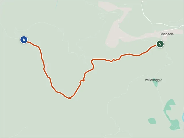 Pizzo dell'Arco Cocoscia trailDifficulty E · 2.6 km · +348 m · 1:40 h
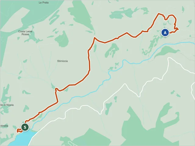 Lame Rosse Trail (CAI 335)Difficulty E · 4.8 km · +385 m · 2:35 h
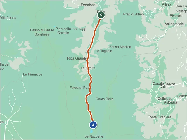 Trail 151 (Montemonaco)Difficulty E · 6.0 km · +1,002 m · 4:05 h
Trail maps: © OpenStreetMap contributors · Protomaps.