


Monte Porche: how to get there and trails
At a glance
- Type
- Peak
- Municipality
- Castelsantangelo sul Nera (MC)
- Elevation
- 2,233 m
Source: site database, © OpenStreetMap contributors (ODbL).
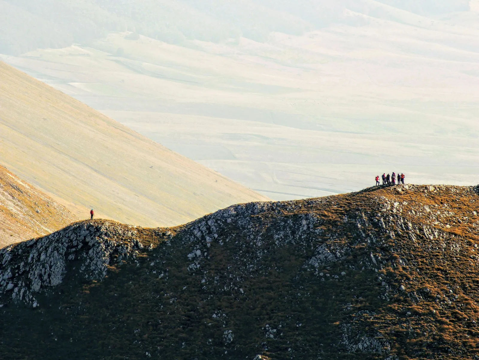
Monte Porche (2,233 m) is a peak of the Sibillini Mountains, in the Marche. It lies on the border between Castelsantangelo sul Nera, in the province of Macerata, and Montemonaco, in the province of Ascoli Piceno. The easiest access is from the Monte Prata parking area. From there, trail 261 leads to the summit with about 660 m of elevation gain and a stated time of 4 hours and 30 minutes. The difficulty is graded E, a hiking route.
In the valley below the mountain, near Foce di Montemonaco, the Aso River rises and flows from west to east, from the mountains to the sea. In the past the summit was called Monte Bellavista, for the view it offers.
Before you go
Forecast
- Today5° / 0°0.3 mmCloudy
Forecast by MET Norway, updated automatically · license CC BY 4.0
Rules and orders: Park website. Snow and avalanches: Meteomont bulletin.
On the map
Points from the site database. Map © OpenStreetMap contributors · Protomaps.
Where Monte Porche is located
Monte Porche is part of the Sibillini Mountains group and lies in the Marche, on the border between the municipalities of Castelsantangelo sul Nera and Montemonaco. It has a prominence of 278 m. The nearest village is Castelluccio di Norcia, in Umbria.
The summit is the junction of a long ridge. To the north it continues with the Porche di Vallinfante (2,113 m). To the south it connects to Palazzo Borghese (2,145 m). To the east it leads to Cima Vallelunga (2,221 m) and the Sibilla (2,173 m).
How to get to Monte Porche
The most used starting point is the parking area of the Monte Prata ski resort, at 1,650 m, in the municipality of Castelsantangelo sul Nera. It is reached on a paved road that starts from the Forca di Gualdo pass, between the Marche and Umbria. Before setting out, check whether the road is open, because in the summer of 2020 a section was closed for works and the last stretch had to be done on foot.
Other approaches exist from Castelluccio di Norcia, Frontignano and Foce di Montemonaco. They are longer and more demanding and are described below.
Trails and hikes on Monte Porche
From Monte Prata. From the parking area, an easy dirt track, trail no. 261, leads to the Fonte della Giumenta spring, at 1,799 m. Still on trail 261, the route reaches the Passo di Sasso Borghese, at about 2,050 m, from where a short but steep ridge leads to the summit. The route goes from 1,651 to 2,233 m, with 660 m of elevation gain, 12 km in length, 4 hours 30 minutes of walking and an E grade. Signs and waymarks are often missing, but the route is intuitive and poses no route-finding difficulties.
From Castelluccio di Norcia. The trail is about 10-12 km out and back, with about 800 m of elevation gain and an average time of 5-6 hours.
From Frontignano. The route passes through Saliere, Passo Cattivo and Cima di Vallinfante before reaching the Porche. It is about 18 km and 1,030 m of ascent, taking about 7 hours 40 minutes, and the route is graded difficult. Until December 31, 2026, however, the climb from Frontignano crosses the construction area of the Frontignano-Cornaccione gondola lift, where Comune di Ussita ordinance no. 48 of August 25, 2026 prohibits access even on foot.
Longer loops. A hike from Monte Prata links the Porche, Palazzo Borghese, Sasso Borghese and Monte Argentella: 15.6 km, 845 m of ascent and about 5 and a half hours. It is a tiring route in a high mountain environment, with exposed sections that can be hard for people who suffer from vertigo. The Cresta dei Sibillini, from Fonte San Lorenzo, also takes in Vallelunga and the Sibilla: it is a long traverse with a large elevation gain and is very difficult.
When to visit Monte Porche
The mountain is visited all year round, with different activities depending on the season. Hikes on foot from Monte Prata are also offered in summer and early fall. On a summit above 2,000 m, it is still wise to check the weather before setting out and to bring clothing suited to the altitude.
With snow, the Porche becomes a ski mountaineering destination. From Monte Prata, the classic route goes toward the Fonte della Giumenta and then up to the summit. From Foce di Montemonaco, the outing requires about 1,330 m of elevation gain and 5-6 hours out and back, with an MS grade. The lower part, in the woods, does not always have enough snow, while the upper part, facing south and southeast, is often in excellent condition.
What to see near Monte Porche
The Porche ridge is surrounded by other summits above 2,000 m. To the south are Palazzo Borghese and the Sasso Borghese. From the summit, a descent to the southeast leads to the laghetto di Palazzo Borghese. To the north the ridge continues toward Cima di Vallinfante and Cima di Passo Cattivo, which reaches 2,065 m. To the east are Cima Vallelunga and the Sibilla. To the southeast the route can continue toward Monte Argentella. A longer list is on the page the peaks of the Sibillini Mountains.
Those starting from Castelluccio di Norcia can combine the hike with a visit to the plain. Castelluccio lies at about 1,452 m and is known for the lentil flowering, between late May and mid-July.
Frequently asked questions
Where does the easiest trail to Monte Porche start?
How long does it take to climb Monte Porche?
How high is Monte Porche and what can you see from the summit?
Can Monte Porche be climbed in snow?
Nearby
What to see nearby
- 800 m
- 1.1 km
- Cima VallelungaPeak2.1 km
Where to stay
- Taverna della Montagna, MontemonacoMountain hut3.1 km
- Casale Monte Berro, UssitaBivouac or unstaffed hut4.7 km
- 5.5 km
Where to eat
- Buco Magico, MontemonacoClimbing2.5 km
- Latte Condensato, MontemonacoClimbing2.9 km
- 3.1 km
Straight-line distances.