


Punta di Prato Pulito: how to get there and trails
At a glance
- Type
- Peak
- Municipality
- Montemonaco (AP)
- Elevation
- 2,373 m
Source: site database, © OpenStreetMap contributors (ODbL).
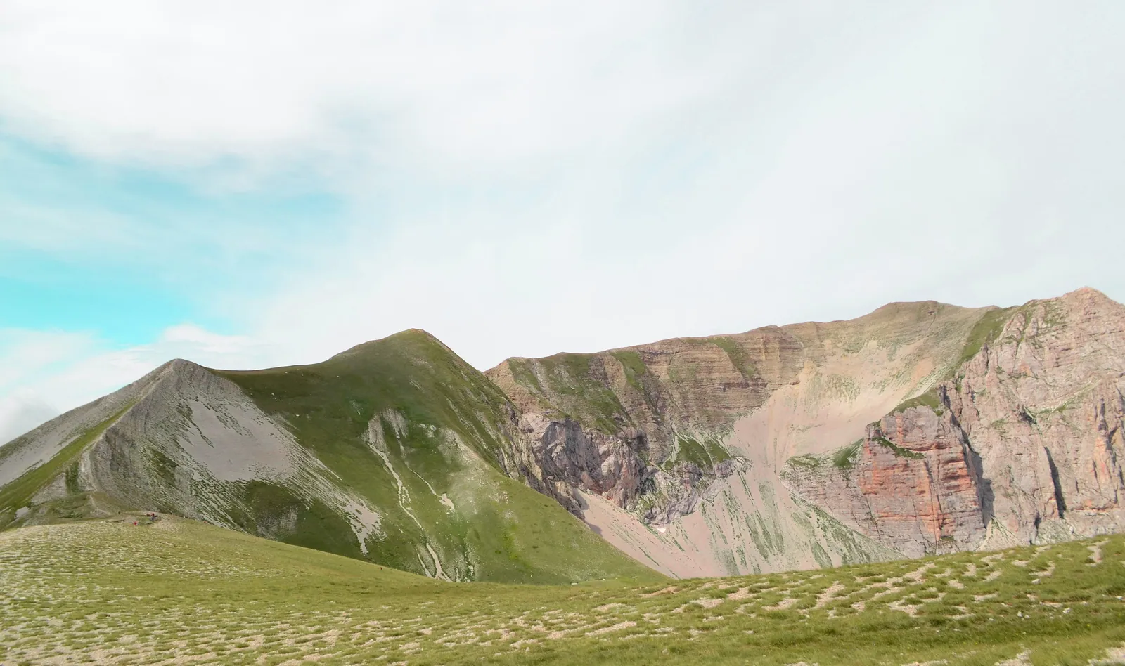
Punta di Prato Pulito is a 2,373 m summit in the municipality of Montemonaco, in the southern part of the Sibillini Mountains. It rises on the ridge above Lago di Pilato (Lake Pilato) and looks down on the Piana di Castelluccio. The most common ascent starts from Forca di Presta, a mountain pass, follows trail 101, then leaves the route to Monte Vettore and climbs the spur to the metal summit cross. The summit is often part of longer circuits on the Redentore ridge.
Before you go
Forecast
- Today4° / -1°0.2 mmCloudy
Forecast by MET Norway, updated automatically · license CC BY 4.0
Rules and orders: Park website. Snow and avalanches: Meteomont bulletin.
On the map
Points from the site database. Map © OpenStreetMap contributors · Protomaps.
Where Punta di Prato Pulito is located
Punta di Prato Pulito lies in the municipality of Montemonaco and reaches an elevation of 2,373 m. It belongs to the southern subgroup of the Sibillini, between Forca di Presta and Passo Cattivo, and is among the main peaks of this sector. There is a metal cross on the summit. A few minutes' walk away on the same ridge is Cima del Lago (2,422 m). The Zilioli hut, on the Sella delle Ciaule, is close by, about 130 m lower.
How to get to Punta di Prato Pulito
The summit can be reached only on foot. The most direct starting point is Forca di Presta, reached on the SP477 provincial road. Cars are left at the roadside on the pass. From Arquata del Tronto, follow the signs for Forca di Presta.
An alternative is to start from Foce di Montemonaco, at 945 m, for a much longer loop. The other start is the parking area below Castelluccio, where trail 553 begins.
Punta di Prato Pulito trails and hikes
From Forca di Presta, trail 101 climbs pleasantly to the Vettoretto (2,052 m). Then the ground turns to scree up to the Zilioli hut (about 2,240 m), on the Sella delle Ciaule. From the saddle, go left and climb the spur to the summit. The last stretch is steep and on loose rock. From the hut the climb is short but requires care.
The ascent from Forca di Presta takes a few hours of walking, with more than 800 m of elevation gain. Variations depend on the route chosen.
Many hikers continue along the ridge toward Cima del Lago and Cima del Redentore. This stretch is not marked, but the path is clearly visible. The loop from Forca di Presta over these peaks is a long and demanding route. From Foce di Montemonaco there is a much longer circuit, very demanding, taking in Lago di Pilato and the surrounding peaks.
The 2016 earthquake left marks on the slopes, with faults cutting across them horizontally. Between the Redentore and Punta di Prato Pulito there are also cracks and small sinkholes, so it is best to proceed with caution.
When to go to Punta di Prato Pulito
The peak is climbed in summer and fall, and it has also been reached in winter, with snow. In winter the ascent becomes more tiring and calls for suitable equipment. On one fall climb, extremely strong wind on the ridge forced a retreat. In August the trail from Forca di Presta can be very crowded, because of the draw of Lago di Pilato. Checking the weather and snow conditions before setting out is a good idea.
What to see near Punta di Prato Pulito
From the summit the view takes in the Lago di Pilato valley, Monte Vettore, Pizzo del Diavolo and, on clear days, even the Gran Sasso. Lago di Pilato lies at an elevation of 1,941 m, below Monte Vettore. It is home to the Chirocefalo del Marchesoni, an endemic species found only there.
Along the ridge are Cima del Lago and Cima del Redentore, the second-highest summit in the Sibillini after Monte Vettore, at 2,448 m. Farther north is Cima dell'Osservatorio, while the peaks of the Sibillini Mountains are gathered on a dedicated page.
Frequently asked questions
How high is Punta di Prato Pulito?
Where does the climb to Punta di Prato Pulito start?
How long does it take to climb Punta di Prato Pulito?
Nearby
What to see nearby
- Monte VettorettoPeak700 m
- Lago di PilatoLake1.0 km
- 1.2 km
Where to stay
- Bivacco Tito Zilioli, Arquata del TrontoBivouac or unstaffed hut500 m
- AgriMusicismo B&B&B, MontegalloCampground4.5 km
- La Valle Delle Aquile, NorciaFarm stay4.5 km
Where to eat
- Adrenalina, MontegalloClimbing2.8 km
- Classe 62, MontemonacoClimbing3.6 km
- 4.0 km
Straight-line distances.