


Monte Amandola: how to get there and trails
At a glance
- Type
- Peak
- Municipality
- Amandola (FM)
- Elevation
- 1,706 m
Source: site database, © OpenStreetMap contributors (ODbL).
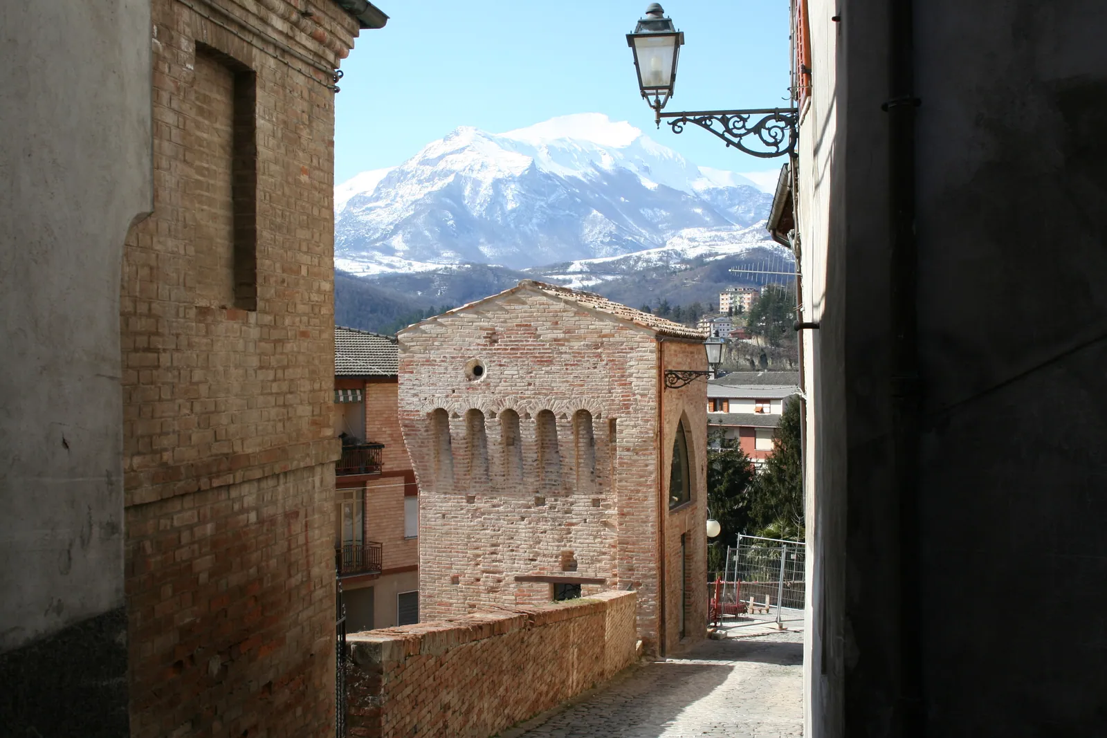
Monte Amandola (1,706 m) is in the municipality of Amandola, in the province of Fermo, in the eastern part of the Sibillini National Park in the Sibillini Mountains. It is the southeastern slope of Monte Castel Manardo. It is a gentle slope of meadows and woods, closed to the south by the Balzo Rosso, a wall of pinkish limestone that towers over the Santuario della Madonna dell'Ambro. On top there is a grassy plateau with a large cross. From there the view takes in the northern part of the range and reaches from the Corno Grande to the Conero, as far as the Adriatic. The usual starting point is Campolungo, at 1,185 m.
Before you go
Forecast
- Today8° / 4°0.3 mmPartly cloudy
Forecast by MET Norway, updated automatically · license CC BY 4.0
Rules and orders: Park website. Snow and avalanches: Meteomont bulletin.
On the map
Points from the site database. Map © OpenStreetMap contributors · Protomaps.
Where Monte Amandola is located
The mountain dominates the territory of Amandola, which is considered the eastern gateway to the Sibillini National Park. Many hamlets of the municipality stand on its slopes.
Monte Amandola is the southeastern part of the Castel Manardo massif (1,917 m). To the southeast the meadows slope down in a wide expanse called Campolungo. Between Monte Amandola and the summit of Castel Manardo, at altitudes between 1,600 and 1,700 m, lie the Grascétte pastures.
How to get to Monte Amandola
The most used starting point is the Campolungo di Garulla, at 1,185 m, on the slopes of the mountain, where the Rifugio Città di Amandola stands: check whether it is open before the visit. Amandola can be reached from the A14 highway, exiting at Civitanova Marche or Pedaso.
From Amandola, follow the provincial road toward Montefortino. After the cemetery, leave the road and turn right, following the signs for Garulla and the mountain huts. The road passes through Garulla inferiore and Garulla superiore and continues to the point where the pavement splits into two roads. Take the left one, toward Campolungo, and follow it to the end.
Those who prefer a longer walk can leave the car in Garulla, at about 860-880 m, and walk up toward the hut. Another option is to start from the Santuario della Madonna dell'Ambro and reach the mountain by passing below the Balzo Rosso.
Trails and hikes on Monte Amandola
The most direct ascent starts from Campolungo and follows trail E6 (number 241) along the east side, which is treeless. The summit is reached across wide, gentle grasslands.
For a complete hike, there is the loop: up the east side to the summit and down past the Grascette and Ricci farmhouses, among wide pastures overlooked by the north face of Monte Priora. After Casale Ricci the trail enters the woods and reaches the foot of the Balzo Rosso cliff. A final climb leads back to the starting point. The loop is about 11 km, with 750 m of elevation gain, and takes about 5 hours. The difficulty grade is hiking (E).
Other variants:
- From Garulla: start at about 860 m, take trail N4 to Casalicchio and climb to the hut. Then continue on the E6 to the summit and return by the same route. It is about 11 km out and back, with 850 m of elevation gain.
- Long route (EE): from Campolungo, the route passes through Pizzo Acuto, Pizzo Tre Vescovi and Fonte del Faggio. It is 18 km, 1,490 m of elevation gain and about 6 hours and 30 minutes, for experienced hikers.
- With Castel Manardo: from Garulla alta, the loop that also includes Castel Manardo is about 14 km, with about 1,200 m of elevation gain and an estimated 8 hours.
A stage of the Cammino dei Cappuccini passes through the area. On the long route, the CAI reports that the section from Casale Ricci to the junction with trail 230 is closed. After the 2016 earthquake, the passage below the Balzo Rosso had been closed. It is wise to check the current status of the trails before setting out.
When to visit Monte Amandola
The mountain is suitable for hikes all year round. With enough snow, the trails in the highest area, between Campolungo and Valle Caprina, can also be done on snowshoes or touring skis.
On the clearest days the Adriatic Sea and Monte Conero can be made out from the summit. For this reason it is best to pick a day with good visibility and check the weather before setting out. The east side is open and without shelter, so be prepared for changes in the weather.
What to see near Monte Amandola
The Balzo Rosso is the first natural stop: the pink cliff towers over the entrance to the Valle dell'Ambro and changes color with the sunlight. Below it stands the Santuario della Madonna dell'Ambro, where tradition places a Marian apparition around the year 1000.
To the northwest the ridge continues, grassy and gentle, toward Pizzo Tre Vescovi, with Pizzo Acuto standing out like an isolated spur. Above the Ambro opens the Valle di Rinaldi, a glacial amphitheater long used as pasture by the herders of Montefortino and dotted with farmhouses. To keep climbing there is nearby Monte Castel Manardo, while a broader picture of the mountains of the range is on the page the peaks of the Sibillini Mountains.
Frequently asked questions
How long does it take to climb Monte Amandola?
How high is Monte Amandola and what is the view from the summit?
Can Monte Amandola be climbed in winter?
Can you reach Castel Manardo from Monte Amandola?
Nearby
What to see nearby
- Prato Porfidia in MontefortinoRuins or archaeological site1.9 km
- Sanctuary of Madonna dell'Ambro (Montefortino)Sanctuary or hermitage2.0 km
- 2.2 km
Where to stay
- Casale Grascette, AmandolaBivouac or unstaffed hut600 m
- Casale Gualberto, MontefortinoBivouac or unstaffed hut800 m
- Rifugio Città di AmandolaMountain hut1.0 km
Where to eat
- Osteria del Nonno, MontefortinoBar and café2.1 km
- Il Chioschetto nel bosco, MontefortinoRestaurant2.1 km
- Z Chalet, BolognolaBar and café3.5 km
Straight-line distances.