


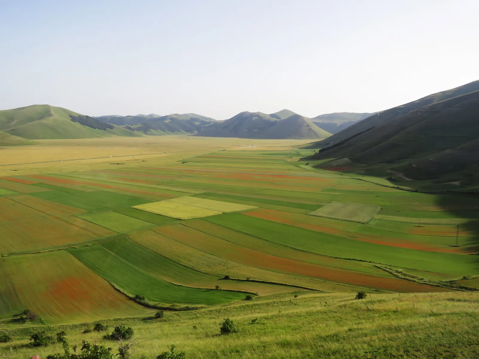
Plains and Plateaus of the Sibillini Mountains
The plains around Castelluccio di Norcia are the best-known system of plateaus in the Sibillini Mountains. The Piana di Castelluccio covers about 15 km² and is made up of the Pian Grande, the Pian Piccolo and the Pian Perduto. The village does not stand on the plain itself but on a rocky spur overlooking the Pian Grande. It sits on a hill at an altitude of 1,452 meters.
The plain is a karst basin, probably the floor of a lake that drained away over the centuries through natural sinkholes in the limestone ground. What remains is an unusually even, flat surface, rare in the Apennine landscape. Other upland plains of the Sibillini have their own pages, listed below.
The places
6 results
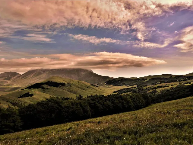 Forca di PrestaMountain pass · Arquata del Tronto
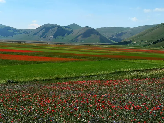 Piano Grande di CastelluccioGuide
- Pian PiccoloGuide
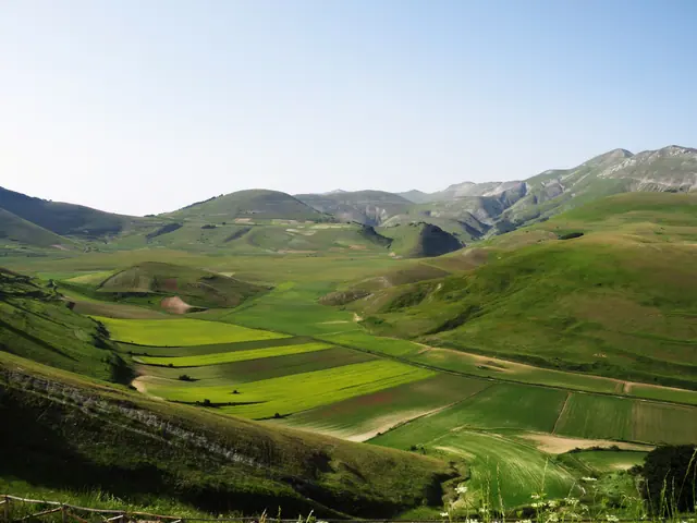 Pian PerdutoGuide
- Piani di Ragnolo and Pizzo MetaGuide
- Piano dei PantaniGuide
No results with these filters.
On the map
Points from the site database. Map © OpenStreetMap contributors · Protomaps.
Plateaus of the Sibillini Mountains: The Map
The Castelluccio basin is not a single plateau but a group of three distinct plains. The Pian Grande and the Pian Piccolo are in the province of Perugia, in Umbria. The Pian Perduto is in the province of Macerata, in the Marche.
The Pian Piccolo is a border plain linking the Pian Grande with the village of Castelluccio. It lies along the road that climbs to Forca di Presta. The Pian Perduto is the only one of the three in the Marche.
Besides these three, there are dedicated pages on the Piani di Ragnolo and Pizzo Meta and on the Piano dei Pantani.
Plateaus of the Sibillini Mountains: The Places Not to Miss
Pian Grande. It is the largest plain and appears in most pictures of the area. How to get there, when to go and what to expect are on the page about the Piano Grande of Castelluccio.
Pian Piccolo. It is a little more compact than the Pian Grande. Its distinctive feature is the Macchia Cavaliera, a beech wood that escaped the logging practiced in the past. A hiking route on the Pian Piccolo takes a few hours of walking and is of easy/moderate difficulty. Along the way there are views and a karst sinkhole. The trails are described on the page about the Pian Piccolo.
Pian Perduto. The name recalls the battle of Pian Perduto, fought on July 20, 1522 between the armies of Visso and Norcia for control of the farmland. This is where the Stagno Rosso (Red Pond) lies, between 38 and 43 meters wide and at most 1 meter deep. Information and routes are on the page about the Pian Perduto.
Other upland plains. The Piani di Ragnolo and Pizzo Meta and the Piano dei Pantani each have their own page, with directions and trails.
Plateaus of the Sibillini Mountains: Visiting Tips
The flowering. Between the end of May and mid-July the plain is covered with a carpet of colors known as the "Fioritura" (the Flowering). Great expanses of poppies alternate with expanses of daisies. The lentil flowering, at the end of June, is the most admired moment, but the area is visited in every season. Check the weather before setting out.
Winter. In winter the Pian Grande becomes a windswept white desert. Snowshoe outings have been offered on the Pian Piccolo. The clothing recommended for one of these included waterproof hiking shoes, a windproof jacket, a wool hat, gloves and water.
Photography. For landscapes of the Pian Piccolo, shooting from late morning until sunset is recommended, for good exposure to the light.