


Sentiero della Memoria (Trail 472): Route, Difficulty and Map
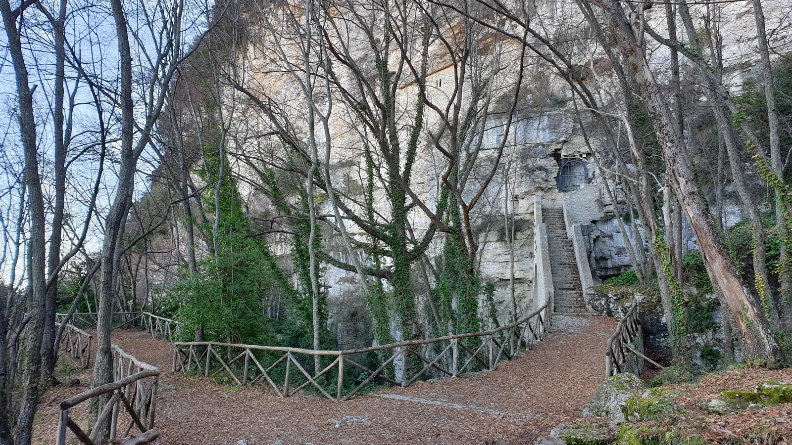
Trail facts
- Start
- Monumento dei Caduti, Colle San Marco · 703 m
- Finish
- Monte Vena Rossa, le Tre Croci · 945 m
- Route
- one way
- Trail marker
- 472
- Municipality
- Ascoli Piceno
The Sentiero della Memoria («Trail of Remembrance») is a hiking route in the municipality of Ascoli Piceno. It starts at the Monumento dei Caduti (war memorial) at Colle San Marco and climbs to Monte Vena Rossa, home to the Tre Croci («Three Crosses»). It corresponds to CAI trail number 472, is graded E (hiking) and is about 2.7 km long.
The trail is dedicated to the partisan resistance and starts from the plateau of Colle San Marco, an imposing flat-topped travertine tableland. Between 1943 and 1944 these places, peaceful today, were the scene of fierce fighting between the partisans of the Ascoli area and German troops. On the Montagna dei Fiori, the trail commemorates the sacrifice of the many young people who gave their lives for freedom.
- Distance
- 2.70 km
- Elevation gain
- +255 m
- Elevation loss
- −13 m
- Lowest point
- 703 m
- Highest point
- 959 m
- Difficulty
- E, hiking
- Time
- 1 h 15 min (estimate)
From the OpenStreetMap track and the Copernicus DEM profile; time is an estimate.
Before you go
Forecast at the start
- Today11° / 6°0.2 mmCloudy
Forecast by MET Norway, updated automatically · license CC BY 4.0
Rules and orders: Park website. Snow and avalanches: Meteomont bulletin.
Map, profile and GPX
S Start: Monumento dei Caduti, Colle San Marco · 703 m A Finish: Monte Vena Rossa, le Tre Croci · 945 m
Map and track: © OpenStreetMap contributors (ODbL).
- Ascent
- 255 m
- Descent
- 13 m
- Lowest point
- 703 m
- Highest point
- 959 m
Elevations: Copernicus DEM GLO-30 © DLR e.V. 2010-2014 and © Airbus Defence and Space GmbH 2014-2018.
Indicative OpenStreetMap track: check the markers and trail conditions on site.
The Route of the Sentiero della Memoria
The trail starts from the monument to the fallen of the Resistance. The monument stands at the first bend of the paved road toward Ascoli, and the trail starts on the right. Near the monument there is an open area for parking.
After a first stretch alongside a house, the trail enters the pine forest and climbs to a plateau. From here, to the left, it reaches the summit of Monte Vena Rossa (948 m), with the crosses of the partisans killed in the last war. The route crosses a conifer forest. Along the way there are several historic caciare, stone buildings.
The route follows the one the partisans used from San Marco to San Giacomo in October 1943. On site there is material explaining the historical context. On October 5, 2025, the CAI of Ascoli Piceno, with the support of the provincial ANPI (the national partisans' association), organized a hike along the trail from the San Marco plateau to Monte delle Tre Croci.
Sentiero della Memoria Technical Data
- Trail: no. 472, CAI register code (REI) MAPP4720, managed by the CAI section of Ascoli Piceno.
- Start and finish: from the Monumento dei Caduti at Colle San Marco to Monte Vena Rossa, at the Tre Croci.
- Difficulty: E (hiking, CAI scale).
- Length: about 2.7 km. The route is not a loop.
- Elevation gain: about 255 m of ascent.
- Elevation: between about 703 and 959 m.
To reach Colle San Marco by car from Ascoli Piceno, take the road through Le Piagge. Alternatively, it can be reached from Campli and from state road 81. The best period is from April to October. It is advisable to check the weather before setting out, as the trail crosses wooded areas.
More ideas can be found on the page on hiking in the Sibillini Mountains.
Sentiero della Memoria Map
The map shows the route of trail no. 472, from the Monumento dei Caduti at Colle San Marco to Monte Vena Rossa. The trail does not form a loop. Those who want a circular route can choose longer itineraries from Colle San Marco. One example is an 8.5 km loop with about 400 m of positive elevation gain. It touches Monte Vena Rossa, the Grotta della Margherita and Monte Giammatura, then descends through the Bosco dell'Impero to the Pianoro di San Marco.
Points of Interest Along the Sentiero della Memoria
Monte Vena Rossa and the Tre Croci. Here three small iron crosses mark the spot where Serafino Cellini, Alessandro Panichi and Narciso Galiè fell. The cross commemorates their death, on October 3, 1943.
Grotta della Margherita. Retracing a short stretch back from the summit, the route descends to this hermitage carved into a large limestone cave, which was a refuge for brigands, shepherds and partisans.
The caciare. These are dry-stone huts, typical shepherds' buildings of the area. Along the trail they appear together with the symbolic places of the Resistance in the Ascoli area.
The Monumento dei Caduti. The trail starts here, and it is also the best place to understand the meaning of the route before climbing.
Frequently asked questions
Who are the partisans remembered at the Tre Croci?
Is the Sentiero della Memoria a loop?
How do you get to Colle San Marco by car?
What else can you see beyond the summit of Monte Vena Rossa?
Nearby
What to see nearby
- Caciara, Ascoli PicenoRuins or archaeological site700 m
- Convent of San Lorenzo (Ascoli Piceno)Ruins or archaeological site1.3 km
- Hermitage of San MarcoChurch1.8 km
Where to stay
- Poggio Eco B&B in Ascoli PicenoB&B or guesthouse700 m
- Rifugio Mario Paci, Ascoli PicenoMountain hut700 m
- 1.3 km
Where to eat
- Ristorante Cubanito Bailòn, Ascoli PicenoRestaurant with farm stay, 4 rooms1.3 km
- La Taverna del Longobardo, Ascoli PicenoRestaurant2.7 km
- Ristorante Nannì, Ascoli PicenoRestaurant3.2 km
Straight-line distances.