


Things to do in Castelsantangelo sul Nera
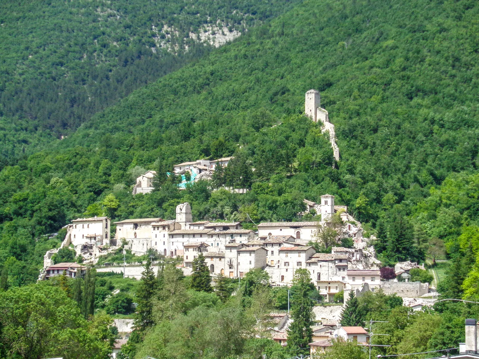
What are the things to do in Castelsantangelo sul Nera? Three above all: the medieval village with its triangular layout, tower and walls, the churches of the village and its hamlets, and the landscape of the Nera springs. Added to these are the Pian Perduto and the trails toward Forca di Gualdo and Fonte del Lupo. The whole municipal territory lies within the Sibillini National Park in the Sibillini Mountains, on the border with Umbria. The village stands on the slope of Monte Cornaccione, facing Monte Cardosa.
The 2016 earthquake changed the conditions for a visit. The artistic heritage was badly damaged, and the old village was closed off as a red zone: in 2021 it still was. The natural sites, on the other hand, remain the most concrete reason to come here.
The places
22 results
- ChurchChurch of Madonna del Domo (Castelsantangelo sul Nera)Church · Castelsantangelo sul Nera
- ChurchChurch of Madonna della Cona (Castelsantangelo sul Nera)Church · Castelsantangelo sul Nera
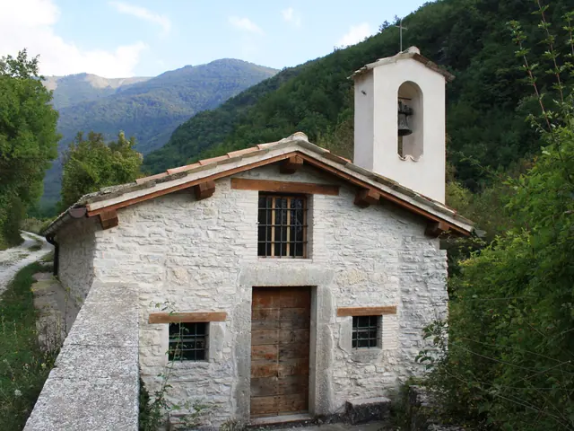 Church of Maina (Castelsantangelo sul Nera)Church · Castelsantangelo sul Nera
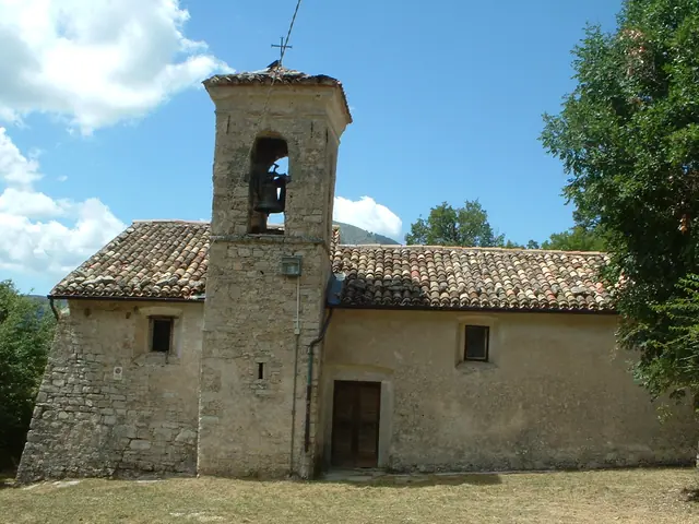 Church of San Giovanni Battista (Castelsantangelo sul Nera)Church · Castelsantangelo sul Nera
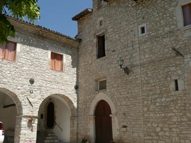 Church of San Liberatore (Castelsantangelo sul Nera)Church · Castelsantangelo sul Nera
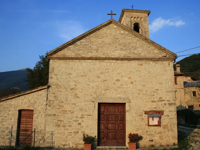 Church of San Martino (Castelsantangelo sul Nera)Church · Castelsantangelo sul Nera
- ChurchChurch of San Martino dei Gualdesi (Castelsantangelo sul Nera)Church · Castelsantangelo sul Nera
- ChurchChurch of San Pietro (Castelsantangelo sul Nera)Church · Castelsantangelo sul Nera
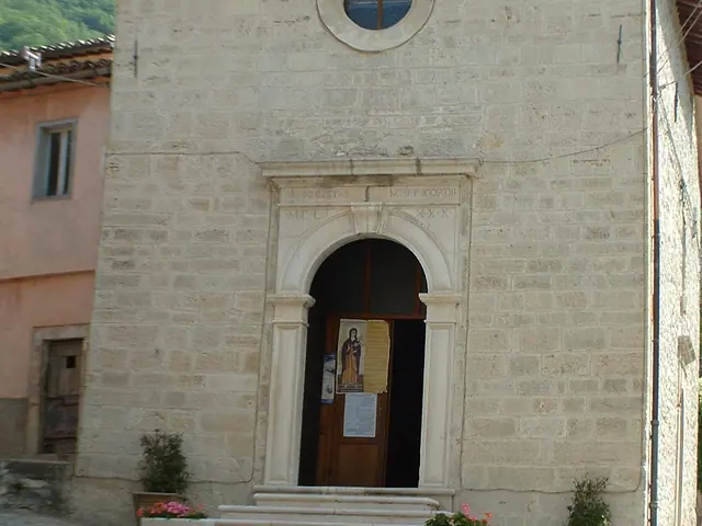 Church of San Sebastiano (Castelsantangelo sul Nera)Church · Castelsantangelo sul Nera
- ChurchChurch of San Vittorino (Castelsantangelo sul Nera)Church · Castelsantangelo sul Nera
- ChurchChurch of Sant'Antonio (Castelsantangelo sul Nera)Church · Castelsantangelo sul Nera
- ChurchChurch of Santa Lucia (Castelsantangelo sul Nera)Church · Castelsantangelo sul Nera
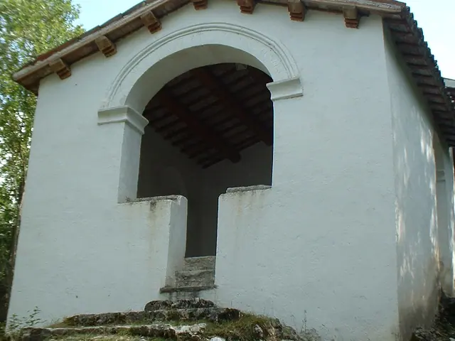 Church of Santa Maria (Castelsantangelo sul Nera)Church · Castelsantangelo sul Nera
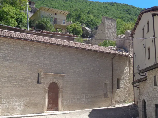 Church of Santo Spirito in Castelsantangelo sul NeraChurch · Castelsantangelo sul Nera
- ChurchChurch of Santo Stefano in Castelsantangelo sul NeraChurch · Castelsantangelo sul Nera
- WaterfallCascata del PisciatoreWaterfall · Castelsantangelo sul Nera
- PeakCima di Passo CattivoPeak · Castelsantangelo sul Nera
- PeakCima di VallinfantePeak · Castelsantangelo sul Nera
- SpringFonte del LupoSpring · Castelsantangelo sul Nera
- Mountain passForca di GualdoMountain pass · Castelsantangelo sul Nera
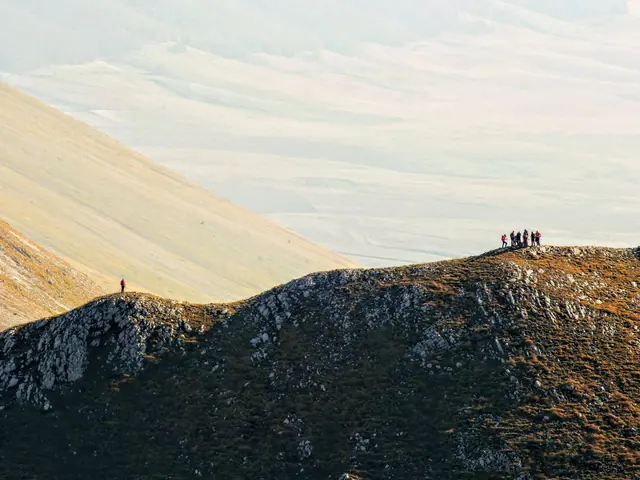 Monte PorchePeak · Castelsantangelo sul Nera
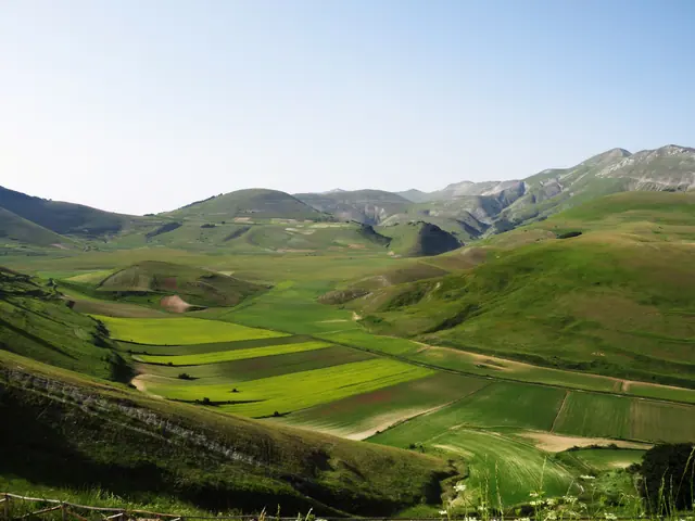 Pian PerdutoGuide
No results with these filters.
On the map
Points from the site database. Map © OpenStreetMap contributors · Protomaps.
Things to see in Castelsantangelo sul Nera: the map
Castelsantangelo sul Nera is in the province of Macerata, in the upper Nera valley. The village stands where three valleys open out, Infante, Rapegna and Corveto, along old mountain routes toward Norcia, via Castelluccio, and toward the Campiano valley. Arriving on the road that links Visso to Castelluccio di Norcia, the castle comes into view with its triangular shape. At the apex is the watchtower, from which run the walls enclosing the historic center.
Besides the main village, the municipality includes six hamlets: Gualdo, Macchie, Nocelleto, Nocria, Rapegna and Vallinfante. The places to see follow this geography:
- in the main village: walls, gates, tower and historic churches;
- in Vallinfante: the springs of the Nera;
- in Macchie: the churches of San Giovanni Battista and Sant'Antonio;
- higher up: Pian Perduto, Forca di Gualdo and Fonte del Lupo.
Things to see in Castelsantangelo sul Nera: the highlights
Walls, tower and gates of the castle. The village layout follows the architectural model of Visso: a large triangle with the Torre Maestra at the apex. From the tower two arms of walls branch out, with defensive towers. In some stretches the walls still keep their walkways and battlements. The gates include Porta Castello, Porta Sant'Angelo and Porta Nocrina, the last recognizable by its double arch. The castle was founded by the people of the valley floor, who sought protection from raids and placed it under the protection of the Archangel Michael.
Church of Santo Stefano. It already existed in the 13th century and has a stately bell tower. It holds a 14th-century stone baptismal font. Santo Stefano (Saint Stephen) is also the village's patron saint, celebrated on December 26. The church has a page of its own: Chiesa di Santo Stefano.
Church of San Sebastiano. It stands in piazza del Ponte, dates from the 16th century and has plain, simple architecture. Inside are frescoes from the 16th and early 17th centuries. According to tradition, the banner taken from the people of Norcia during the battle of Pian Perduto is kept under the floor.
Church of San Martino dei Gualdesi. A 14th-century Romanesque church with a bell tower pierced by mullioned windows. The frescoes are attributed to Paolo Bontulli da Percanestro, of the Umbrian school.
Monastero di San Liberatore. It is reached by climbing up from Porta Nocrina. It was built on the ruins of an old castle. The name perhaps comes from the fresco of Christ in the apse. The interior is a combination of vaults and narrow corridors, where the bare stone stands out. The chapel holds 15th-16th-century paintings of the Umbrian school, alongside numerous frescoes. More details are on the page on the Church of San Liberatore.
Other churches. In the countryside around the village is the Romanesque church of Santa Maria di Castellare. The church once held a precious polyptych attributed to Paolo da Visso. In Macchie, a hamlet at about 1,078 m above sea level, the church of San Giovanni Battista stands in the square and that of Sant'Antonio is at the far end of the village. On the ridge, near the border, is the Madonna della Cona, a small shrine looking toward Umbria. San Martino dei Gualdesi, the Church of Santo Spirito and the other churches of the area have a page of their own.
Deer visitor center and Centro faunistico. From via delle Mura Castellane, continuing toward the stream, the path leads to the Centro visite del cervo (deer visitor center) and then the Centro faunistico (wildlife center). The Centro faunistico, where the Park has reintroduced the red deer, is a fenced area of about 30 hectares: damaged by the earthquake, it is currently closed. The visitor center displays dioramas reproducing the natural habitats of the Sibillini.
Springs of the Nera and Cascata del Pisciatore. The Nera river rises at Vallinfante, at 902 m above sea level. A route along the Nera starts from the Molini spring and takes in an old water mill between Vallinfante and Castelsantangelo, the aqueduct intake and an old hydroelectric plant. From the village a loop hike passes the spring and the Cascata del Pisciatore: details are on the page on the Cascata del Pisciatore.
Pian Perduto. The Pian Perduto plateau lies at 1,345 m, at the foot of Monte Vettore. It is part of the territory of Castelsantangelo sul Nera, while the rest of the Castelluccio plateau belongs to Norcia. Here, on July 20, 1522, the people of Visso and the soldiers of Castelsantangelo defeated the people of Norcia in the battle that gave the place its name. The story is told in a rhyming poem, "La battaglia del Pian Perduto", written by a shepherd-poet from the village who lived in the 17th century. It can be reached by car from Castelsantangelo toward Castelluccio.
Forca di Gualdo and Fonte del Lupo. Forca di Gualdo is at 1,496 m and Fonte del Lupo at 1,775 m. Access and trails are described on the pages on Forca di Gualdo and Fonte del Lupo.
Peaks and ridges. The western part of the landscape has steep slopes between Monte Bove Sud, Passo Cattivo and Monte Porche, and limestone walls between Pizzo Berro, Cima Vallelunga and Palazzo Borghese. Recommended routes include Fonte San Lorenzo–Monte Porche, of medium difficulty, and Pian Perduto–Monte Argentella: both take several hours of walking.
Things to do in Castelsantangelo sul Nera: tips for the visit
Before setting out it is worth checking the accessibility of each monument. After the 2016 earthquake the artistic heritage was only partly open to visitors. The old village was closed and fenced off as a red zone, with no entry: in 2021 it still was, and before the visit it is worth checking which areas are accessible today. It is therefore not certain that the walls, gates and churches can be seen up close, and for some only the exterior can be admired from a distance.
Village life has partly moved into prefabricated modules. In the square named after Pietro Piccinini there are a few businesses: two bars, a grocery store and a norcineria (pork butcher's shop). A hotel with a restaurant has been built nearby. For overnight stays or meals, see the pages on where to stay in Castelsantangelo sul Nera, and Castelsantangelo sul Nera restaurants.
For mountain lovers, the trails toward Pian Perduto, Monte Prata, Forca di Gualdo and the Nera springs start from the village. Near Castelsantangelo there is also the Monte Prata ski area, at 1,850 m, with a two-seater chairlift, a ski lift and a magic carpet for the ski school area. In the 2025-2026 winter the lifts stayed closed because of construction work. Before any hike it is good practice to check the weather and trail conditions.